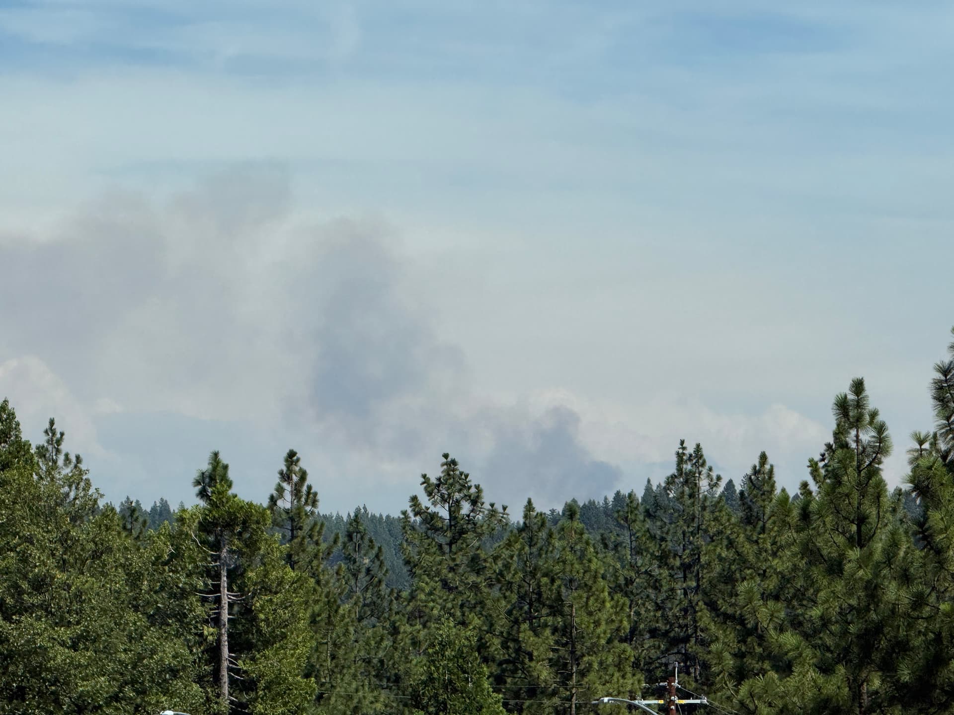
New start in the Calder burn scar.
View from hwy 50:
15 acres and has spotted to the north side of Mormon Emigrant Trail per WD.
Didn’t catch the name, but AA is request additional aircraft.
Anyone found a scanner link?
[FR/Major Brush / Wildland Fire] ca-enf-dennis 15 acres with Moderate Rate of Spread. Multiple Machine piles involved. This is in the Caldor Burn Scar
Established on both sides of MET, mostly south side right now. Multiple machine piles fully involved. Hard road closure of MET between Sly Park Rd and North South Rd.
If it’s in the Caldor scar don’t expect some nuclear event. I was just up there & that brush is no where close to that of the butte scar and other older fires. Only been 5 years.
Plus with the weather pattern shift, we’re gonna be drinking ice tea in our recliners. 
Chamomile tea to be exact zzzzzzz
forward progress stopped, mapped at 16.7 acres by FIRIS.
Hopefully this is a joke.
Not sure if it’s from the Caldor or what but that area is barren, at least on the satellite image
New name. Same thing.
Winner winner …
That makes a whole lot of sense now!