State ID:
3 letter designator: FKU
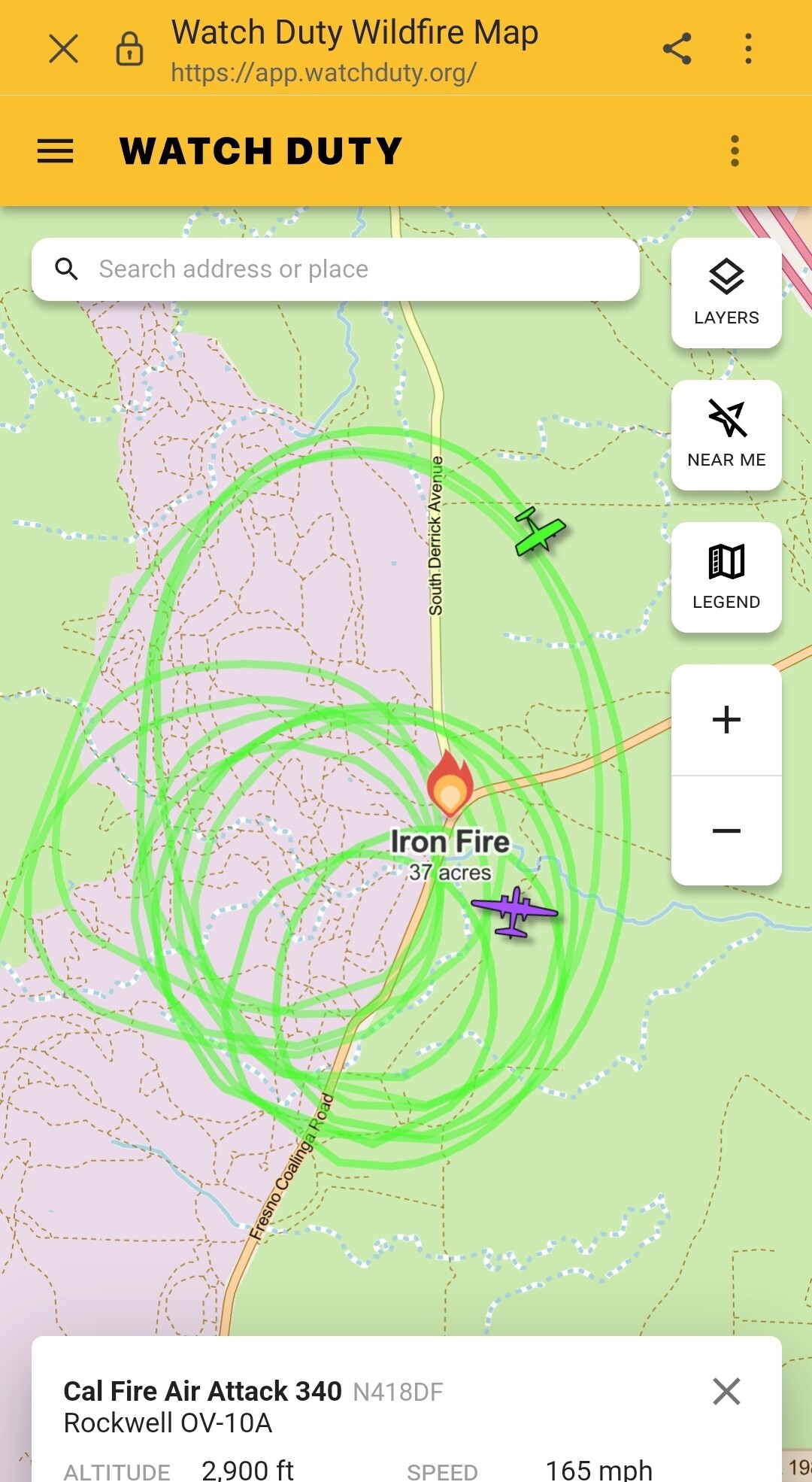
Fire name: Iron
Location: Highway-33 and S Coalinga Mendota Rd.
Reported acres: 30+
Rate of spread:
Report on Conditions: 2 separate fires approx 1 mile apart in lght flashy fuel with potential for 300-400 acres if both fires burn together.
Structure threat:
Resources:
Hazards:
Weather:
Radio channels:
Scanner link:
Webcam link: ALERTCalifornia - Joaquin Ridge
Agency Website:
2 Likes
Scanner link: CalFire FKU, Fresno County Fire, Sierra National Forest, Kings Canyon National Park, Sequoia National Park Live Audio Feed
2 Likes
2 fires
1 is 30 acres the other is 7
potential for 300 to 400 acres if they merge. smaller fire is boxed in by roads. larger fire has road at the head
3 Likes
Fires in this area usually have a pretty decent oil field road network to work with. They may run for a bit but are usually picked up by su down. Notice I say “usually”…decent grass crop this year.
8 Likes
I think you pretty much summed it up about the fire in the Oil fields area. Been on a few in that area. Lot of feed this year compared to years past. Thanks for the insight. Always nice and warm there this time of year.
5 Likes
IC calling all fires contained.
9 Likes