State ID: CA
3 letter designator: HTF
Fire name: Boot
Location: Mono County, Hwy 395 between Hwy 108 and Walker
Reported acres: 1200
Rate of spread:
Report on Conditions:
Structure threat:
Resources:
Hazards:
Weather:
Radio channels:
Scanner link:
Webcam link:Bald MTN Cam
Agency Website:https://www.facebook.com/CHPBridgeport/?tn-str=k*F&hc_location=group_dialog
2 Likes
Strong heat signature on GOES, winds gusting out of the west to 25mph
The farthest south that the west side of the 2002 Cannon Fire burned was the road into Bootjack Campground.
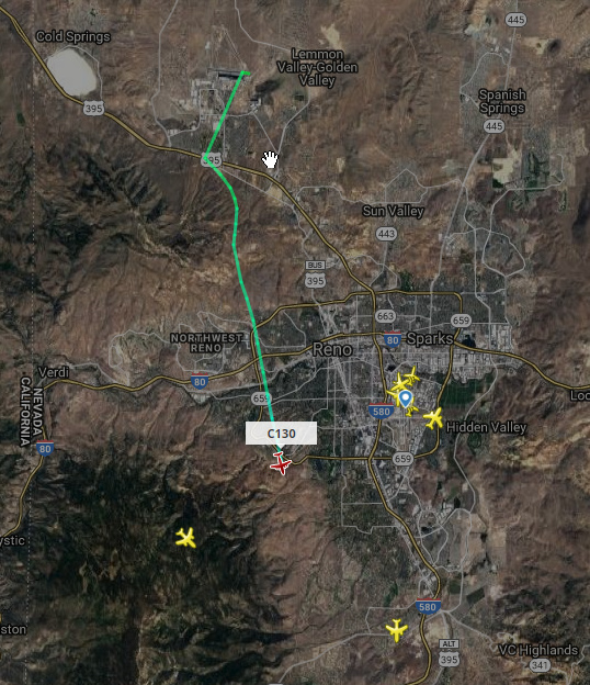
(This fire is, of course, famous for the C-130 wing failure/crash. There is a monument to the three lost souls where fire fighters travelling Highway 395 usually stop for a moment of reflection.)
That campground would be were the fire name came from.
The Walker Canyon is quite steep there but it begins to widen out perhaps a mile south of the Bootjack road and the vegetation slowly changes from timber to grass and sage.
From HTF Social Media:
3,000 acres. Evacuations: Bootleg, Chris Flat, Sonora Bridge Campgrounds. US 395 closed between N end of junction SR 108 to S Coleville. Structures threatened: Burcham Flats east of Walker Canyon.
1 Like
From: Boot Fire InciWeb link
Mono County Sheriff’s Office and California Highway Patrol evacuated residents and campers from the Leavitt Meadows campground, Leavitt Meadows Pack Station and the Marine Corps Mountain Warfare Training Center. The structures in Devil’s Gate Pass, Swauger Creek and Fales Hot Springs, four miles south of US 395 and CA SR 108 (Sonora Junction) are under a mandatory evacuation.
2018_09_05-22.49.42.356-CDT.pdf (1.1 MB)
6,706 acres with 3% containment
2 super scoopers and 5 type 1, 2 type 4 air tankers assigned today.
The official designation of this fire is NV-HTF-Boot. It is now 98% contained and the fire will be turned back to the local unit at 0600 tomorrow morning (9/15). Great Basin Team 5 has done the good work.
1 Like