North of the broder fire and 200 acres. It’s become more active in the last few days and is very visible today.
Swansea and lava cam1 are showing the smoke.
https://www.gbuapcd.org/cgi-bin/cameraViewer?Cartago+C1=on&Cartago+C2=on&Dolomite+C1=on&Dolomite+C2=on&Flat+Rock=on&Keeler+V1=on&Keeler+V2=on&Lava+C1=on&Lava+C2=on&Lizard+Tail=on&Microwave+C1=on&Microwave+C2=on&Swansea=on&Laws+North=on&Laws+South=on&Sage+Flat=on&Valley+North=on&Valley+South=on&Mono+East=on&Mono+West=on&Coso+North=on&Coso+South=on
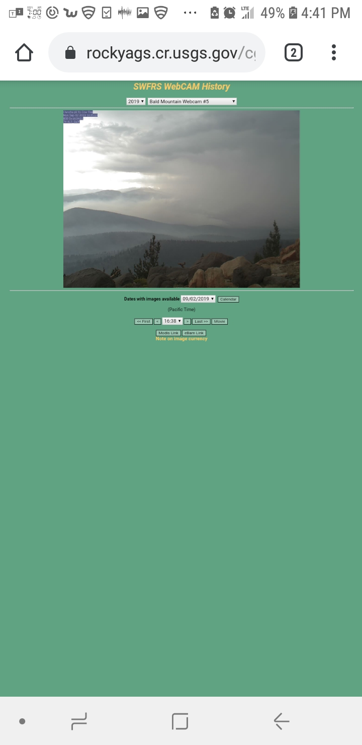
Bald mountain lookout has a good view.
https://rockyags.cr.usgs.gov/cgi-bin/camHist_movie.pl?camera=bald_mountain_2&visible=false&date=20190824&frame=111
2 Likes
They have set up a portable cam for the cow fire as well. I thought it was new fire on mountain route 99 at first but started looking at the other bald mountain cams.
https://rockyags.cr.usgs.gov/cgi-bin/camHist_movie.pl?camera=bald_mountain_5&visible=false&date=20190826&frame=3
685 acres. N40Y is mapping the fire currently.
3 Likes