The Lime fire is approximately 6 miles S/W of Hornbrook in Siskiyou Co in the Klamath NF currently 200+ acres per AA-52 overhead, looking for additional copters to assist w/ a spot inside a drainage. 2 tankers assigned.
2 Likes
Another new fire miles E/O Grenada, CA (Siskiyou Co) - Copter overhead of 2 acres in grass w/ moderate ROS & structures threatened, north wind on it. T94 & T95 being diverted off the Lime Fire. Aubrey Ln & Harry Cash Rd. This is the AubreyFire
Per Aubrey IC - The Fire has been knocked down, 5.08 acres.
4 Likes
Just heard Team 15 picked up the Lime Fire.
1 Like
We are assigned in briefing noon
3 Likes
AA requesting an additional large air tanker + 1 additional type 2 copter with bucket, sounds like fire is starting to chew through retardant in some spots.
1 Like
From Siskiyou Sheriff’s Department via Facebook:
Lime Fire - Klamath National Forest - Evacuation Warning
An Evacuation Warning has been issued for residents in the area between Ash Creek and Gottsville, along Highway 96, due to wildfire. The warning area extends north 4 miles between the above mentioned locations.
Please be prepared to immediately evacuate if notified.
Scanner Link:
1 Tanker diverted to a new start, “4-5 Fire”, I didn’t catch the location.
Air attack calling it 600 acres, ordered 2 more tankers.
1 Like
Is there any updated information on this fire?
Tanker 102 and 103 ordered to Lime from Red Bank
1 Like
No IR flight last night due to clouds. This links to their GIS map.
Mad River IHC assigned.
1 Like
2014 Beaver footprint. Gottsville in lower right of burn
https://app.box.com/s/14gtpifiu8ez26gzv3rjhsc39oodunvd
1 Like
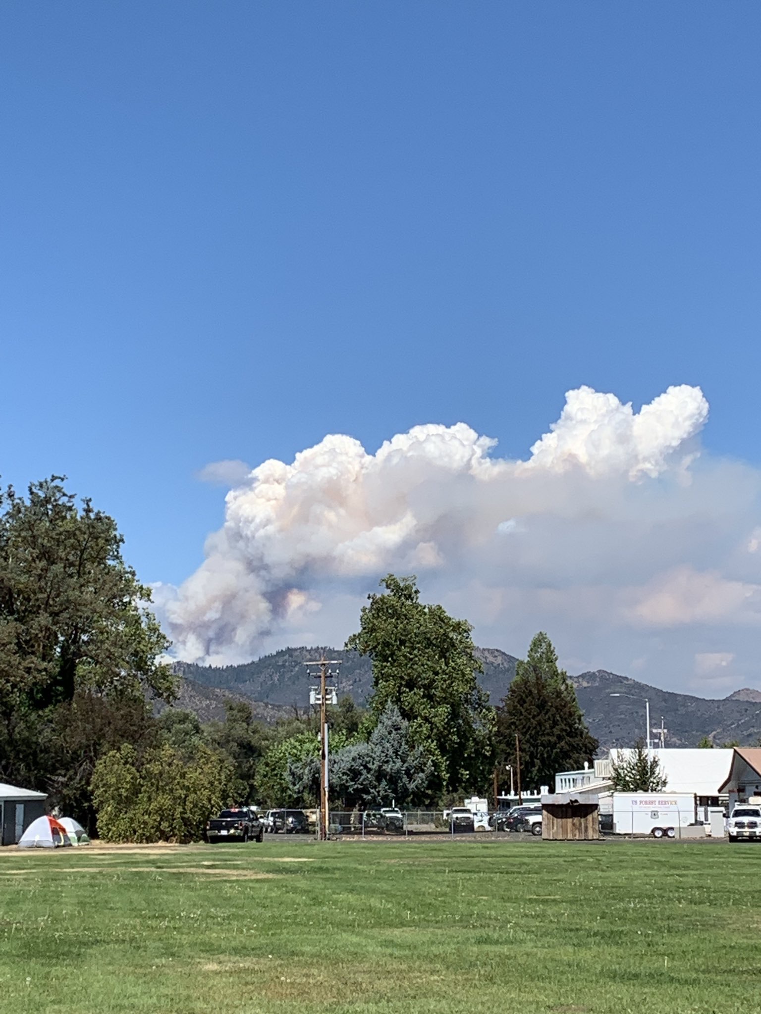
The fire made a hard run this afternoon, not sure where exactly but I could see the column in the photo @SmokeyPack posted. Then the fire activity was greatly reduced the rest of the afternoon. It crested Little Cottonwood Peak and was visible working its way down Shake Gulch toward Highway 96. I’d say it was about 1/3 of the way down the slope when I left about 1700 hours. AA was putting a copter on Div Z to slow that down, but there were no ground resources there. There will be significant acreage growth over the map that was posted this morning.
Edit: ONCC News and Notes has it at 1100 acres, 0% contained.
2 Likes
The OES T3 ST from XSA-emergency demob from Redbank and enroute to Lime
4 Likes
Tanker 96 (Rohnerville), Tanker 90 (Ukiah), Tanker 162 (MCC), and two Tankers (41 & 167) diverted from Red Bank Fire to the Lime Fire.
1 Like