South Bound I-5 North of Fort Tejon, 29 Miles South of Bakersfield
Local DPA, SRA, CONTRACT COUNTY
• 75 acres grass and brush, 5% contained
• Threat to Interstate 5
• Threat to structures and powerlines
• Evacuation warnings issued
• Steep access making containment difficult
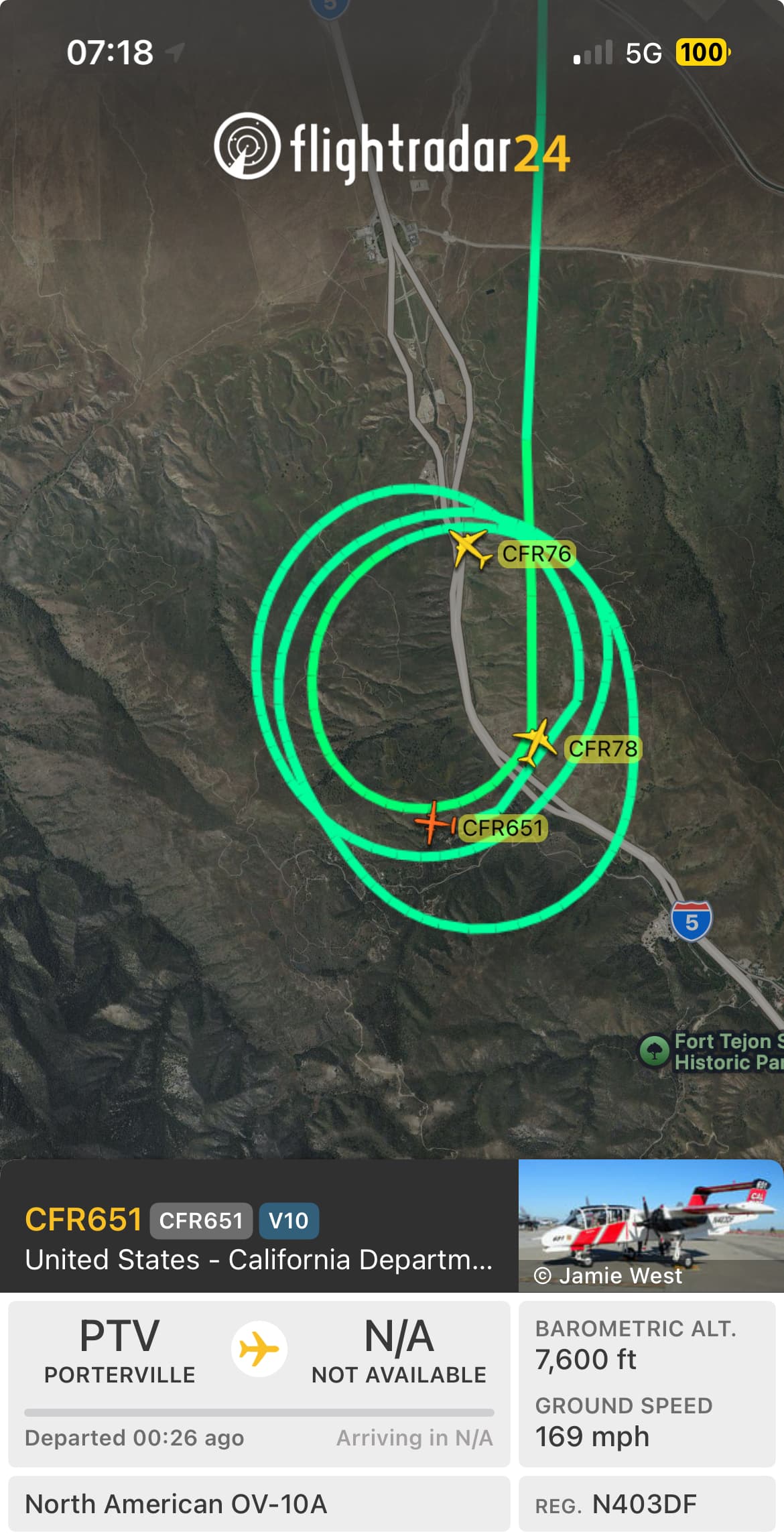
• Significant augmentation of resources
Grapevine 2
5 Likes
It was mapped at 133.2 acres by Intel 24 this morning
3 Likes
Watch duty is calling it 300 acres now
4 Likes
There are a couple of things working against this fire. One, it is happening now versus in about three weeks to a month from now. You can still see the green tint in a lot of the grass, especially as you gain in elevation on top. Two, starting during the early hours when all of Kerns crews and helicopters are available and the tankers haven’t been spoken for. I’ve been on that slope numerous times under similar conditions and it’s usually a smokey job with tough chopping the semi cured grass.
7 Likes
Forward progress at 220 acres.
7 Likes