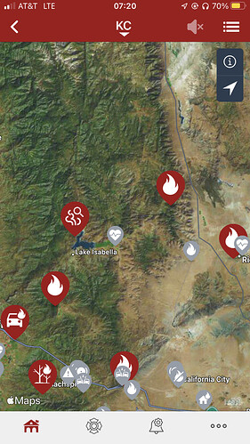
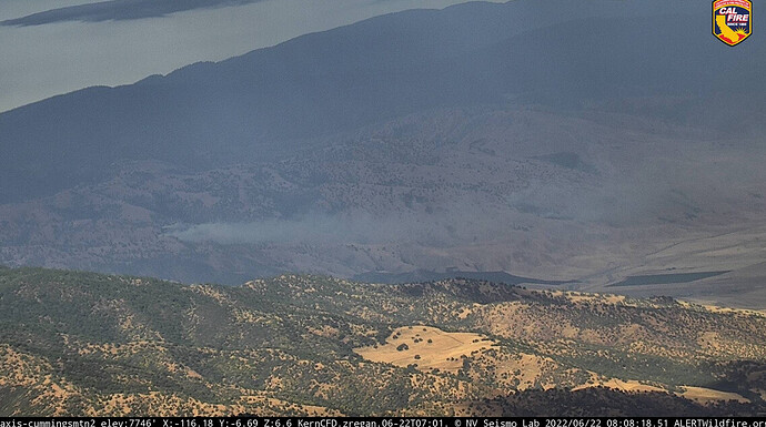
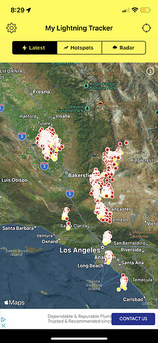
Kern had a nice lightning storm pass through this morning. Multiple lightning strikes starting to show smoke as the daylight
starts shining.Lighting map of this mornings activity. From La Basin north to Sierra NF.
https://www.blitzortung.org/en/historical_maps.php?map=35:
It stopped running the loop after a few minutes.
Try this map as well. Might have to scroll to California since it’s a world wide view,
https://www.blitzortung.org/en/live_dynamic_maps3.php
There’s one in woffard heights calling it the “Height” incident
Ventura County?
#ThunderFire #VegetationFire
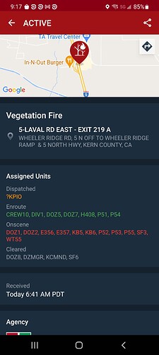
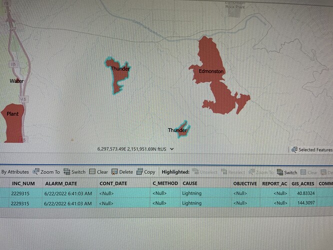
Location: Southeast of Interstate 5 and Edmonston Pumping Plant Rd
Two fires, possibly started by lightning. Estimated size of 35+ acres.
Kern County firefighters on scene.
#TolandFire; @VCAirUnit Copter 4 is over the fire and reporting approx. 1/2 acre burning in light to medium fuels, backing (burning against itself downhill) slowly. Crew 11 is being dropped off at the fires edge to begin attacking the fire. @VCFD @CountyVentura @VENTURASHERIFF
Might be a little confusion on the location. Edmonston is well within KRN.
Yeah it sounded like Kern to me as well.
Gonna be a air show… Releasing ground crews because they can’t get in
MOD NOTE:
All,
This could turn out to be a busy day for many. To assist everyone in the community, please start a Q&D for the appropriate fire and geographical area if a fire is confirmed. If an IA is warranted, do the same. We will do our best to assist with the placement and tracking. Your local knowledge, assistance, and patience will be greatly appreciated.
Thank you,
FJ
Tanker 137 off Fresno enroute Thunder Fire.
Jump 52 eroute Porterville Air Base. Staging?
Affirm on the staging. This happens frequently for them to prepo out of P-Ville when a lightning bust occurs.
No, it’s in Kern County
Second Fire
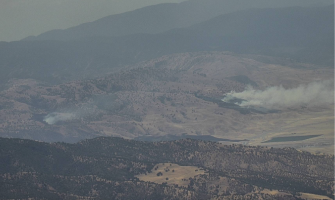
#ThunderFire
150 acres now according to Watch Duty app
Update 188 acres 15% contained
New incident is North of the river near hart park
