State ID: CA
3 letter designator: KRN
Fire name: Thunder
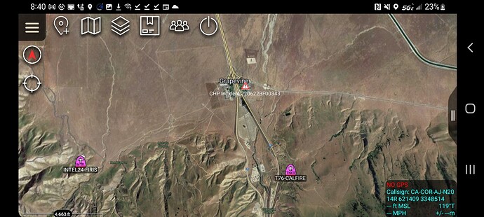
Location: 34.936618, -118.889446
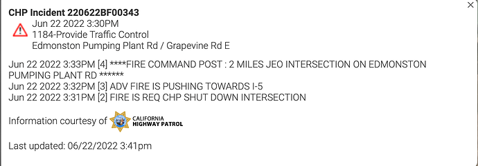
Edmonston Pump Plant Rd East of Interstate 5, South of Bakersfield
Reported acres: 188
Rate of spread:
Report on Conditions:
Structure threat:
Resources: Kern County Fire Department & CAL FIRE Tulare Unit
Hazards:
Weather:
Radio channels: Assigned air freqs
169.2875 Air Tactics
159.345 / 192.8 A/G (Tac 18)
126.875 Rotor Vic
Scanner link: Kern County Fire Departments Live Audio Feed
Webcam link: ALERT Wildfire
Agency Website: https://kerncountyfire.org/
5 air tankers and a helicopter working and it’s moved on to the valley floor.
The fire is likely going to run into the Shell Fire scar from last year.
Bet they Wished Cummings Valley camp was still there. Would of been all over it.
Live flight tracker: Flightradar24: Live Flight Tracker - Real-Time Flight Tracker Map
I5 impact appears imminent
Putting some tankers on load and hold.
Listening on scanner. Just inserted Heltiac into a unmanned piece of line. Waiting on further
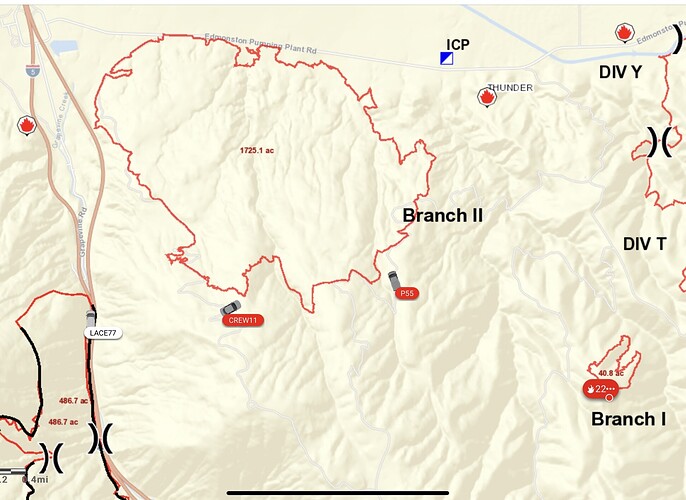
Part of the Edmonston and Plant Incidents are showing. Branch I & II are part of the Thunder Incident.
Friday morning update from Calfire: 2300 acres, 20% containment, 250 fire personnel on scene
Assigned air freqs
169.2875 Air Tactics
159.345 / 192.8 A/G (Tac 18)
126.875 Rotor Vic
A post was merged into an existing topic: CA-KRN-Thunder??
Tankers 16, 74, 75, 76, 78 105 have been working the fire since around 9am this morning.(some earlier)
Friday morning the #ThunderFire near the Grapevine off Interstate 5 in SoCal was 2,466 acres and had 311 personnel assigned. Update on fires:
The fire has slopped over the line near the heel


