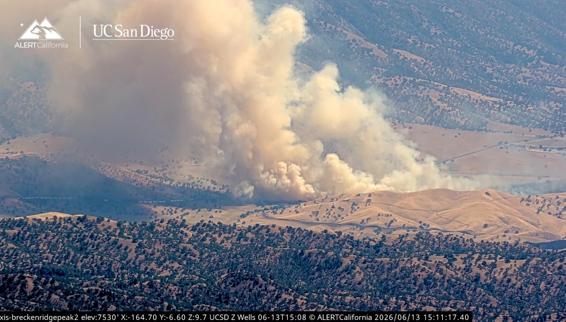
Highway 58 x Highway 223.
Timelapse shows critical rate of spread in grass, growing very fast!
Highway 58 x Highway 223.
Timelapse shows critical rate of spread in grass, growing very fast!
Vehicle fire into the vegetation on the Northside of highway 58
CalTrans Quickmap/CHP CAD (QuickMap) reports as a 18 wheeler fire into the grass. Radio feed:
Bakersfield Fire / Kern County Fire / USFS
Potential for 1,000 acres, structures threatened in a couple hours. A Charlie strike team, 2 Golf strike teams, and 2 water tenders, any type requested.
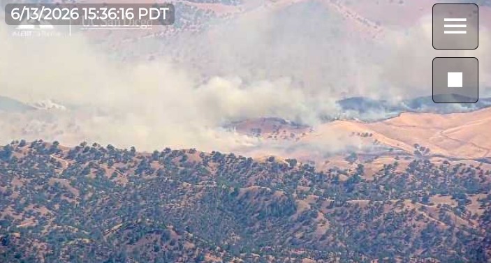
847 acres and looking much better, they fired off the train tracks and bealeville road.
Pretty much wrapped up at 1023 acres.
Each of the last several fires continue to work their way up (from the flats into the mountains) that become the more challenging SRA and fire history rich area. The last fire was a one off tractor/trailer fire spreading from the CD to the grass 2 lanes over. Several aspects of the circumstances and conditions should/are cause concern. It’s early, too early…