State ID: CA
3 letter designator: LAC
Fire name: Hungry
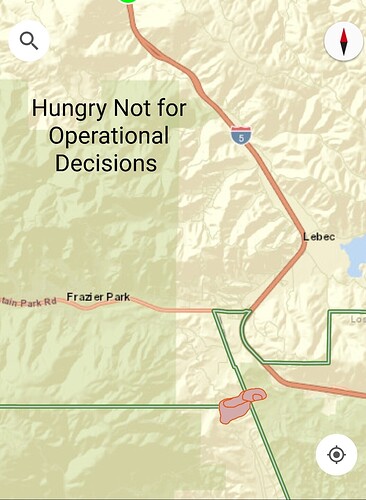
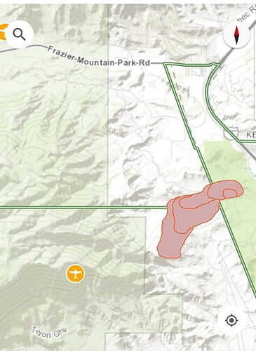
Location: 36000 Quail Canyon Road; Hungry Valley, CA
Reported acres: 20
Rate of spread: rapid
Report on Conditions: Large column showing on webcam, reported as a car crash into the vegetation. Rapid rate of spread in light to medium fuels, potential for 200+ acres.
Structure threat: yes
Resources: LAC 3rd alarm, ANF, LPF, KRN, AA504, T70, T71, T72, T73, T74, T75, T76, T78
Hazards: state park land (SRA) with difficult access on a 1 track road. High tension power lines.
Weather:
Radio channels:
Scanner link: Los Angeles County Fire - Blue 12 and V-5 Live Audio Feed
Webcam link: Gorman 1
Gorman 2
Lebec Oaks 1
Mt. Frazier 2
Mt. Frazier 2
Agency Website:
20 acres and running. This is just south of Frazier Mountain High School
AA504 overhead assuming Hungry AA, requesting 2 additional closest airtankers for a total of 4.
AA requesting a LAT or VLAT.
50 acres, rapid rate of spread in light to medium fuels. Direct threat to VNC SRA, and LPF FRA 2 miles away. Potential for 200 acres in the next hour. Minimal winds out of the west.
Requesting a 3rd alarm.
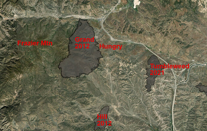
The way it’s burning it will run into the LPF land and hit the Grand fire burn scar from 2012. Not much re growth above the rolling hills there
2 additional tankers any type requested…
Tanker 70 (RNM) T71 (RNM) T72 (HMT), T73 (HMT) inbound with ETA 1710 hrs…
Appears thunder clouds moving in
AT70,71,72,73 ENROUTE.
Quail Canyon Rd x Goldhill Rd, 1 mile south of Frazer Park
Start time: 1520
• 70 acres grass, 0% contained
• Dangerous rate of spread
• 94 degrees, 14% RH, wind W, @ 10 mph, gusts to 17 mph
Rotor Show:
LAC C15,16,17, HT55, 76CG
Copt 305
HT8HT, HT9CH
LPF 528
Fire is making a big push on the SW side, trying to get engines out of the way. Immediate air support requested.
320 acres, MROS, in Ventura county now
Releasing the airtankers.
about time…just my experience with area…great effort and success to crews
340 acres. 55% Contained.


