Looks like tnk 137, 914, and 944. Hard to tell that area is all below radar
3 Likes
Scanner link???
1 Like
14,700 acres; 35% containment.
1 Like
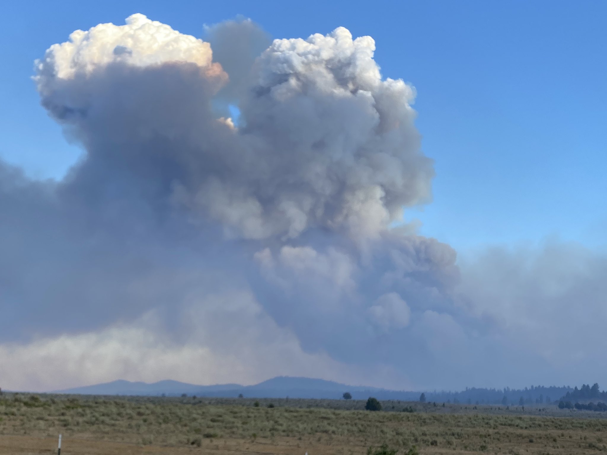
Taking off right now. Had anvil head and collapsed
1 Like
Anyone have any luck finding a camera that views that area. Looks like some smoke visible from the soda ridge 2 cam.
I think butts lake cam has it not sure which glow that it.
She appears to have pick up a little steam, but that’s purely based on internet voodoo.
2 Likes
ATAK Data Package is up…
https://drive.google.com/drive/folders/1GuY-MVWnlo3vlM7FEiDn8Nd3H_AXMpKn?usp=sharing
2 Likes
Capping out pretty good! Keep your heads up!
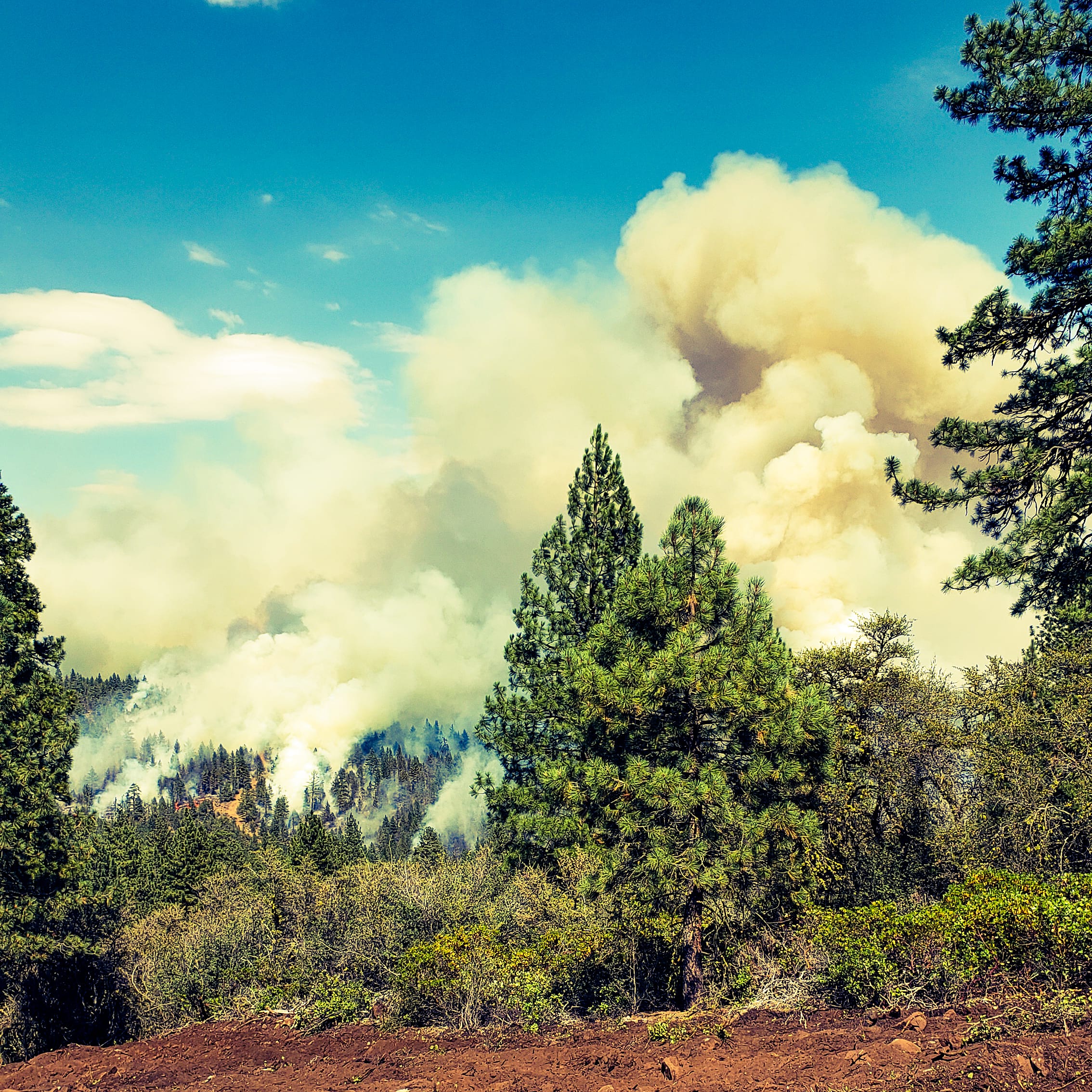
Fire is making another push with a few structures out in front of it
2 Likes
We are at the Hog fire, watching ithe gold fire cap out
1 Like
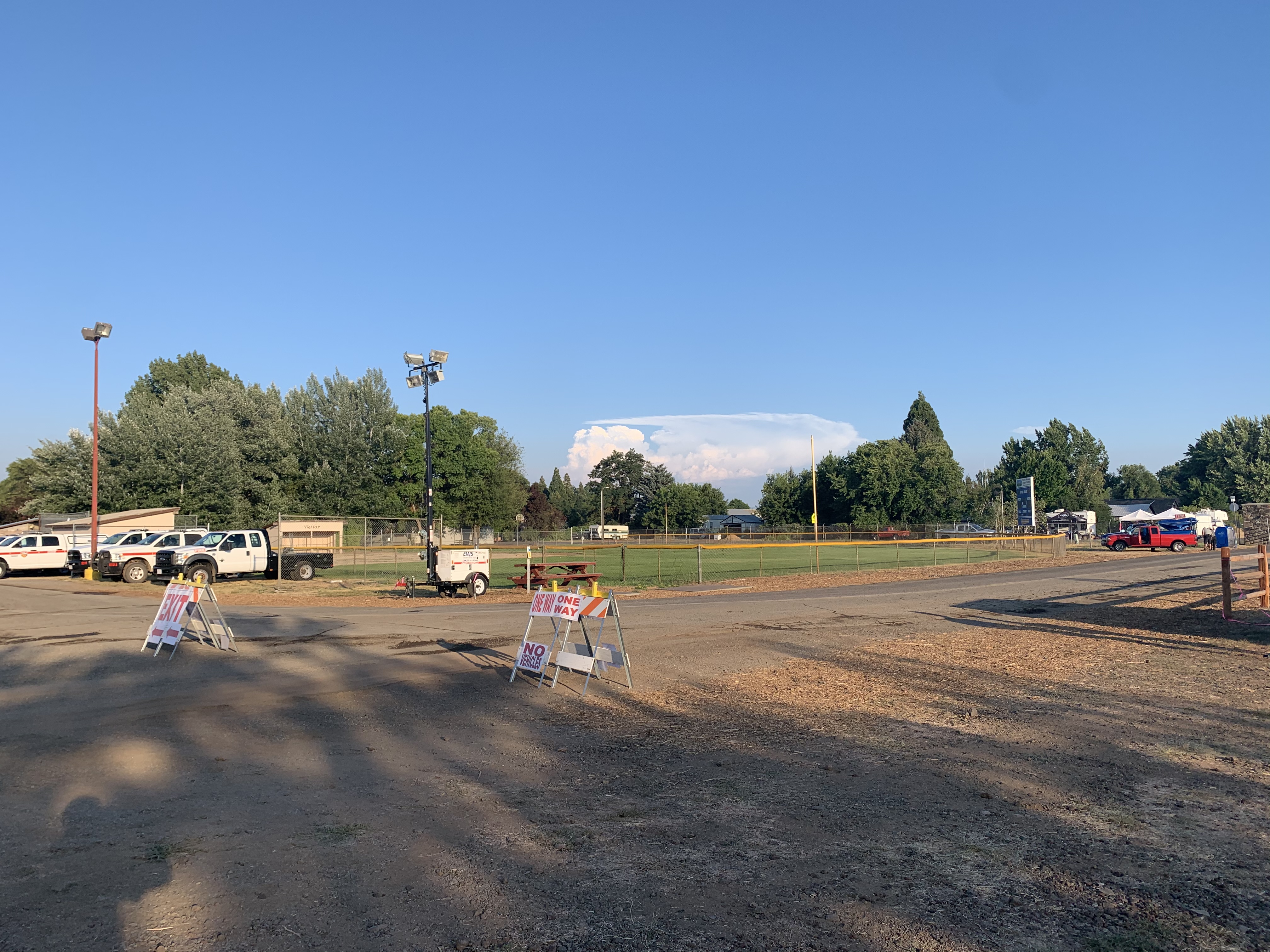
I’m pretty sure that’s taken from the Fairgrounds in McArthur (ICP).
1 Like
Correct, thank you.
2 Likes
ATAK Data Pakages up .
https://drive.google.com/drive/folders/1GuY-MVWnlo3vlM7FEiDn8Nd3H_AXMpKn?usp=sharing
3 Likes
Yea it was impressive what those thunder cells can do!
1 Like