From @norcalscan
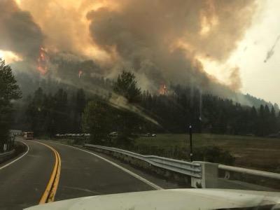
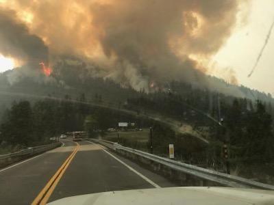
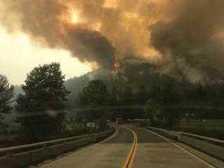
1830 Sunday: The L-1 fire on Morgan Mountain at 36 and 89 has decided to join the fray this afternoon. Morgan Group right at Branch 9/13 split, Div L/N split in far eastern Tehama County.
It is about to hit Hwy 36 just east of the summit. Multiple strike teams and resources setting up for structure protection in the 172/36 area, Childs Meadows etc. More engines setting up at the summit to make a stand. Lots of T1 rotor working out of an MRB. Shutting down power Hwy 36/172.
Winds are not in our favor for the communities up there. PGE Hwy36 WX right on the highway at the base of Morgan Mtn and Childs Meadows. NNW 9G17 with humidity dropping down to 15% from 33 at noon.
@pyrogeography
Some small photos sent to me this afternoon suggest this fire is going to be part of the Dixie soon, on the ground, not just on the IAP.


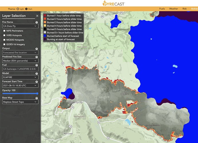
Experimental Pyregence.org Pyrecast spread model says it will be there in 4 days, but I am thinking probably 2 days given forecast winds. Not sure if people want this to be its own thread - maybe keep it that way until it merges with Dixie in next couple days?

