State ID: CA
3 letter designator: LNF
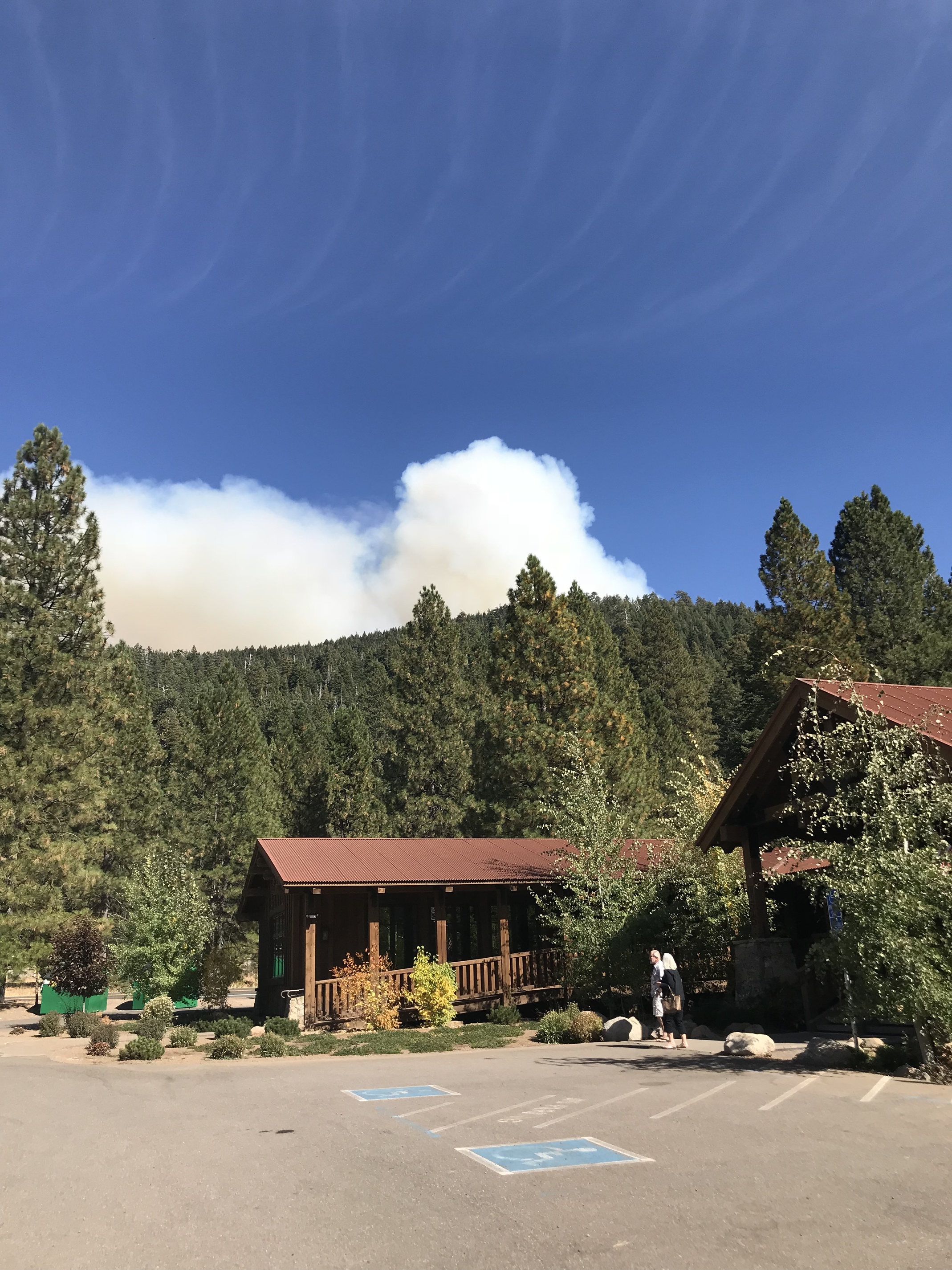
Fire name: Wilson
Location: Wilson Lakes Road at Wilson Lake, x Hwy36E east of Mineral
Reported acres: 12 (I think)
Rate of spread: MROS
Report on Conditions: Potential for 20 if it makes it to the top of the ridge. 2 SEATS , T93, T03, Copter 510, C512 and C202.
Structures Threatened: Feather River Rod and Gun Club - USFS LE requested for notifications.
I have LNF Fire, AG and Air FM on the http://norcalscan.live scanner. This will be my only post unless this gets significantly beyond their expectations.
Hoping they can nip it in the bud. Thank you for all your hard work!! You folks have done a terrific job at keeping the fires in our area from gaining any ground. Stay Safe!!!
This thing is putting up a massive column seen from the valley. Spotting well ahead of it. Heading in a north and east direction. Appears to be just west of Wilson Lake along the 29N18 road and Rice Creek. Looking for any hunters/parties along the entire 29N18 road loop and upper Rice Creek area. Also evacuating the Rod and Gun Club. Live scanner is on LNF Incident mode.
1715: 250 acres, left flank Div A (nw side I think) “moderately contained”, right flank (easterly side) Div Z wide open. Still no divert on VLAT, LAT and an S2.