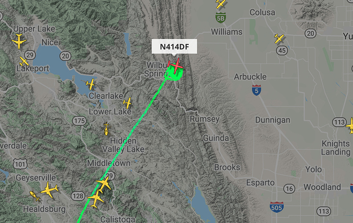
State ID: CA
3 letter designator: LNU
Fire name: HILL
Location:SR 20 at SR 16 Yolo
Reported acres: 5 potential for 100
Rate of spread: MROS
Report on Conditions: Roadside, several locations
Structure threat:
Resources: 6 air tankers and type 1 helitanker
Hazards:
Weather:
Radio channels: LNU East VFIRE 22
Scanner link:
Webcam link: http://www.alertwildfire.org/northcoast/index.html?camera=Axis-Sites2&v=81e003f
Agency Website:
1 Like
1 hour time lapse, small column.
http://www.alertwildfire.org/northcoast/index.html?camera=Axis-BerryessaEast&v=81e003f
UPDATE:
Best cam is Buckingham Peak 1
http://www.alertwildfire.org/northcoast/index.html?camera=Axis-BuckinghamPeak1&v=81e003f
1 Like
Radio:
per IC 40 acres
138 acres, 75% containment.
3 Likes
