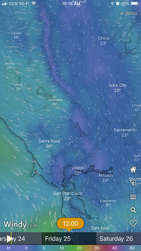
This is a link I like to wind info.
If air ops aren’t on IA freqs today, look for them here.
Air Tactics 166.6125
Air Ground 151.3325 192.8 tac24
Helco Rotor 123.025
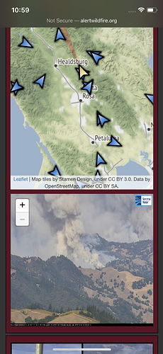
Looking at the cameras, there appears to have been a wind shift, fire now running hard to the northeast
Winds are still out of the north north east. Pushing it down to the valley floor and south towards mt st helena
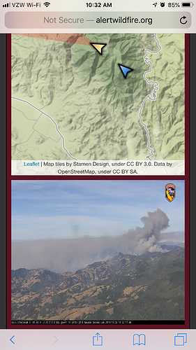
Camera looking north, smoke going left
Seeing more diurnal pushes today towards upslope up Canyon runs with winds showing less of a northeast push through the afternoon.
It’s turning. Column is switching.
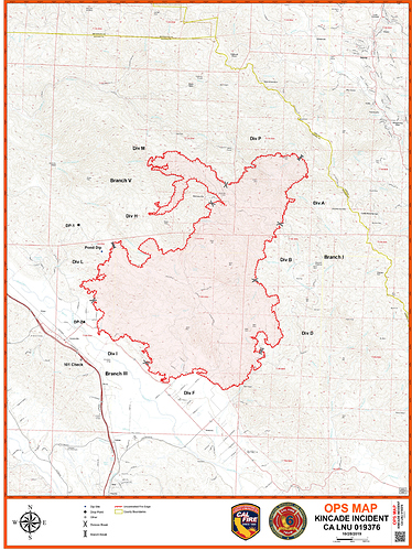
Latest update from Cal Fire is 16,000 acres w/ 5% containment. 49 structures destroyed.
ROSS Reports shows 5 Alpha Strike Teams pending and 23 Type 3 Strike Teams pending for this incident. Heard they may be pushing out OES resources tonight.
Monterey County local govt type 1 leaving at 22:00
Monterey County dispatch just punched out Type 1 Striketeam OES2803 (Salinas City, Monterey Regional, and Monterey City) at 2100 hours.
Yes but leaving at 22:00 per the dispatch
San Mateo County sending OES 376, OES 402, OES 403 and OES 405. Not sure who will balance out the 5th spot.
Good interactive map resource via County of Sonoma for road closures and various other information for the public: https://sonomacounty.maps.arcgis.com/apps/webappviewer/index.html?id=2cb4401e1fc0494dbf9d9e22aa794617
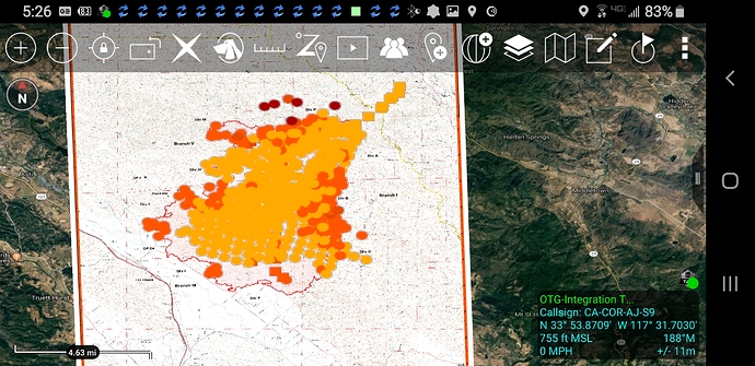
Per CALFIRE as of Fri 10/25 0638hrs still 16,000 acres @ 5% Containment. I would expect this to change by the end of todays op period to much more favorable numbers considering the change in weather and number of resources assigned. Well, expect for more accurate mapping on acreage!  Corrected: 21,900 acres as of 0717hrs
Fire is 21,900 acres and 5% contained per CalFire 30 minutes ago
XSA is sending Immediate need T3 to the Kincade. 4152C
STEN- SCR
STEN (T) CSM
E316, E318 SCR
E371, E371 CSM
E363, SAC
