For a total of70 engines?
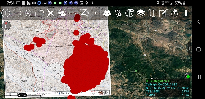
30,000 acres 10% contained per AM update
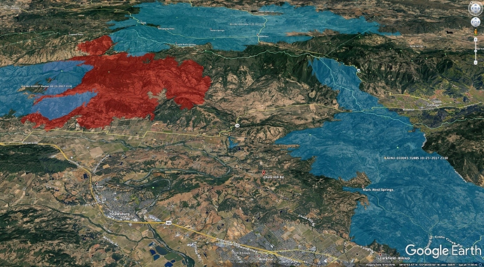
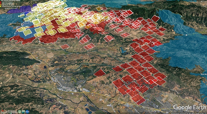
Here is a map showing other recent fires in the Kincade Fire area. The red polygon is last night’s IR, taken around 0130 on 10/27/2019, and no longer accurate. The blue polygon on the left is the 2017 Pocket Fire, the 2017 Tubbs Fire is on the right, and 2015 Valley Fire across the top.
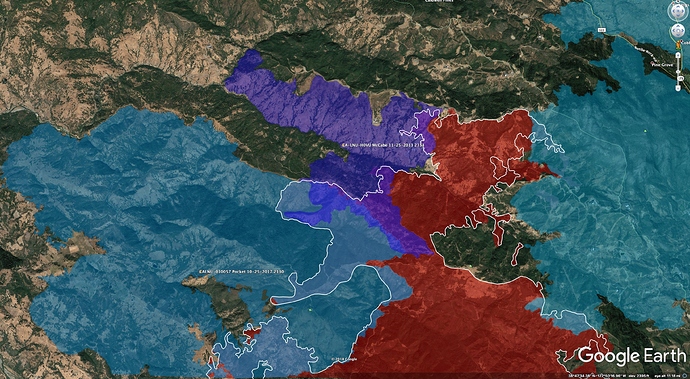
The North end doesn’t look like it has spread very far into the 2013 McCabe footprint, shown here in purple. The white line is the IR perimeter from 10/25/2019 at about 2300 hrs.
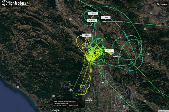
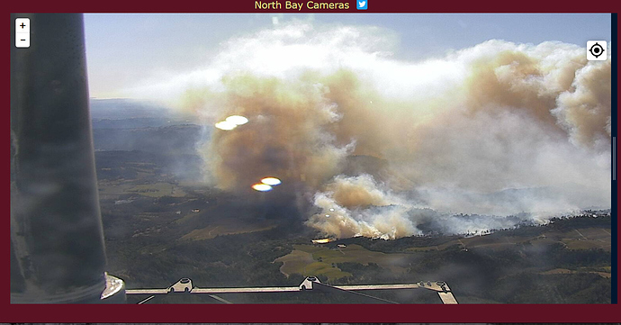
AA releasing aircraft, unable to work the fire with fixed wing due to severe turbulence.
No FW this morning.
Ground crews … LCES 
Sounds like they found some good air for a couple of tankers, including 944.
I’ve got confirmation from a county supervisor - Calistoga is going to be evacuated.
Fire has progressed to Limerick Lane between Healdsburg and Windsor. AA ordering 1 VLAT, 1 type 1 Air Tanker, and 2 scoopers.
<10 ac start, with poor ground access, near Covelo drew some AA this morning. They’ve been released. Info at Potter Valley/Redwood Valley, Mendocino Fire &Traffic Alerts/Resources. Its a public FB resource.
Calistoga mandatory evac confirmed ordered by AA a few minutes ago
Fire impacting Foothill Regional Park, engine’s engaged in structure protection.
We finally got evacuation warnings for Calistoga.
Fire is creeping on backside of Fitch Mountain (mountain in Healdsburg)
It’s also in Foothill Regional Park in Windsor
Task Force 2142 from Marin responding immediate need.
Chief 61 (NOV)
Battalion 53 (SNR)
Engine 66 (NOV)
Engine 12 (TIB)
Engine 17 (KNT)
Engine 51 (SNR)
Engine 19 (RVY)
Engine 861 (STB)
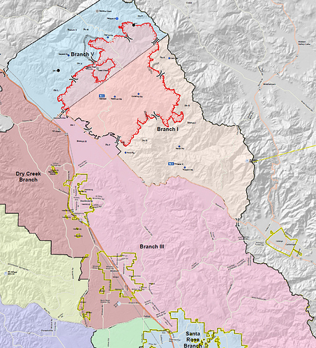
Sarah: Holy cow those places are all far beyond the fire’s footprint from last night’s branch map i looked at early this morning. I imagine that map is quite outdated now after last night/this morning’s winds.
Live map. It updates every 4-6 hours.
No problem! It has surely changed. I like these footprint maps since I use a few different “live” trackers. But, they aren’t really being updated frequently enough compared to how the fire is growing. I appreciate you sharing them when you do.
