John Kincade Road, north of Geyserville, structure fire into the vegetation. Sounds like high winds are making containment difficult, visible on Alert cameras
New start near the Geysers in the area of Burned Mountain Rd and Kincade Rd. Units still enroute, no size up yet.
4 Likes

PG&E RAWS At pine flat showing winds 54G75, starting evacuations now
4 Likes
B1412 advising dispatch to “start moving resources into the county” multiple starts reported in different areas. IC stating critical rate of spread for this fire.
4 Likes
Live scanner feed…
2 Likes
IC ordering 8 additional dozers
2 Likes
Multiple cameras on this. Take your pick.
Barham
Geyser
Lake Berryessa
Mt Vaca 8
Osborne
Pine Mt
Pole Mt
St Helena N
1 Like
Over 100 acres, DROS, moving Northwesterly, 60+ sustained winds, erratic fire behavior.
IC ordered 12 immediate need ST
1 Like
100+ acres. Dangerous ROS.
200 acres dangerous rate of spread
1 Like
Evacuations for Cloverdale Geysers Rd in its entirety
1 Like
Well over 300 acres per AA w/ long range spotting
Night airtac saying 300 acres, dangerous rate of spread
Also Healdsburg Geyser Rd
Pine Flat Rd
All down to Hwy 128
1 Like
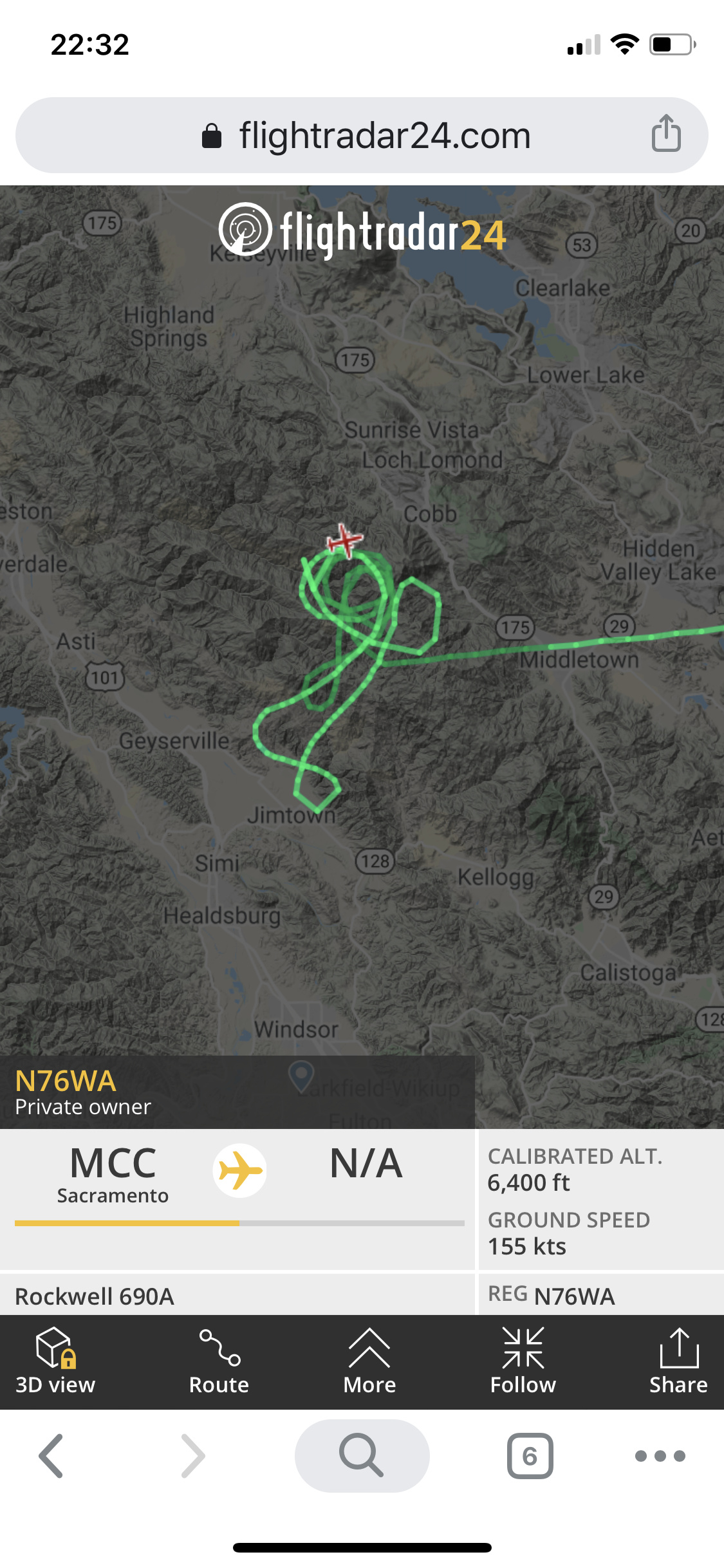
Which AA is it? USFS?
CALFIRE has a night AA on contract
2 Likes
“AA6WA” CALFIRE CWN
3 Likes
Hawkeye Raws showing wind 15G34 RH9%
1 Like