11 posts were merged into an existing topic: LNU Complex 2020 North Zone
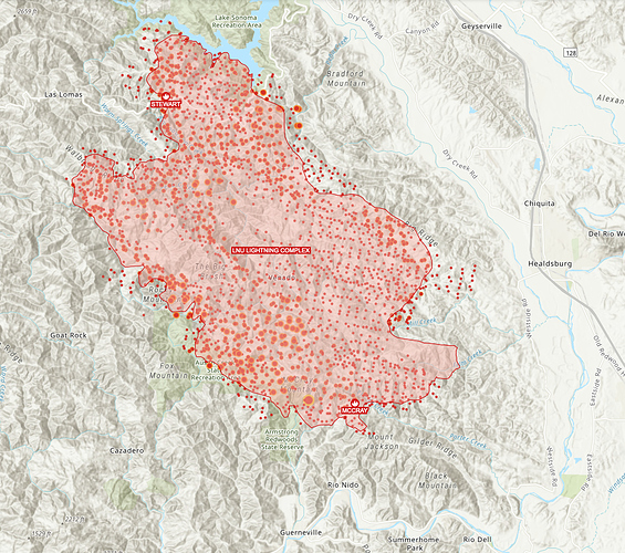
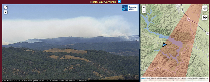
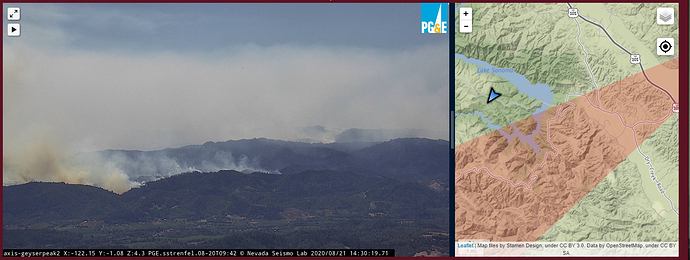
I think this is part of CA-LNU-Lightning, west zone. I’ve heard the fire called many things. The fire appears to have bumped Lake Sonoma. That is about 8 miles as the crow flies from Austin Creek.
Friends in Guerneville and Forestville are being told to evacuate.
Please forgive me if this is in the wrong thread. I didn’t see a west zone thread.
Are these new evacuations ? Any idea what zone?
I don’t know if these are new.
The evacuation map is here: https://sonomacounty.maps.arcgis.com/apps/webappviewer/index.html?id=69a0e54e9e2b48c086d122027b21c961
Looks like 1D4 is Guerneville and 4B1 is Forestville, but there are many zones affected.
Just FYI this scanner seems to have all the incident freqs programmed for the West Operational area
CF still has the summary of the Evacuation & Road closures in their public facing Incident Update, posted 2x daily. It also contains links to the counties specific Emergency Services websites. www.nixle.com is another excellent resource for updates that can be subscribed to, for free, which will provide more immediate updates for a specific area or city. The CalFire Lightning Complex Incident can be found here: Cal Fire LNU Lightning Complex Incident Update
Not sure if the question has been asked. I have made a ArcGIS map of the northern California Fires. I am using the a feature layer from CA Governor’s Office of Emergency Services. They in turn are using point data from IRWIN and perimeter data from NIFC. This layer is updated every 15 minutes.
When I look at the point gis data from IRWIN for this complex they have these 2 field values
Daily Acres 351,817.00
Calculated Acres 343,366.99
when I look at the CALFIRE website they show
350,030 total acres (which looks close to Daily Acres)
CZU
For the CZU complex CALFIRE webpage has
78000 total acres
and the ArcGIS layer has
Daily Acres 78,684.00
Calculated Acres 83,055.00
This time the calculated acres is greater than the Daily Acres. But again the Daily Acres fits more in line with the CALFIRE website.
Trying to get better data quality and not sure what is more accurate??
What is the definitions of these 2 fields?
To throw another wrench, when I click on the NIFC perimeter layer for CZU it shows
Calculated Acres 83,063.96 which is a bit more than what CALFIRE is showing on their website (at this time of posting)
Thanks all
The mapping in not that precise. For a 78,000 acre 780 acres is 1%. The precision can’t possibly be plus or minus 1%. It depends when some one draw a line on an imperfectly geo-rectified IR image for example. Or how carefully some pilot flying a Huey cares to make his turns.
Lots of room for error.
Some mappers that I know reduce their number by 5% until the last map so the team doesn’t have the embarrassment of subtracting acres. Acreage reduction is considered bad. Then in the last map after having developed a guessimate for a number of days, ya give her yer best SWAG. 


