State ID:CA
3 letter designator:LNU
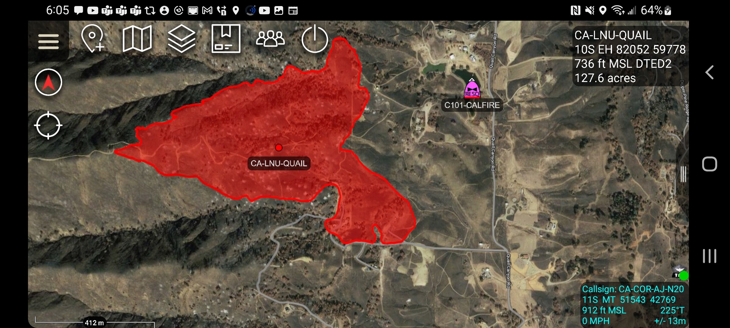
Fire name:Quail
Location:Quail Canyon Road / Pleasants Valley Road
Reported acres: 10-15
Rate of spread:MROS
Report on Conditions:
Structure threat:
Resources:
Hazards:
Weather:
Radio channels:LNU East, VFIRE22
Scanner link:Napa County Fire and CAL FIRE LNU East
Webcam link:ALERT Wildfire
Agency Website:
3 Likes
Copter 104 requesting fixed wing. AA and 4 tankers ordered.
Per B1419, 25 acres potential for 100+ acres, requesting an additional 5 type 3 engines
4 Likes
C-5 off MCC, requesting 2 additional copters any type, 2 additional S-2’s, a type 1 tanker out of MCC and the training platform out of Columbia.
B1419 now assuming Quail IC, 70 acres.
3 Likes
AlertWildfire Tile Cams: Tile Display | ALERT Wildfire
3 Likes
good updates. thanks
1 Like
AA-505 T02 83 88 94 100 C104 910
Edit: looks like 91 is spooling up at MCC as well
3 Likes
NEU Charlie ST filled and dozer request filled
2 Likes
IC with 110 acres, maybe able to hold with a few more tankers
3 Likes
What tone on LNU East?
And any update on tac freq?
2 Likes
Would be LNU east tone 3
Most likely VFire 22.
3 Likes
CMD: LNU East T3
VFIRE22 was the only Tac, I have heard but have been away for part of the time
4 Likes
Also heard Tac 6 and another Tac assigned
2 Likes
Thanks guys. Love when you get sent oou without intel.
6 Likes
Saw the NEU Dozer and Charlie ST west bound I80 at Sierra Collage about 15 minutes ago
8 Likes
KCRA is live streaming

4 Likes
4 Likes
#QuailFire near Quail Canyon Rd and Pleasents Valley Rd, southwest of Winters in Solano County is 135 acres and 90% contained. @CALFIRELNU
https://fire.ca.gov/incidents/2022/5/21/quail-fire/ https://twitter.com/CAL_FIRE/status/1528749986745159680/photo/1
4 Likes