Per AA 140 10 acres grass and brush RROS NE ish of the Pickett incudent
3 Likes
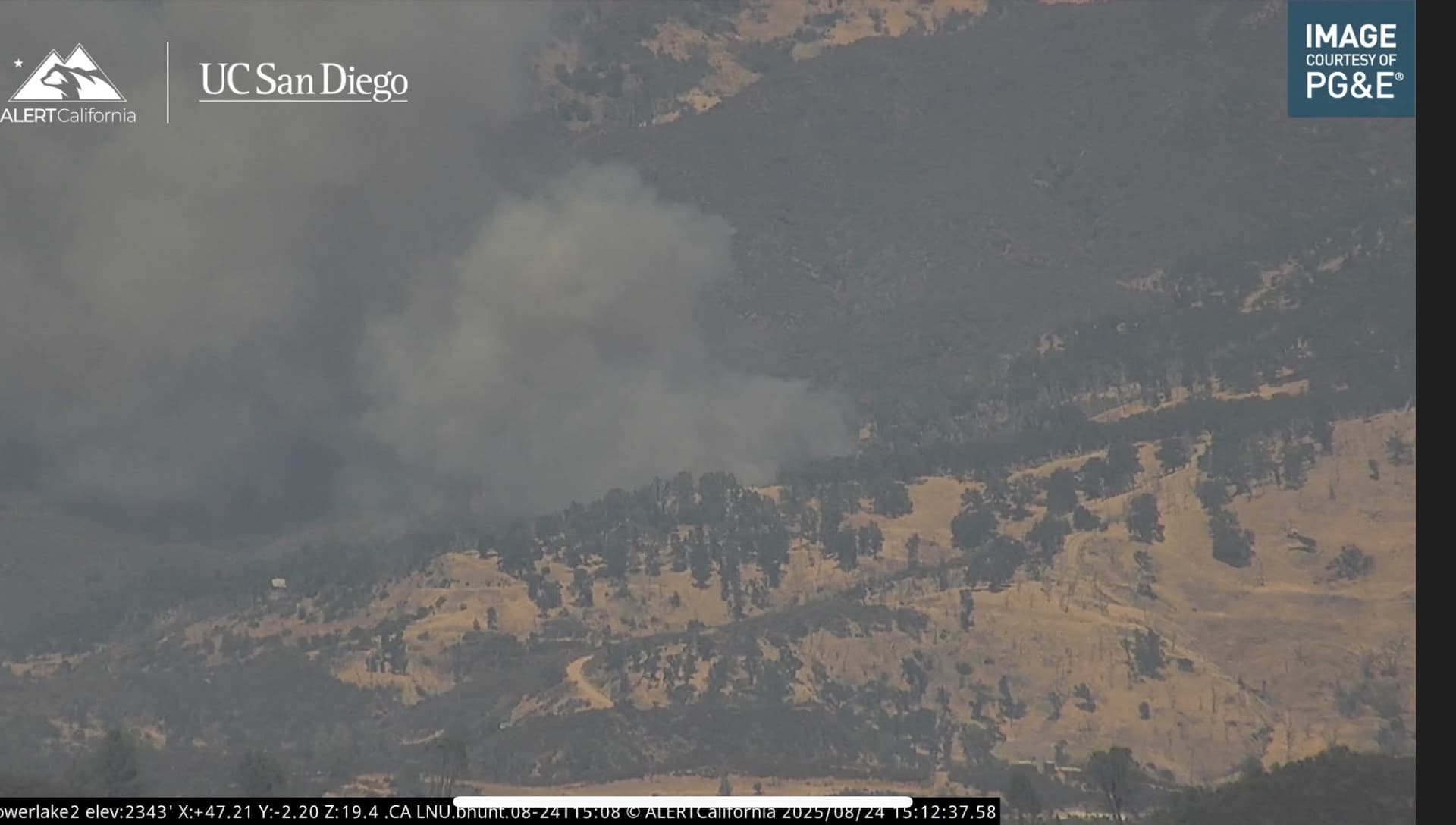
Cam link: ALERTWest - Lower Lake 2
6 Likes
Revised to 25 Acres in brush DROS
3 Likes
The dozers have to track in they can’t cross the bridge to get to it
2 Likes
If the Alert maps are correct, the fire is NE of the Pickett fire.
2 Likes
AA ordered 3 more T1 copters.
Bridge not a factor per IC
3 Likes
Sorry I must’ve misheard it thanks for clarifying.
2 Likes
Pounding this thing from the air, tankers 85, 90, 91, 122, 181. Copters 612, 6PG, 5PJ,
4 Likes
IC Ordered 5 additional State engines, the “Colusa Task Force” and 2 WT’s
4 Likes
Quick recon of local Wx in Lower Lake reporting: Temp 97, 15% Rh, Wind SSE - Gust 11+.
Edit: Smoke from this fire was beginning to show on GOES W has since dissipated and no longer showing.. #goodsign
3 Likes
Fire looks slope driven, not in alignment, AA still states approx 25 acres, per AA it’s staying in check for now, lower lake 1 cam shows a bunch of drops across the head…
6 Likes
looks like Intel flew this 18 acres
5 Likes
Per IC 50% containment.
4 Likes