
State ID: CA
3 letter designator: LPF
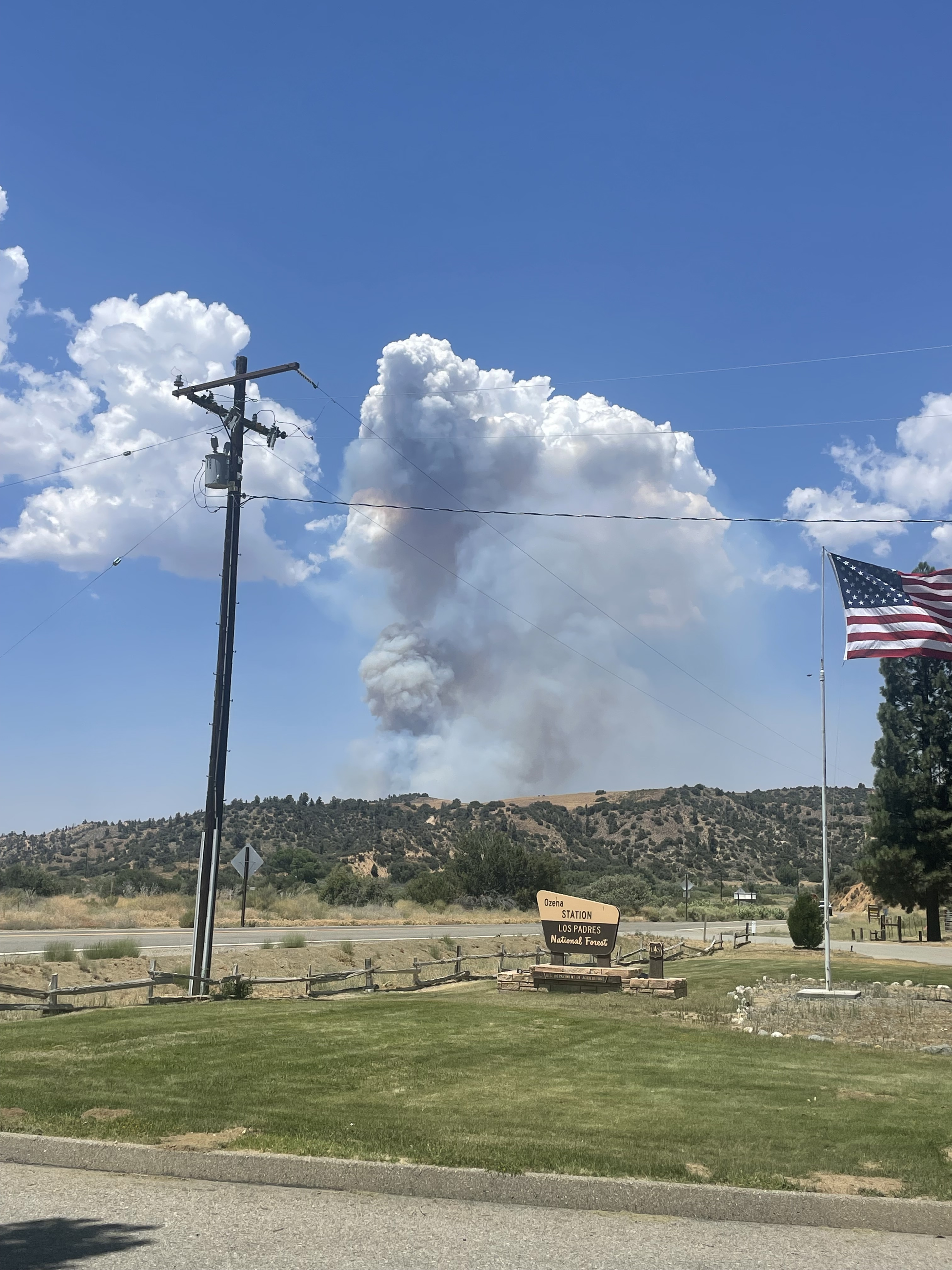
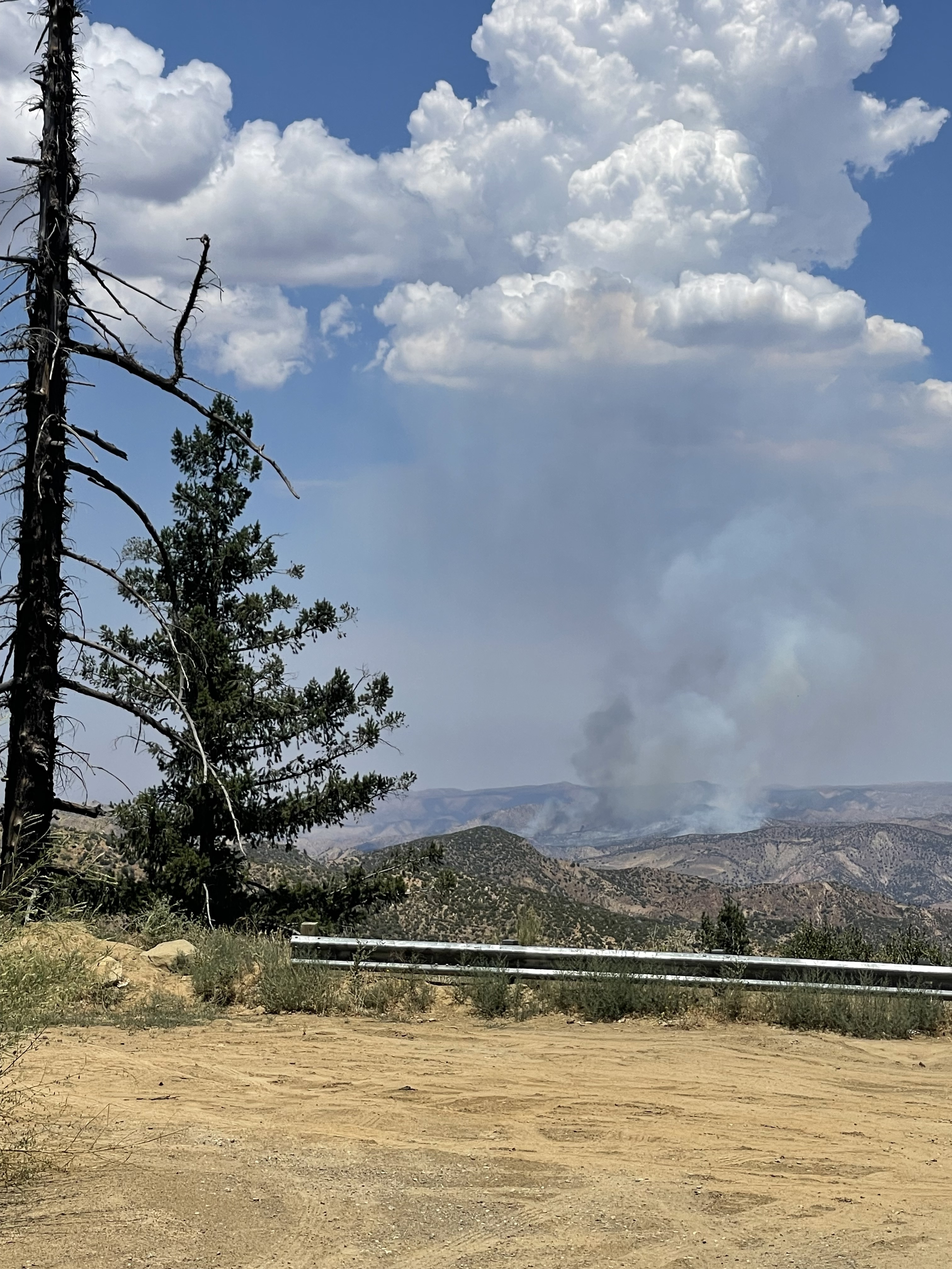
Fire name: Apache
Location: Highway 33 x Apache Canyon Road; Ventucopa, CA
Reported acres: 30
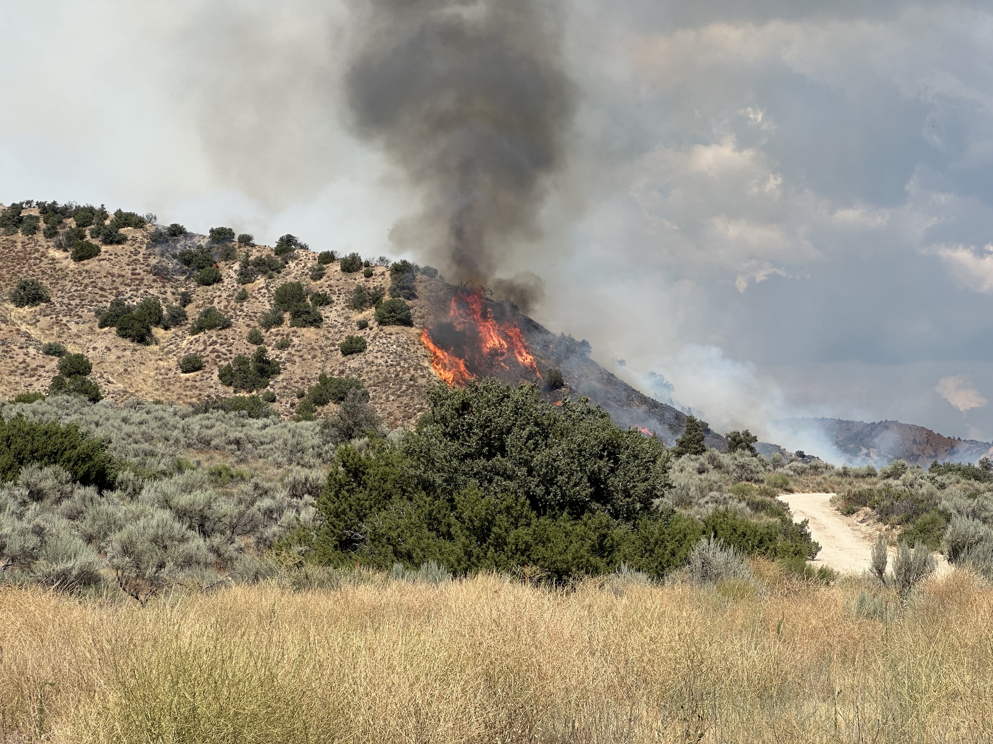
Rate of spread: rapid
Report on Conditions: fire burning uphill with a rapid rate of spread, LPF 2nd alarm.
Structure threat: not currently
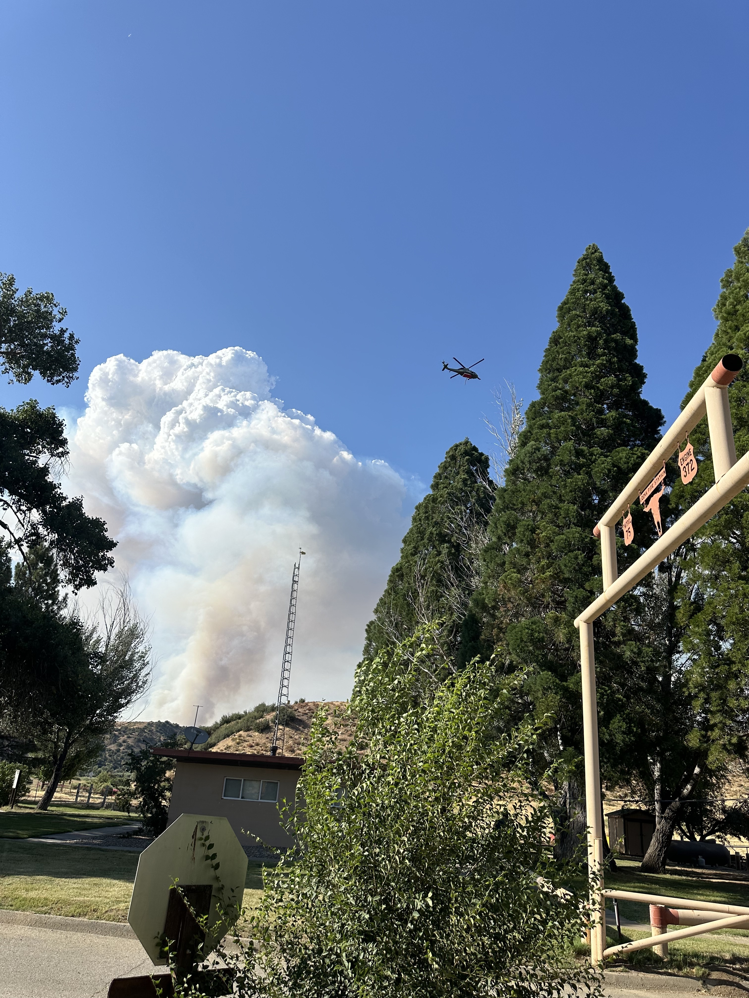
Resources: LPF: BC75LPF, E1313 CO, BC72LPF, E44 NJ, PAT75LPF Q, E372LPF, PAT73ALPF, E335LPF, VNC 1st alarm, AA07, LEAD55, MAFFS2, MAFFS4, MAFFS6, MAFFS8, T03, T76
Hazards:
Weather: SCE Maricopa Highway
OZENA RAWS
Radio channels:
Scanner link:
Webcam link: Mt. Abel 1
Pelato Peak West
Agency Website:
3 Likes
2nd Alarm punched out by LP
Part of the augment includes SBC E-327 and WT-27, and Vandenberg Crew 2.
Command - LPF Forest Net Tone 1
A/G - R5 A/G 41
2 Likes
INTEL24 overhead for a mapping mission.
2 Likes
Correct if wrong, but not in Lockwood Valley.
2 Likes
Correct. This is down closer to the 33
3 Likes
108 acres now
6 Likes
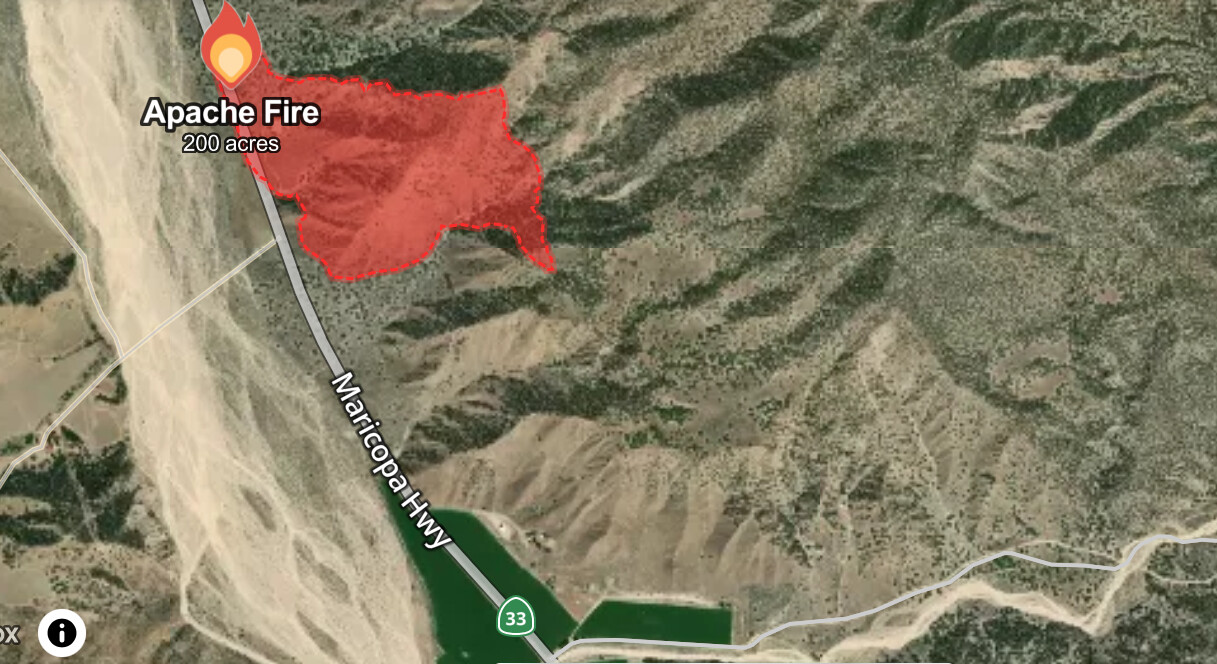
250+ acres. Apache Canyon is under an evacuation order.
4 Likes
Other out of county resources now responding. LA Co FD, Kern, Tulare and Cal Fire.
8 Likes
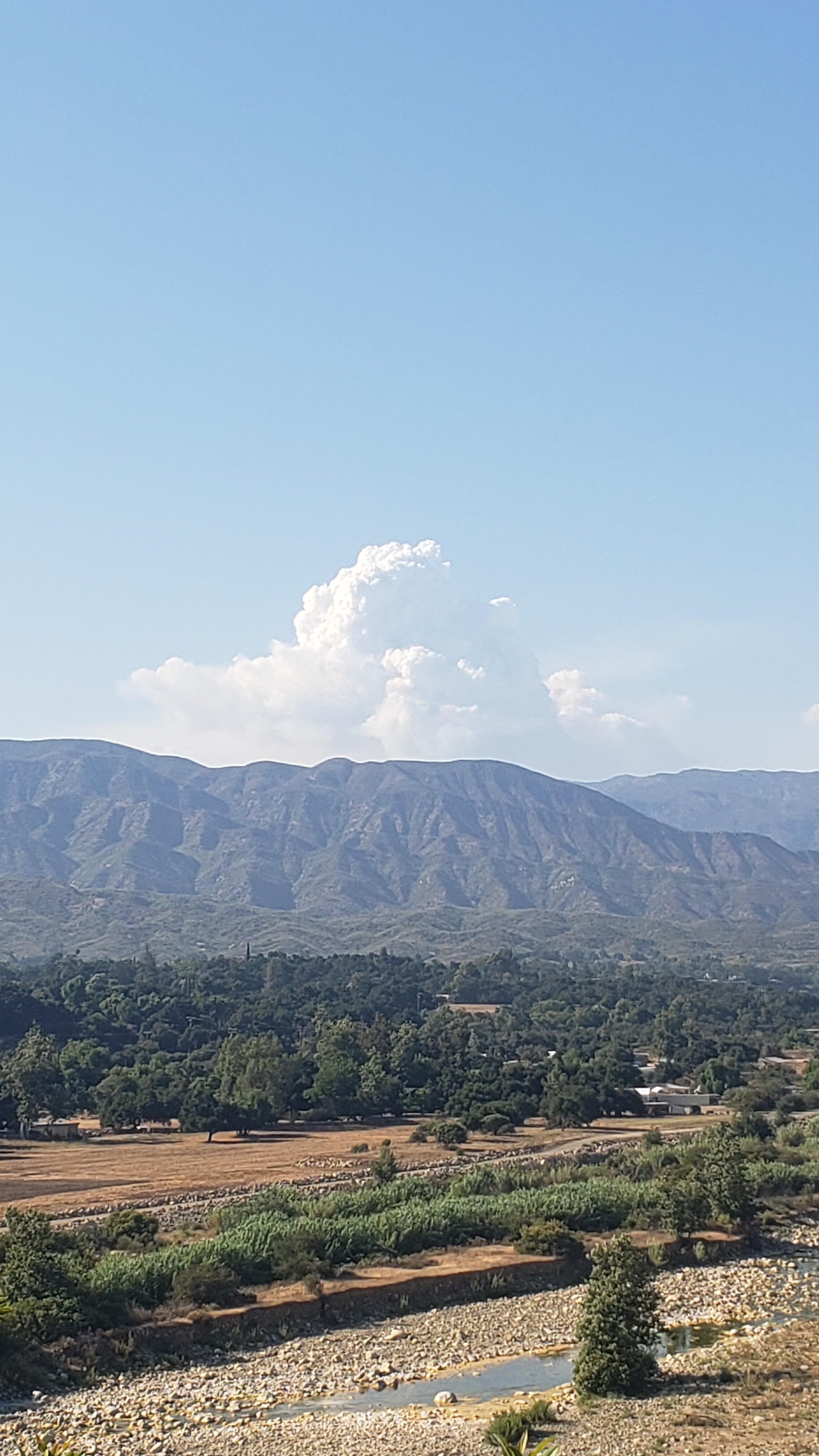
It looks as though it’s starting to make more of a westerly push and already has a bit of steam this morning.
3 Likes

800 acres 0% contained
5 Likes
885 acres and 0% contained. The fire has crossed Apache Canyon.
3 Likes
925 ac per AA shown on Vnc vcad
Lake Fire folks now supporting this as Apache Spike at Ozena USFS station.
5 Likes
1,498 acres per Watch Duty.
5 Likes
Evacuation Warnings have been issued for the following areas, per Ventura County Sheriff Office of Emergency Services:
- Residences on Corral Canyon
- Residences on Round Springs Canyon and Castle Canyon
3 Likes