
State ID:CA
3 letter designator:LPF
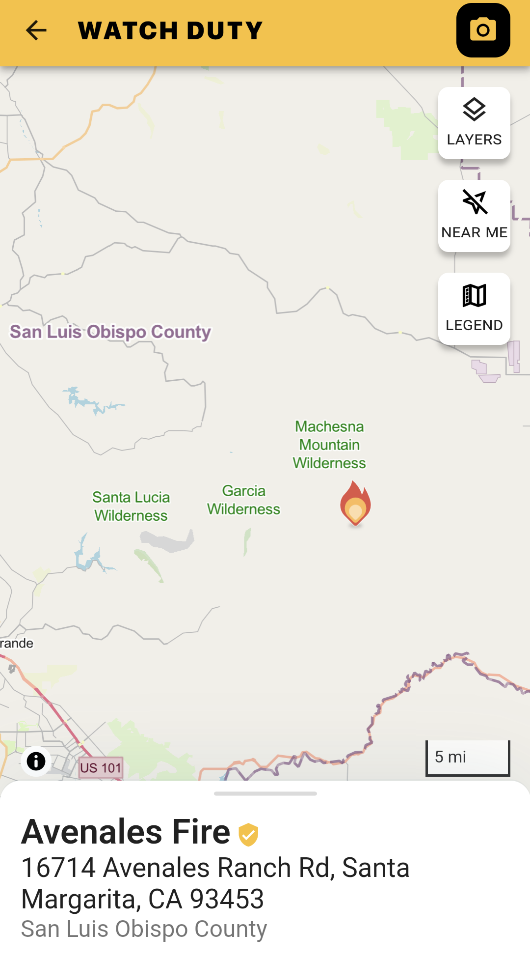
Fire name: Avenales
Location: San Luis Obispo Avenales Ranch Rd.
Reported acres: 2-50
Rate of spread:
Report on Conditions:
Structure threat:
Resources:
Hazards:
Weather:
Radio channels: LPF Tone5
Scanner link:
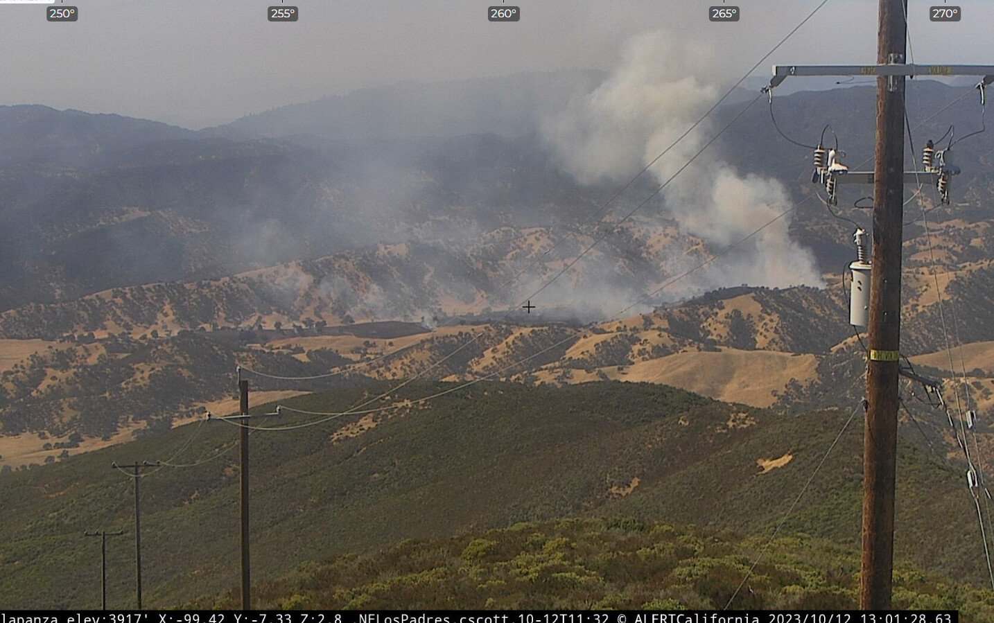
Webcam link: ALERTCalifornia - La Panza
Agency Website:
1 Like
130 Acres per Calfire radio traffic.
Can’t hear LPF anywhere on line.
1 Like

10/12/2023 VEGETATION FIRE #AvenalesFire 16714 Avenales Ranch Rd, Santa Margarita, San Luis Obispo County. https://app.watchduty.org/i/13691#allow-back [WATCHDUTY]
12:47pm Air attack requested an additional Type 1 tanker and VLAT.
12:40pm The fire is now 130 acres and is 0% contained, per radio traffic.
12:07pm The fire is at 50 acres and is 0% contained per fire mappers 2.0.
11:52am The fire is two acres, according to WildCAD.
11:46am Multiple aircraft are working the incident.
10:50am Smoke showing on the camera.
SCANNER: San Luis Obispo and Southern Monterey Counties CAL FIRE https://www.broadcastify.com/webPlayer/14671
FLIGHTRADAR24: https://www.flightradar24.com/35.21,-120.19/13
WEATHER: 63 DEGREES, 39% HUMIDITY, AND NE 10MPH WINDS

2 Likes
[U.S. Forest Service - Los Padres National Forest]
From there FB page
Forward progress has been stopped at 200 acres. Firefighters dealing with some hot corners and have eliminated the minor threat to six structures. Aircraft are beginning to return to base. Resources will remain on site overnight to begin mop up and remain through end of shift tomorrow
3 Likes
4:25pm FIRIS has mapped the fire at 259 acres.
4 Likes