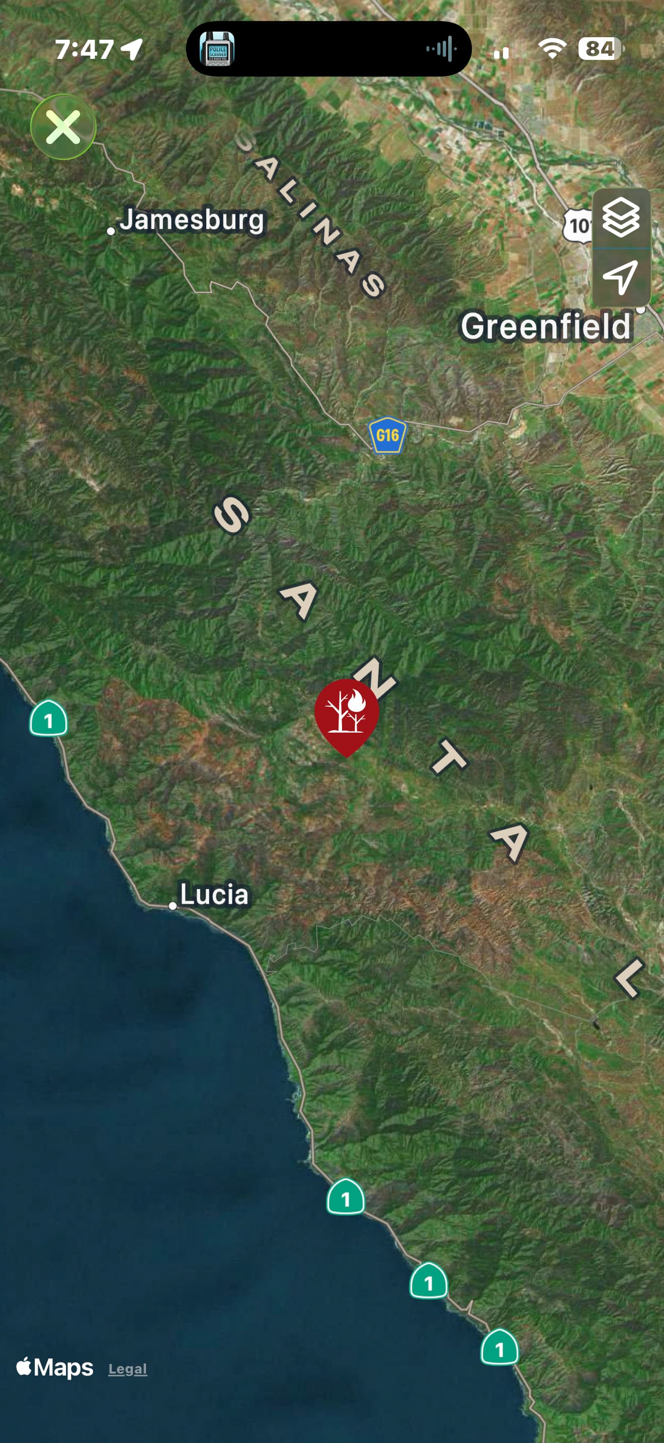
New start off of Indians Road and Milpitas Road. FHL 8805 on scene, reporting 3-5 acres, moderate ros.
This area is very hard to see via this camera angle, and the fire is low down in the canyon, river bottom.
New start off of Indians Road and Milpitas Road. FHL 8805 on scene, reporting 3-5 acres, moderate ros.
This area is very hard to see via this camera angle, and the fire is low down in the canyon, river bottom.
Command is LPF Forest Net Tone-8
Tactical is LPF Tac 3
LPF is calling it the DEL incident.
A/G 41
I was curious about this fire because I had it pop up on my tablet command and I couldn’t find anything
I believe it began as a BEU dispatch, then turned into an LP one, and is being run by a Liggett AC. It sounds like Tanker-80 was able to get one or two drops in there.
When i got the notification on tablet command I looked it up and it put it way out in the middle of the ocean by Africa  so I was definitely confused about it .
Correct, BEU took the call, first came in as a smoke check.
1 LPF engine, 3 calfire engines, FHL dozer,
1 FHL engine on scene.
AA calling forward progress stopped.
Hah!! A good example of ‘treat the patient, not the monitor.’
When a point lands off of the west coast of Africa below where the coast run east-west for a bit, it is because the coordinates have not been entered or were invalid.
That place is 0,0.
On the equator and the Greenwich meridian.
AA51 mapped at approx 3 acres
36.097, -121.440