Satellite showing emerging fire along Big Sur Coast. Hwy 1.
That’s the Southwest part of the river fire in BEU.
Not even close. There is a new fire on the coast.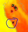
3 Likes
It’s now getting dispatch
What about the fire in Carmel?
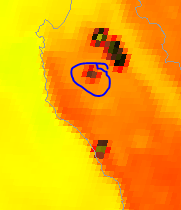
Carmel Fire is circled. River Fire is north and east of that. Big Sur fire is along the coast.
3 Likes
08/18/2020 20:04 LPF-2428
Dolan . 36 7.166 x 121 35.986
1 Like
ShortWave IR from GOES West. It matches up. 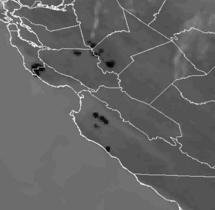
2 Likes
Is that down by Nacimiento Ferguson road?
100 acres on the ridge line.
1 Like
It’s north of Nacimiento Ferguson road. That is a nasty little piece of land.
1 Like
Not very good access up there.
Coast Ridge Road is about it. Of course, it’s burning in and toward areas that didn’t burn in either the Soberanes or the Chimney fires.
Remote sensing data 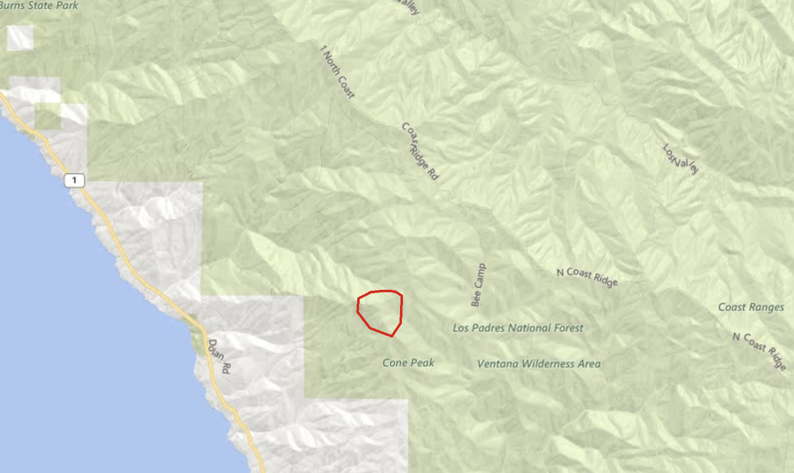
3 Likes
A ~lot~ of potential…
2 Likes
And not a fire worth answering the phone for. Been there way too many times
5 Likes
Marble/Cone 1977…yuck
2 Likes
Couldn’t see it on the satellite imagery I was looking at.
Suspect in custody. And units stated it will go extended and probably won’t engage till morning.
appropriate punishment would be to hand him a Pulaski and tell him to get to work…
15 Likes