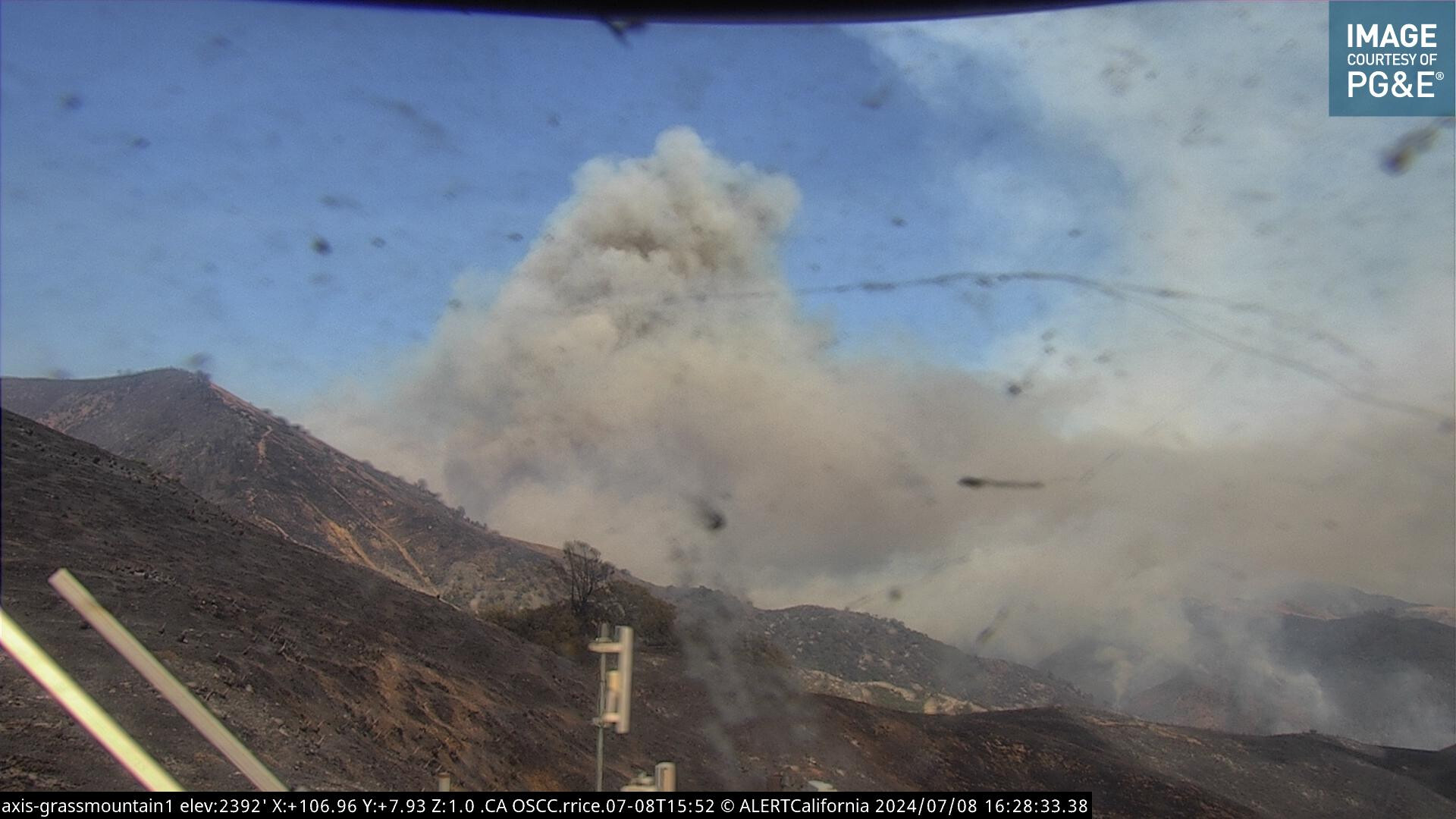
This is from the summit of Brinkerhoff Road. If the winds that feed the sundowners hit this area, it will be very dynamic…

Additionally, I heard Ventana talking earlier about the fire impacting the Davy Brown area and were backing out to Cachuma Saddle.
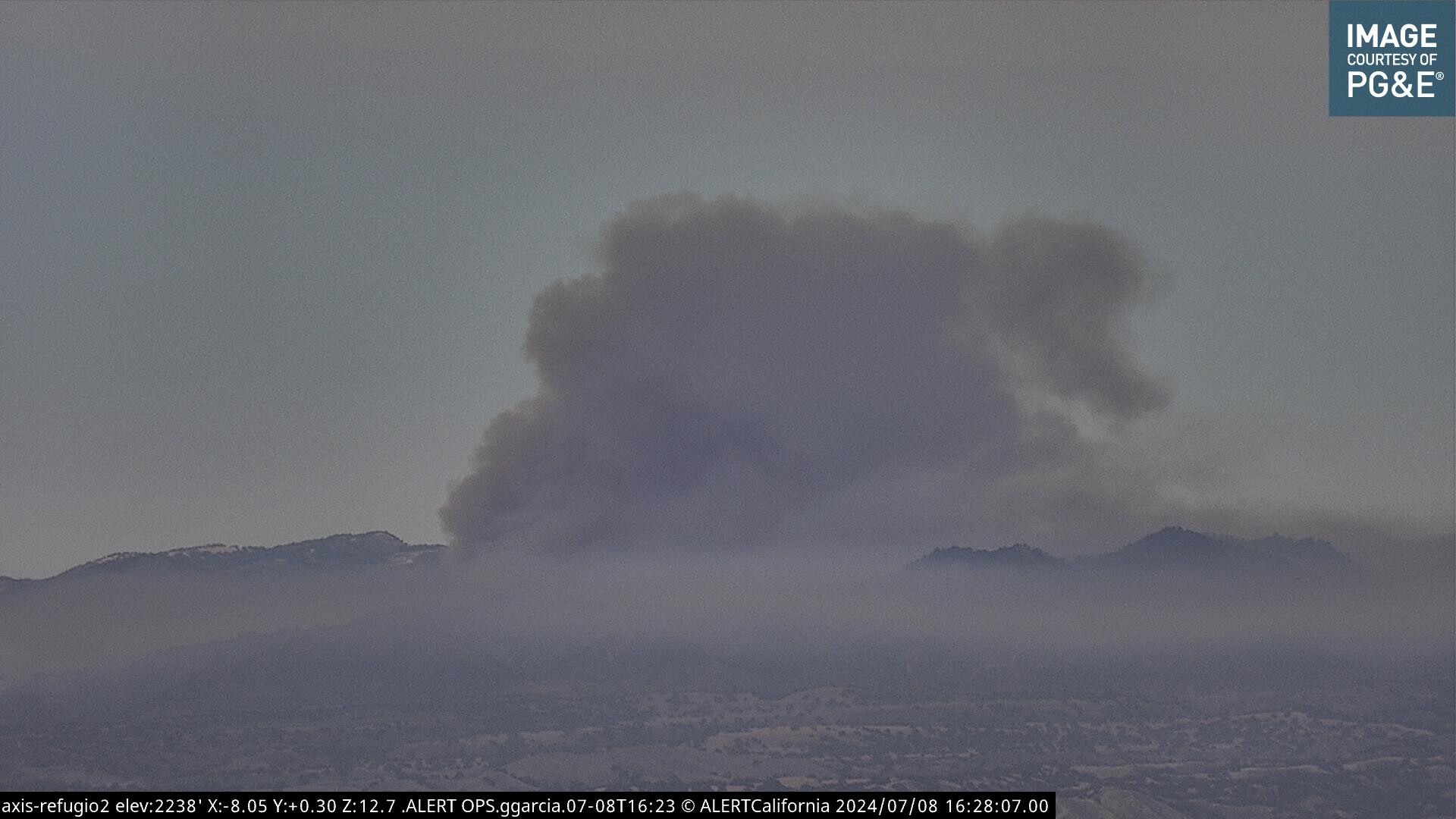
Off topic perhaps, but that is a powerful photograph.
Dang, then past that it’s off to hurricane deck and sierra madre I guess.
See you all at Ozena spike camp…. Again. Fired off Rancho Nuevo to Brubaker Canyon.

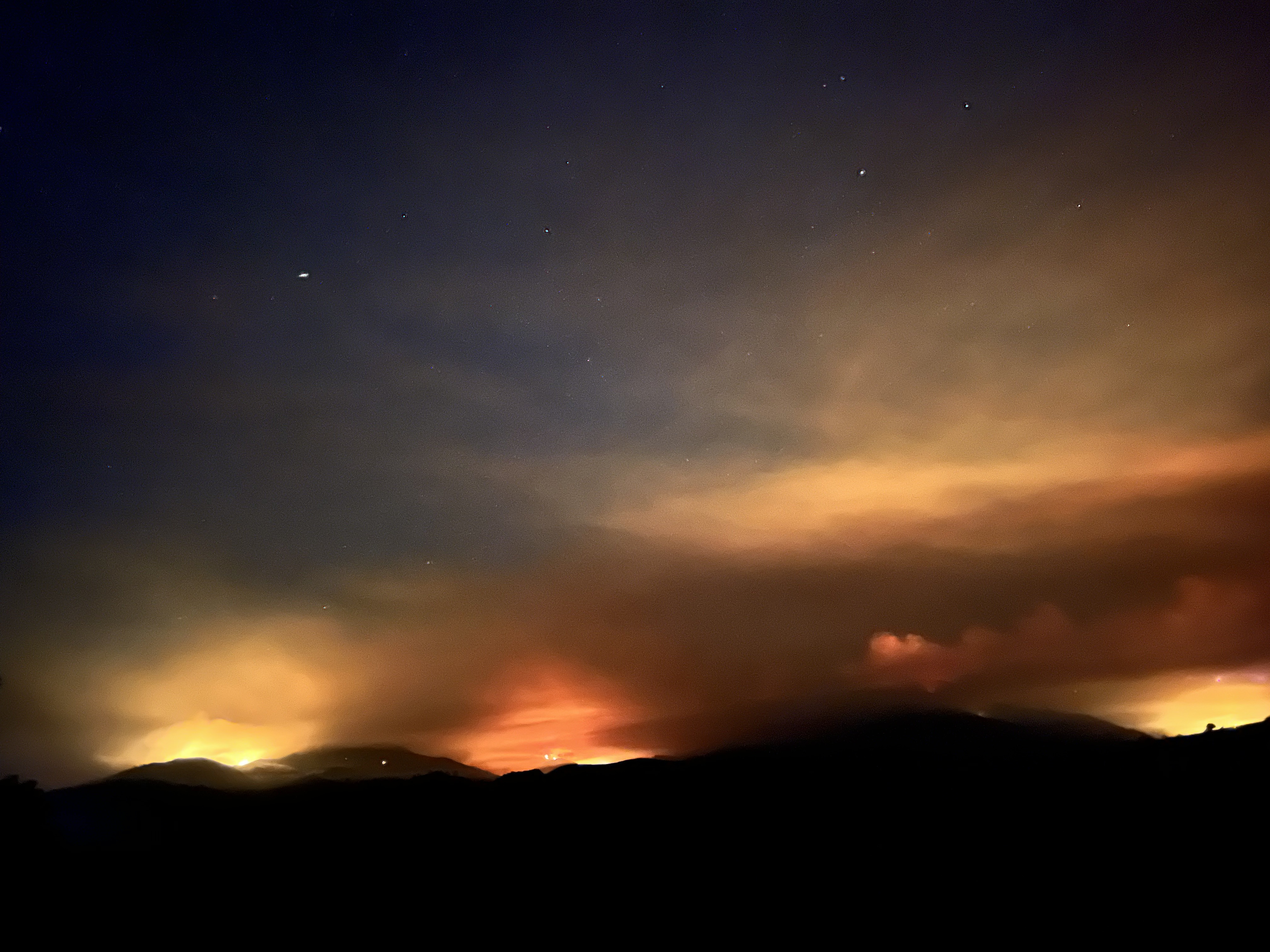
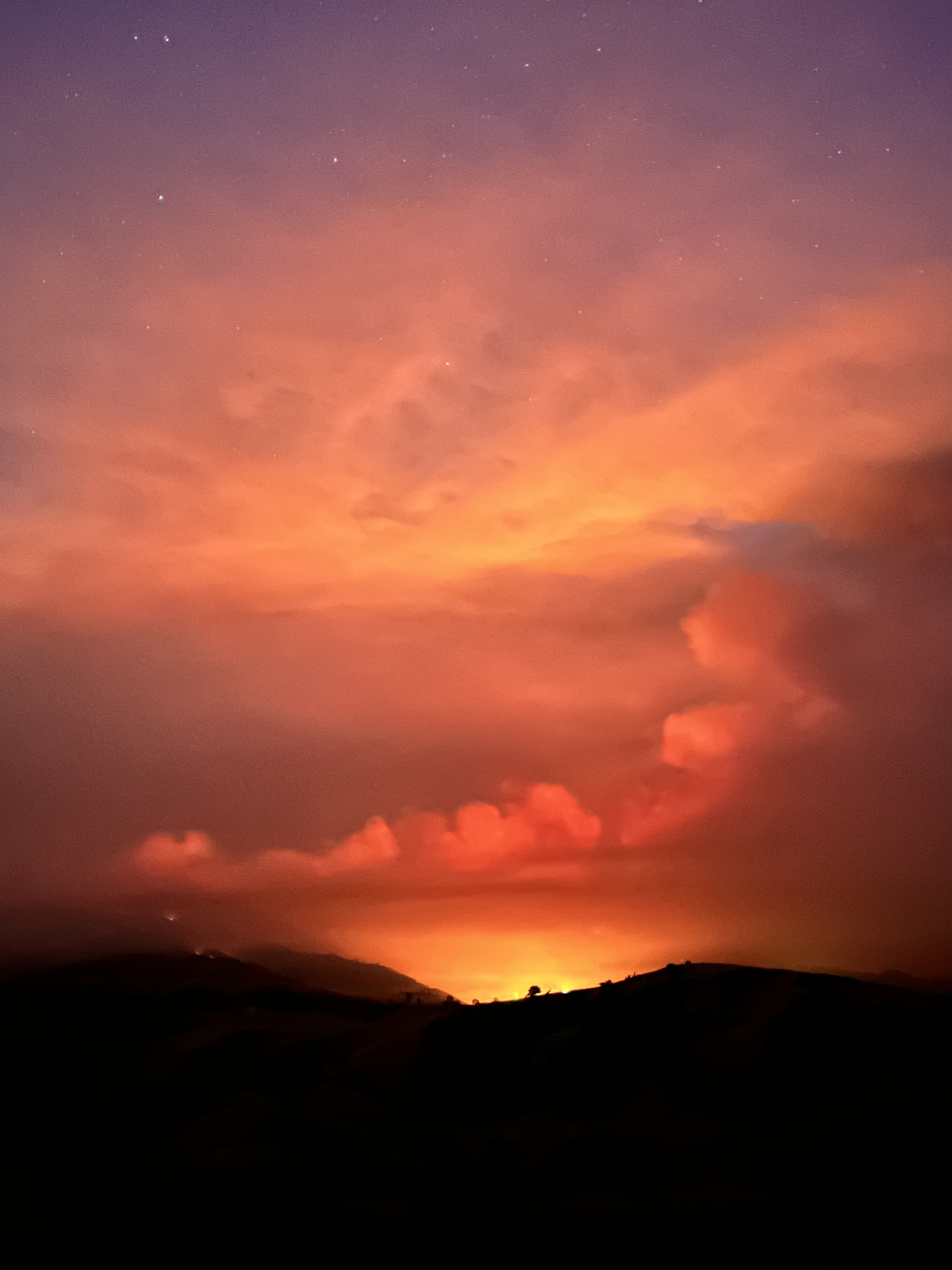
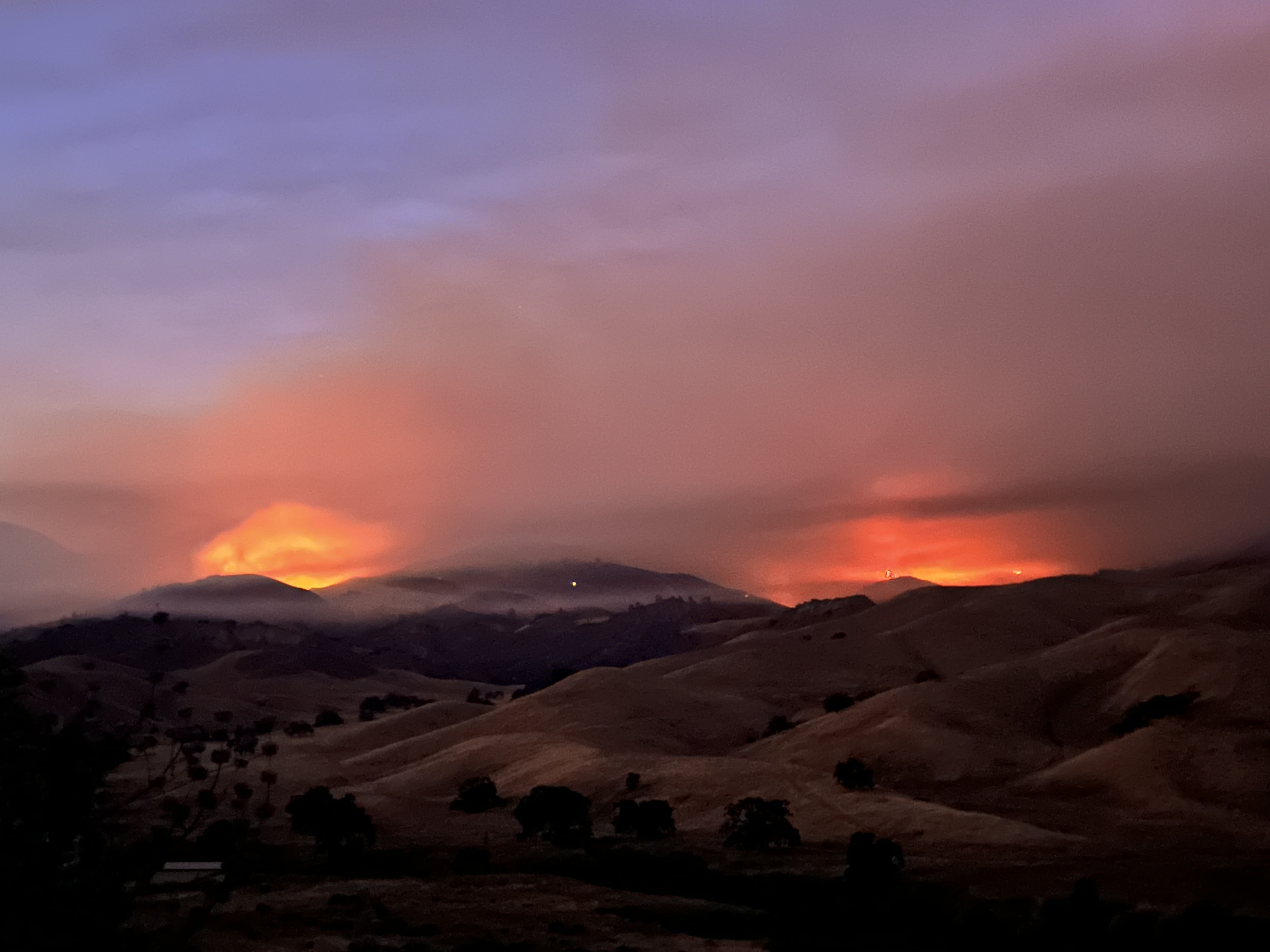
Thank you for putting in these GREAT photos!
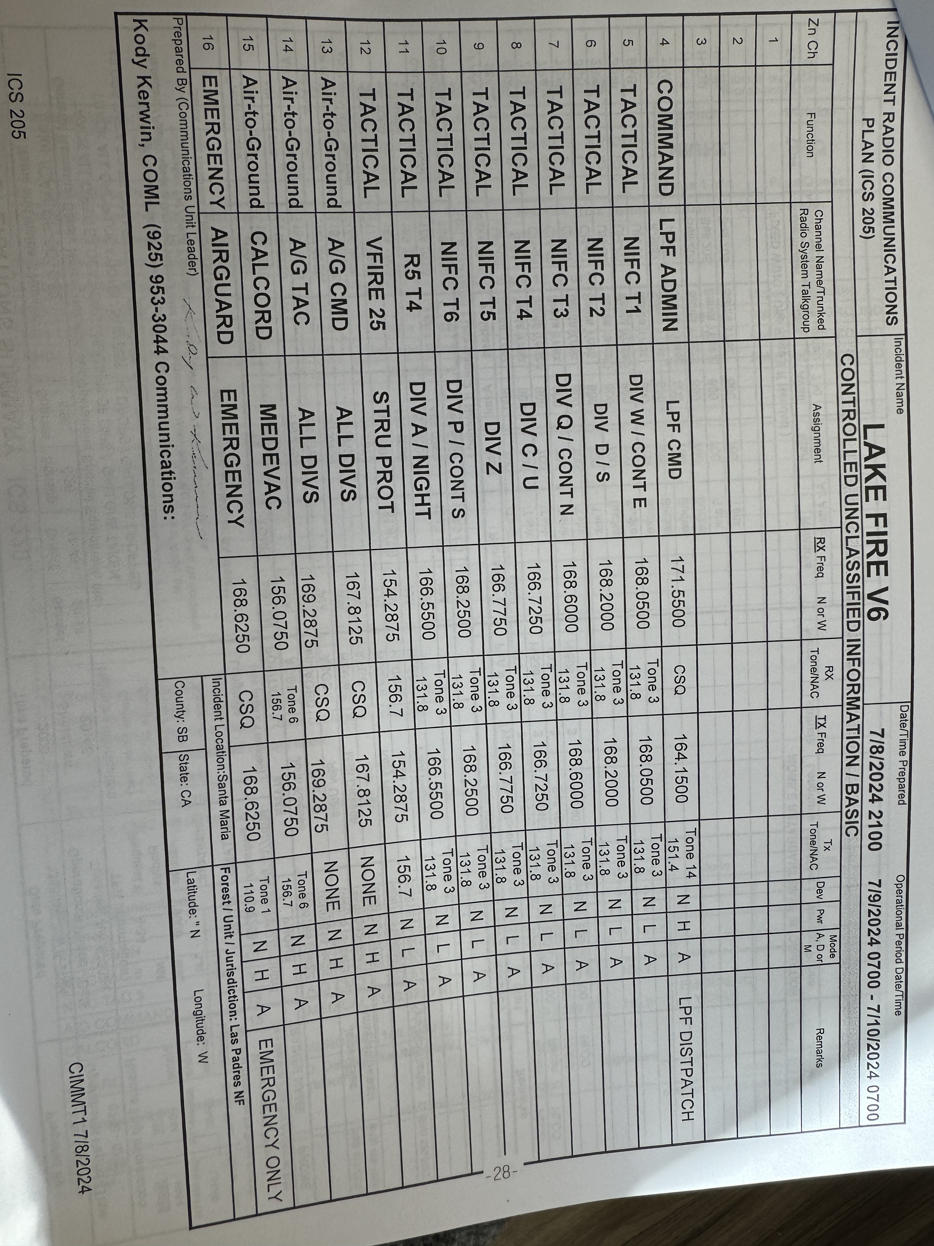
A post was merged into an existing topic: CA-LPF-Lake??
Thank you Mod7!
Thanks Mod7
Weather could create challenges today: FIRE WEATHER WATCH IN EFFECT FROM 9 AM PDT SATURDAY MORNING THROUGH 9 PM PDT SATURDAY EVENING FOR DRY THUNDERSTORMS FOR INTERIOR MOUNTAINS, FOOTHILLS, AND VALLEYS OF LOS ANGELES, VENTURA, SANTA BARBARA, AND SAN LUIS OBISPO COUNTIES… with high temps and 45-60 mph outflow winds possible. Gomberg at NWS LOX helped in the forecast. He has been the go-to guy for fire service assistance with fire weather forecasting in Region 1.
https://forecast.weather.gov/wwamap/wwatxtget.php?cwa=LOX&wwa=fire%20weather%20watch
Watch upgraded to Warning:
https://forecast.weather.gov/wwamap/wwatxtget.php?cwa=LOX&wwa=red%20flag%20warning
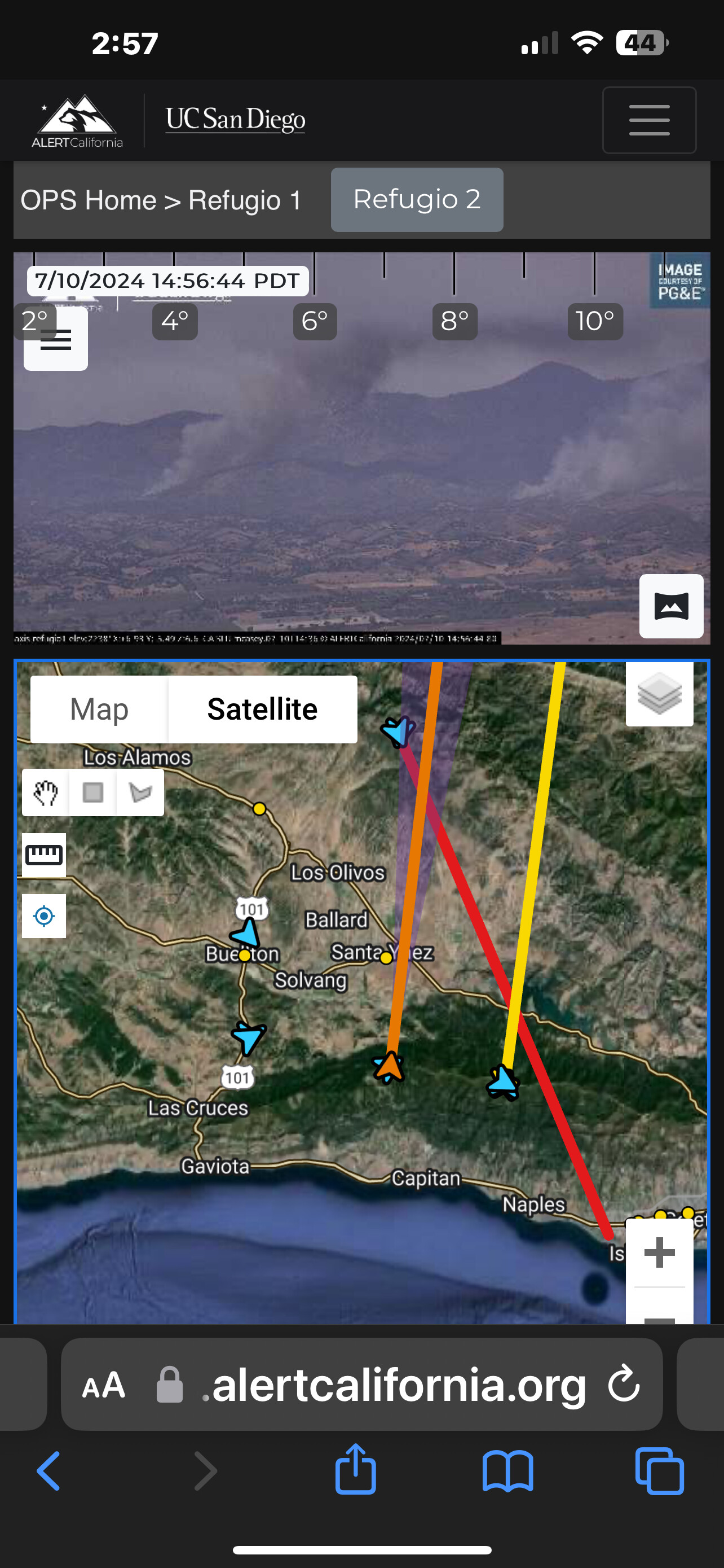
Fire activity is very low. Heat signatures from:
Caltopo have cooled:
https://caltopo.com/map.html#ll=34.76729,-120.00405&z=11&b=t&o=f16a%2Cr&n=1,0.25&a=mba%2Cfire%2Cmodis_mp
AND GOES-18 CIRA Satellite show fire have cooled as well:
https://rammb-slider.cira.colostate.edu/?sat=goes-18&sec=full_disk&x=13806.025390625&y=3893.933349609375&z=6&angle=0&im=14&ts=2&st=0&et=0&speed=230&motion=loop&maps[borders]=white&p[0]=geocolor&p[1]=cira_natural_fire_color&opacity[0]=1&opacity[1]=0.5&pause=&slider=-1&hide_controls=0&mouse_draw=0&follow_feature=0&follow_hide=0&s=rammb-slider&draw_color=FFD700&draw_width=6
You’ll probably see the two Kern Fires to the right of the Lake Fire image, at this time.
Looking good for today. Hope it holds.