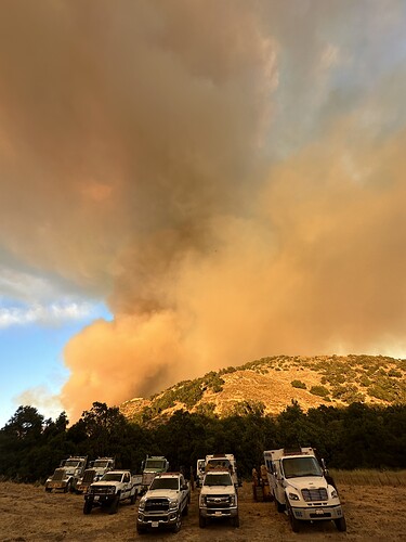
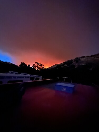
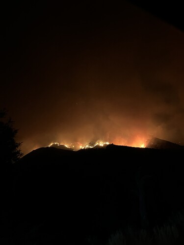
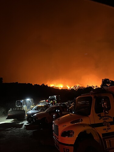
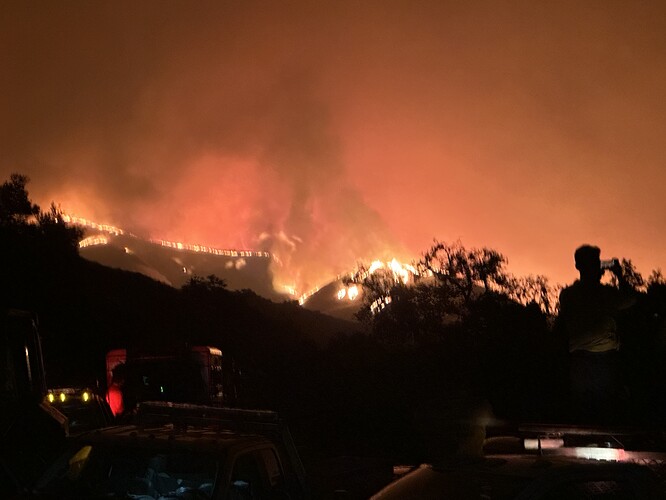
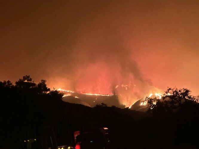
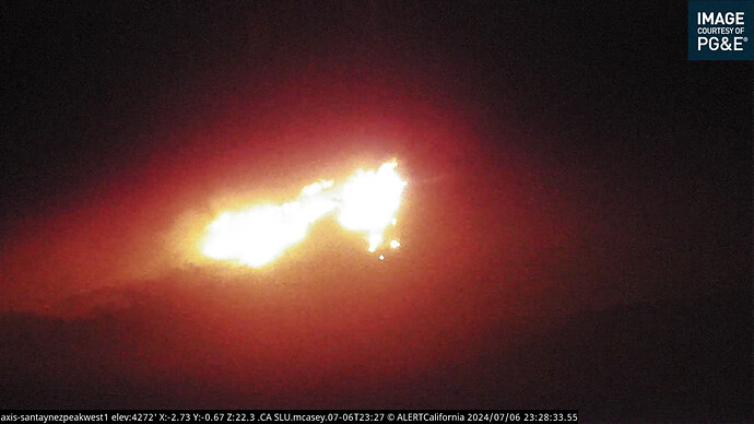
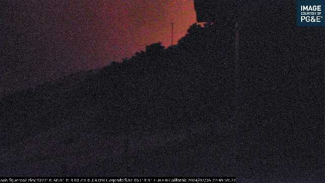
Watched Grass Mountain Camera from 2200-2400. Came up north facing, hit ridge and blew south east towards Figueroa Station (my station in 2002). Fig still shows light off in the distance but satellite heat shows fire in Figueroa drainage. That concerns me because that whole canyon is a box canyon with Fig station towards the top south side of the ridge. To me, it looks like the fire has hit Neverland Ranch based on CalTopo’s Terra Satellite at 11pm. This fire is branching out in many directions. Tomorrow will be interesting.
After working the fire or attempting to work it we were chased out multiple times. With the narrow valleys with full area ignition. The fire was making huge runs and sheeting entire slopes when aligned. When we ended up bedding down at roughly 0130 am it was still in the high 90s we single digit humidity’s at the fire. The management has pulled resources off of then western flank due to no visible place to punch line and get us some rest for today. Acreage wise, by the time the fly it and map it again I’m guessing this fire will be closer to 9-11k acres. The last significant fire in that area ended burning close to 300k acres in 2007.
Basically in 2007 the LP made a big Box and kept the fire within it.
LPF-Lake extended frequencies assigned:
Air Tactics FM - 168.3375
Air/Ground - 168.500
AM Victors - 119.225, 134.175
Also not confirmed, but possible problem with that A/G and they might be using A/G 41, 167.475 until a new one can get assigned.
Correct. They’re up and working on A/G 41
Not quite collapsed just trying to punch through.
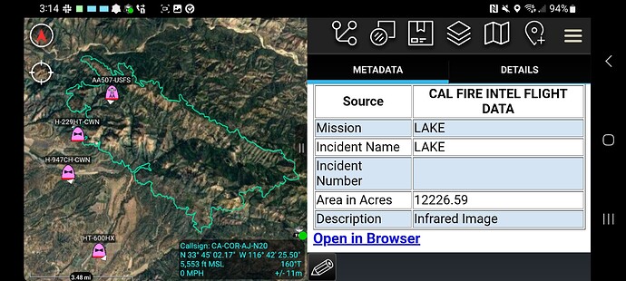
12,227 acres
Requesting the two scoopers that are being released out of Alaska.
Erroneous. It escaped the “big box” and went for another 200,000 acres more and was finally wrapped 2 months later by IHC’s spiking out for weeks and going direct.
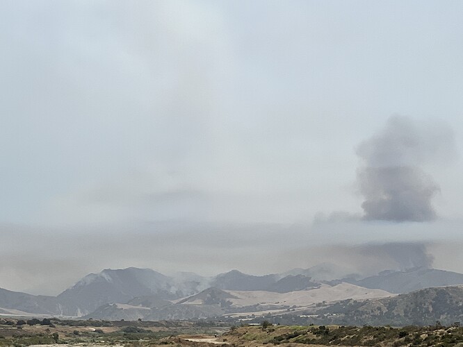
The area is smoked out for tankers, but it has a massive pyro-cumulus right now. Winds are also picking up in the Guadalupe and Santa Maria valley.
yep, especially the north and nerotheast corners.
AA requesting the same lineup for aircraft tomorrow, with engagement time of 0730.
INTEL24 mapping the fire now. The fire is getting close to Figueroa.
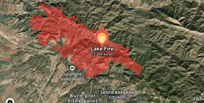
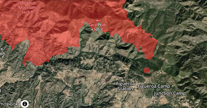
Updated 13,264ac with a 15ac slop on catway road/zaca ridge
Both the spot and the main fire are less than 300 feet from the Figueroa Lookout.

