State ID:CA
3 letter designator:LPF
Fire name:Ogivly
Location:Ogivly Ranch
Reported acres:20-30
Rate of spread:Moderate
Report on Conditions:20-30 MROS Structure threat
Structure threat:Yes
Resources:
Hazards:
Weather:
Radio channels:
Scanner link:
Webcam link: http://hpwren.ucsd.edu/cameras/L/syp-e-mobo-c.jpg
http://hpwren.ucsd.edu/cameras/L/syp-axis.jpg
Agency Website:
1 Like
Jumpers on order from Redding
50ac reached ridgetop. Additional tankers on order
AA ordering 4 additional tankers and requesting 6 type 1 fed crews
AA07 saying 50 acres. MROS. Potential for 300-500 acres
1 Like
LPF units per CAD: AA07LPF BC32LPF BC42LPF CRW4LPF CRW7LPF CRW8LPF DOZ3LPF DOZ4LPF E187 AZ E346LPF E44LPF E51LPF HB-XFT HEL528LPF HEL530LPF PAT41LPF Q WT3LPF
The fire is developing a good heat signature on Satellite.
1 Like
STB E307,
MTO E391, E691 & BC
CRP 361
Enroute Ogilvy Incident
1 Like
VNC dozer and VNC crew requested
1 Like
VLAT was ordered awhile ago but dispatch missed it…so…now on order…
3 Likes
AA07 saying south side is slowing down and running into the Rey Fire burn scare. Northeast side of the fire is most active and where the focus of the retardant drops are being made. Updated acreage is 80 acres.
4 Likes
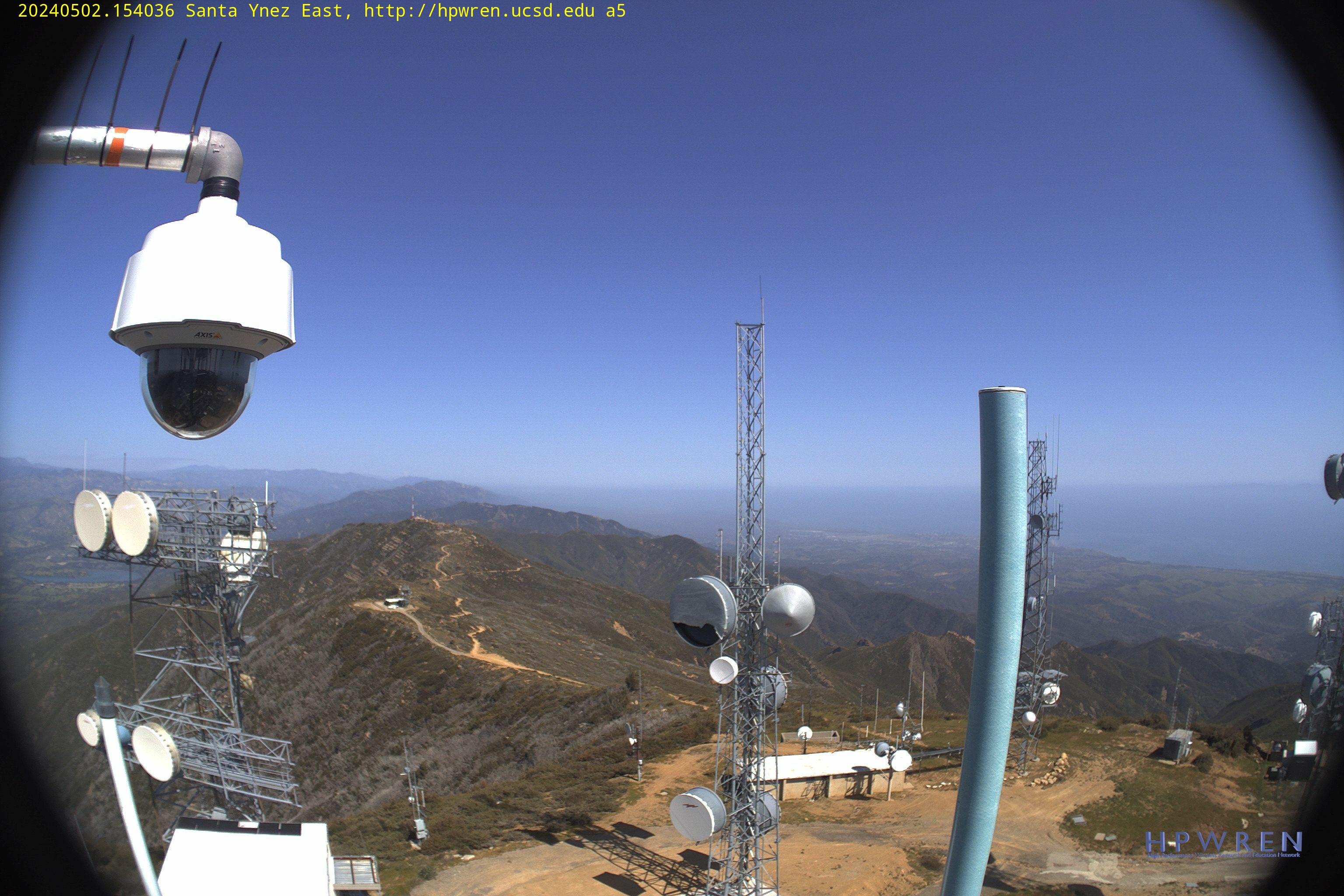
General Area
2 Likes
Santa Barbara county resources on scene- Batt 512,E-315,313,332,WT22,DZR2,SBC C1-2,Copter 3 and Copter 308
Load of smokejumpers off Santa Maria Airport. Should be over the fire in 10 minutes.
Releasing some of the LG type 3s and overhead.
Very little fire history in this area. Wray and Thomas fires burned adjacent to this area but did not burn to east of Ogilvy Ranch.
Sounds like they caught it at about 100 acres but it’s pretty much a fly in show so difficult to support.
1 Like
Last I heard from AA was 170 acres
1 Like
Only 3 acres of growth last operational period. Multiple helicopters worked crew shuttling yesterday with the others utilized for bucket work, sling load missions.
looking good out there this morning