https://www.alertwildfire.org/region/sierra/?camera=Axis-MtAbel1
Appears to be a lightning strike from last night. Unknown ROC

https://www.alertwildfire.org/region/sierra/?camera=Axis-MtAbel1
Appears to be a lightning strike from last night. Unknown ROC
VNC just sent a Firehawk Copter 4 with a fly crew……Crew 13
Looks like air attack 07 and a couple air tankers are in the fire.
Quite an air show with both LPF copters, VNC fire hawk and tankers working it.
Is this the smoke seen from the Pelato Peak West camera?
Yes, it is.
thanks was just looking through the camera scenes and saw it.
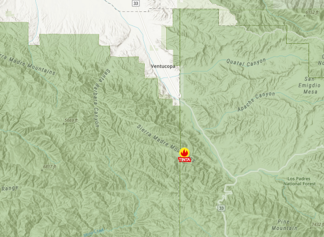
Somewhere off of the westside of Hwy.33 south of Hwy.166 #Ventucopa
Possible fire on camera #Axis-MtAbel1 @nvfirecams @alertwildfire #AxisMtAbel1 via @NVSeismoLab
Someone said possibly the #TintaFire 
Wildcad Los Padres
09/05/2022 11:18
LPF-2186
P5EK1Y 0507
TINTA
Wildfire
TINTA CG MP.AA07LPF BC71LPF CRW8LPF E355LPF E371LPF4X4 E372LPF E375LPF HEL527LPF HEL528LPF PAT34LPF Q PAT75LPF F WT5LPFBC71 Luna
Effective 09/05/2022 1200
single tree/grass
134 43.134, -119 26.1187N
34°43’08.0"N 119°26’07.1"W
https://goo.gl/maps/8h5xcNfjcfH8VuUm7