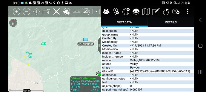
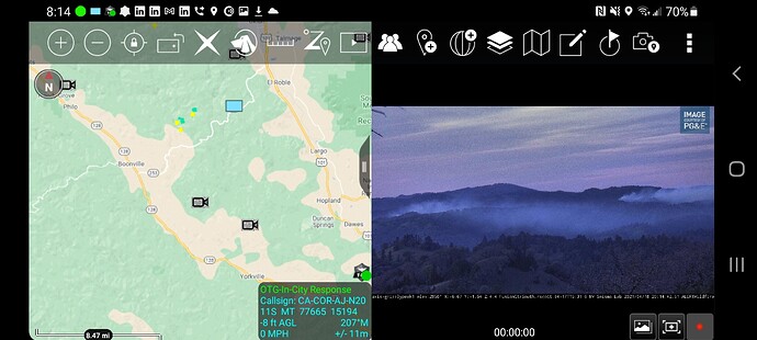
State ID: CA
3 letter designator: MEU
Fire name: TURNOUT
Location:Highway 253 at Boonville Rd [38.99914, -123.35838]
Reported acres: 50
Rate of spread: MROS
Report on Conditions:
Structure threat:
Resources:
Hazards:
Weather:
Radio channels:
Scanner link:
Webcam link:
Agency Website:
Noticed a FIRIS perimeter named Valley from yesterday in the same area. Dont remember seeing an IA thread
VMP or other type of control burns?
Read on FB there was a prescribed burn close by
Cal Fire tweeted, “#TurnoutFire southwest of Ukiah in Mendocino County is 100 acres and 15% contained.” https://twitter.com/CAL_FIRE/status/1384184228837953545
Cal Fire says now 185 acres and 20% contained.
So suprised Terra or Aqua MODIS did not pick this up. Will have to look into their path swath. Maybe a bad angle.
It burned ominously well for a fire in April, in a coastal county, that typically doesn’t burn until July…
200 acres 20% contained
#TurnoutFire Incident Update: 200 acres and 75% containment #CALFIREMEU https://twitter.com/CALFIRE_MEU/status/1385237701364834305/photo/1


