State ID: Ca
3 letter designator:MMU
Fire name:Daple
Location: 43533 Cooks Mtn Rd
Reported acres:10
Rate of spread: Dangerous
Report on Conditions: Oakwoodland and grass, double air and ground IA resources
Structure threat:unknown
Resources:
Hazards:
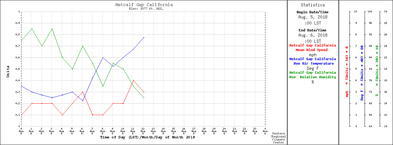
Weather:
Radio channels: MMU Local 2, Calfire Tac 7, Calfire Air Tactics 6
Scanner link:
Webcam link:
Agency Website:
Cooks Mtn road and Hwy 49. Ahwahnee location.
1 structure fully involved into wildland.
Within Ferguson Air TFR
SLU ST 9340C responding code 3 from FKU. Fresno Ecc came up on the radio to one of the SLU engines working on finishing up an auto extrication call on hwy 180 to respond to MMU immediately.
1 Like
1 Like
Road correction is Crooks Mtn. and Hwy 49
Several structures threatened
Aircraft on order- T76, T83, C406, T74, T79, 3-copters pending
Per BC10 and IC4224 looking good but forward progress not stopped yet.
Cancelled 2 Tankers and the 3 pending copters
Forward progress stopped at 15 acres.
All equipment not at scene cancelled. Air tankers released. I copter support with bucket drops.
1 Like
Containment called by BC10 at final of 22 acres.
1 Like

