
Madera, Mariposa, and Merced Counties Fire (broadcastify.com)
3 Likes
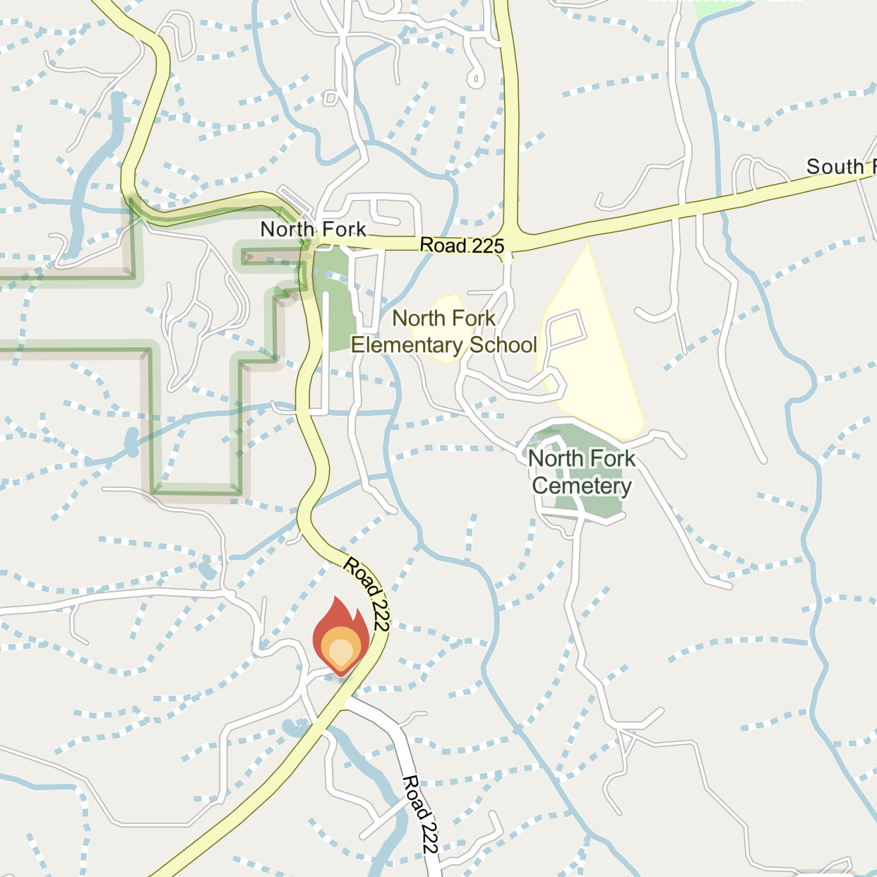
Head of the fire is bumping structures on RD 225. AA asking for total of 8 AT’s
5 Likes
Request for VLAT denied
None available
2 Likes
1 VLAT filled diverted from The Fairview Incidents
5 Likes
From Madera Sheriff’s Office:
An Evacuation Order has been issued for -Road 222 between Road 200 and Carmen Ranch Road -Willow Creek Drive -Church Street -Road 228 -Wakova Lane -De Na Lane -Tu-Nobi Way -Poy-Ah-Now Road -Lark Lane -Road 225 between Road 228 and Lark Lane, Southside of the Road. There is an immediate threat to life. This is an evacuation order to leave now. The area is being closed to public access.
Plus Evac warning issued for wider areas to the NE, East, and South to the Madera/Fresno County line (which is the San Joaquin River)
2 Likes
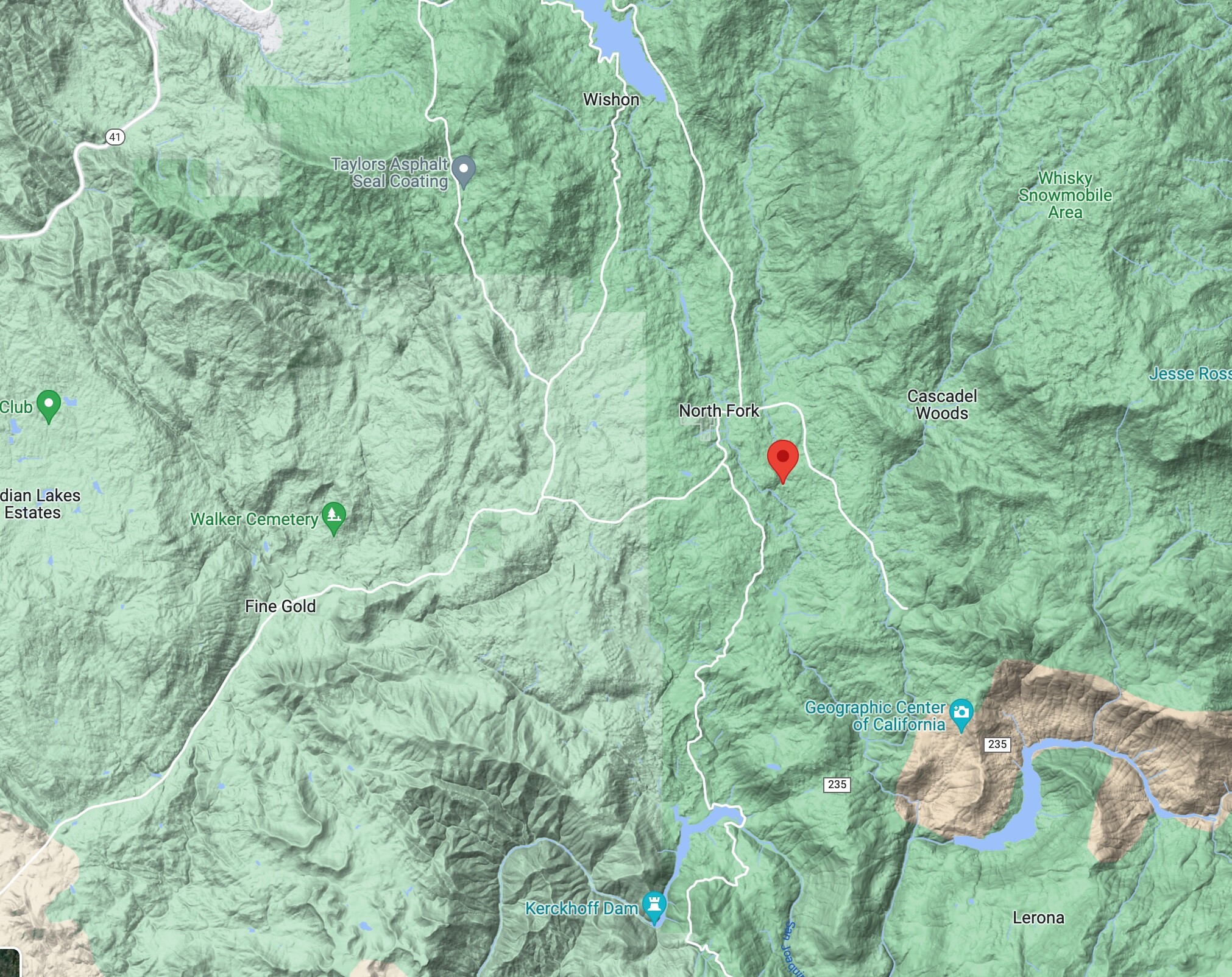
Per AA, 200 acres.
3 Likes
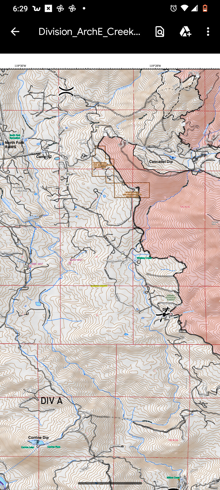
Evac orders expanded to include Road 233 up to Cascadel Woods and the area around Willow Creek Drive.
These areas are to the north and east of the intersection of Road 200 and Road 225 in North Fork.
2 Likes
Evacuation for Cascadel Woods.
2 Likes
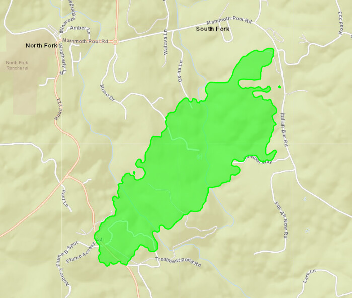
Current evacuation map
https://community.zonehaven.com/?latlon=37.228054165282074,-119.4981143288993&z=12.053897171237685
4 Likes
The wind has shifted to north northwest and an increase in fire activity followed.
(Edit) Fire is getting down canyon winds which always seem to present issues on fires in this area.
2 Likes
400 acres per cal fire MMU
4 Likes

773 acres and 5% contained.
3 Likes