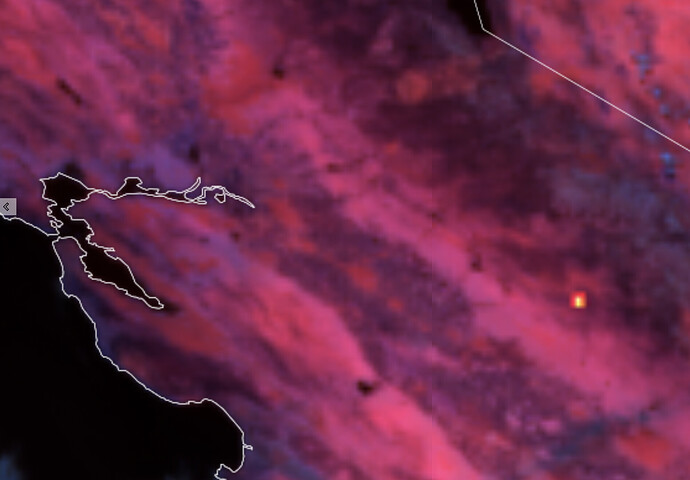
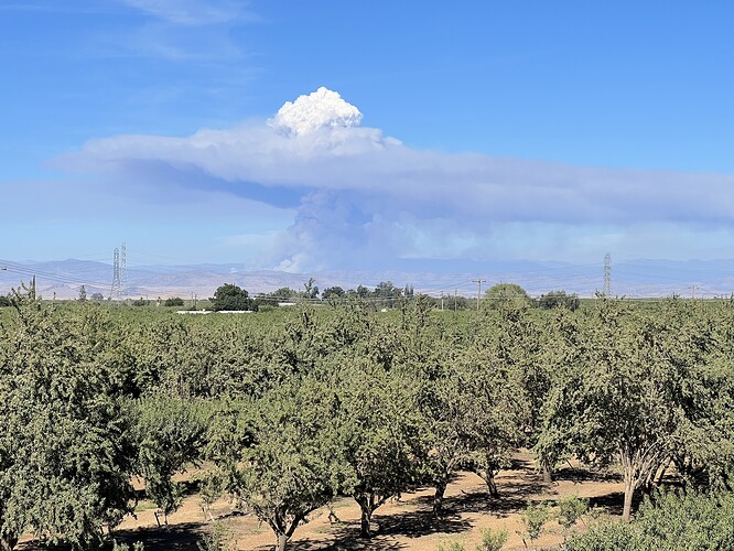
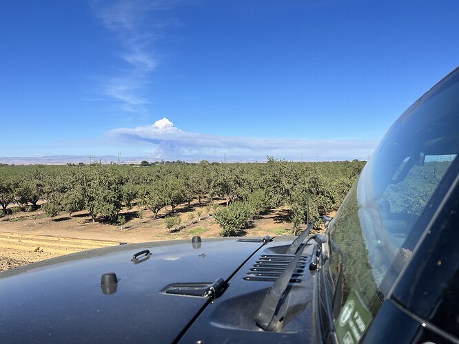
GOES 18 - showing some heat:
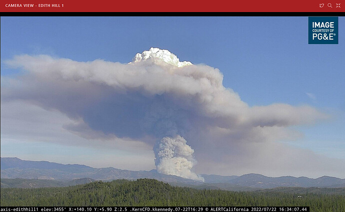
Per AA fire is 150 acres with CROS
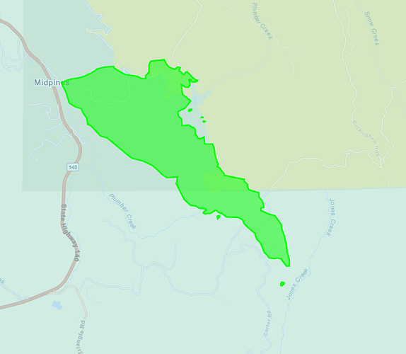
I would place it roughly in the area 3004 and 3088 JNO the reservoir (Plumbar) and SNF 5S24.
1537hrs, Update per ATGS, roughly 100 acres with a critical rate of spread
The area you mentioned and the address on Carstens road they just gave for structure protection are less than one mile from each other.
AA was comms about origin Carstens and Pumbar creek. It crosses in many locations.
Per MCSO
OAK FIRE EVACUATION ORDER- Triangle Rd (both sides of the road) from Hwy 140 to Carter Rd, All of Carter Rd.
Evacuation Center has been established at the New Life Christian Church located at 5089 Cole Rd.
Map of the area- https://arcg.is/jKqD5
Road Closures-
Carstens Rd
Triangle Rd from Hwy 140 to Carter Rd
Buckingham Mt. Rd
Plumbar Creek Rd.
Evacuation Center has been established at the New Life Christian Church located at 5089 Cole Rd.
Map of the area- https://arcg.is/jKqD5
Road Closures-
Carstens Rd
Triangle Rd from Hwy 140 to Carter Rd
Buckingham Mt. Rd
Plumbar Creek Rd.
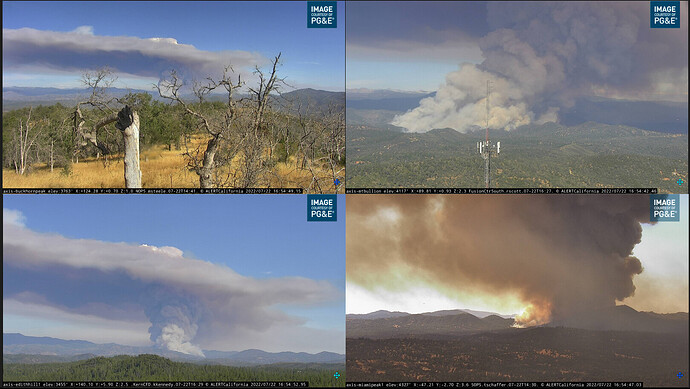
Jumped Carter Rd
Lots of spot fires past Carter and Buckingham mountain.
Per scanner “Will be hitting Darrah & Jersey Dale Roads in approx 1 hour” “Big box will be Jersey Dale”
STs 9430C, 9438L, 9434G w/ CNA 43B & 43C enroute from FKU
spot 3/4 mile in front of head, expected to impact structures
Scanner = “Spot 3/4 mile ahead… will impact structures in 10 (?) minutes”
Did not catch the identifier asking OPS for aircraft to the south side of the fire for spots over 1 mile ahead of the fire
A post was merged into an existing topic: CA-MMU-OAK ??
Oh goodie… fairground close. We’ve all served some time at the fairground hahaha
1300 acres per AA
