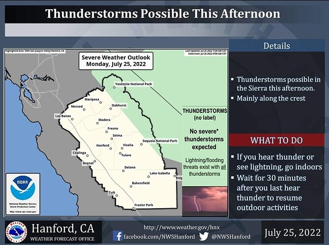
A few thunderstorms are possible along the Sierra high country tomorrow afternoon. Small hail and wind gusts near 40 miles per hour are associated with strong thunderstorms. In addition to dangerous cloud to ground lightning strikes, any thunderstorm can produce intense rainfall rates, leading to localized flooding. Thunderstorms are not expected over the Oak Fire, however winds can become gusty and erratic near thunderstorms.
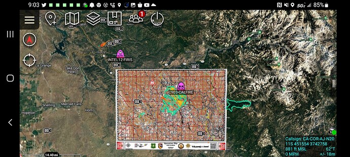
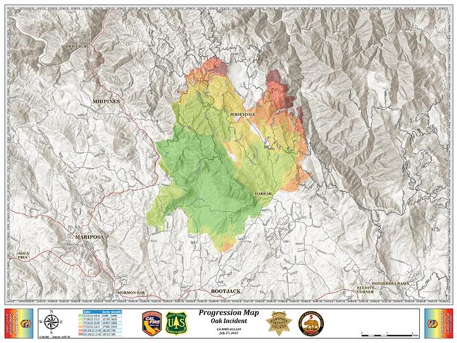
FIRIS INTEL-12 18008 acres
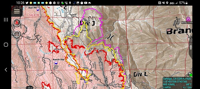
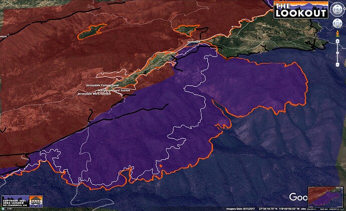
1100 mission yellow
2200 mission in pink to highlight growth in DIV L and J about 600 acre growth
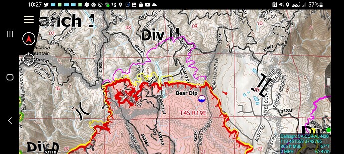
DIV H roughly 355 acre growth
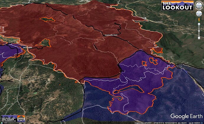
Another view of 24 hr spread into Ferguson Fire (blue) area.
Orange is tonight’s FIRIS perimeter.
White is last night’s.
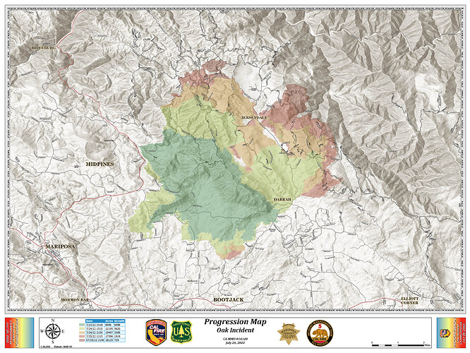
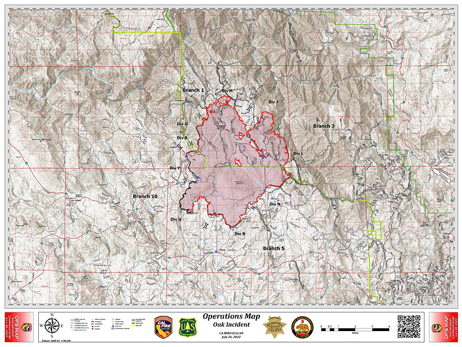
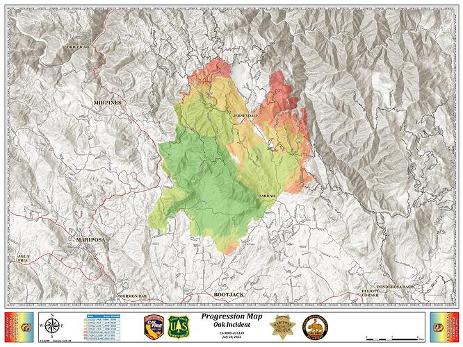
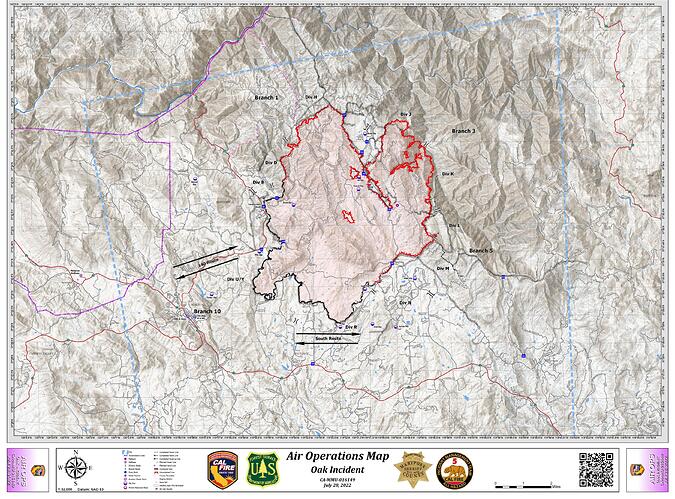
Per this AM’s 209 & current progression/ops maps:
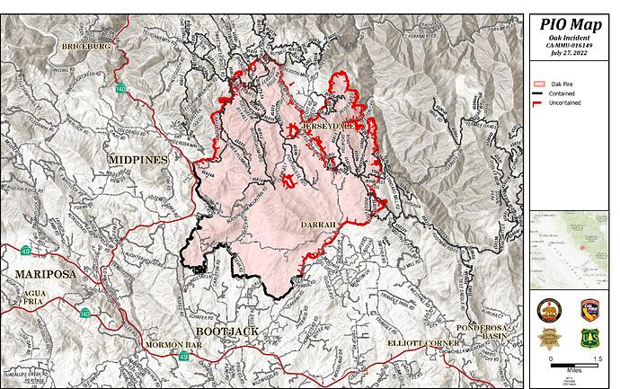
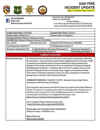
1,8087 Acres @ 26% Containment
2991 Personnel Assigned
25 Residences & 16 outbuildings Destroyed
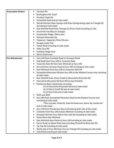
Projected Incident Activity:
Branch I: Potential for spot fires and growth to the East.
Branch III: If left unchecked, the fire will reach Devil Gulch.
12 hours: Branch V/XB: Fire is creeping, smoldering with occasional pockets of interior flare-ups. The fire is smoldering creeping with occasional hot pockets of fuel. Minimal growth expected.
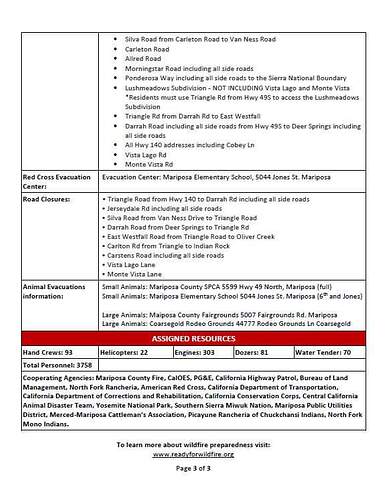
Critical Resource Needs:
40 Hand Crew strike teams; 5 strike teams Type 3 engines; 10 strike teams Type 6 engines; 15 HEQB; 11 Falling Modules.
18,715 acres and 32% contained
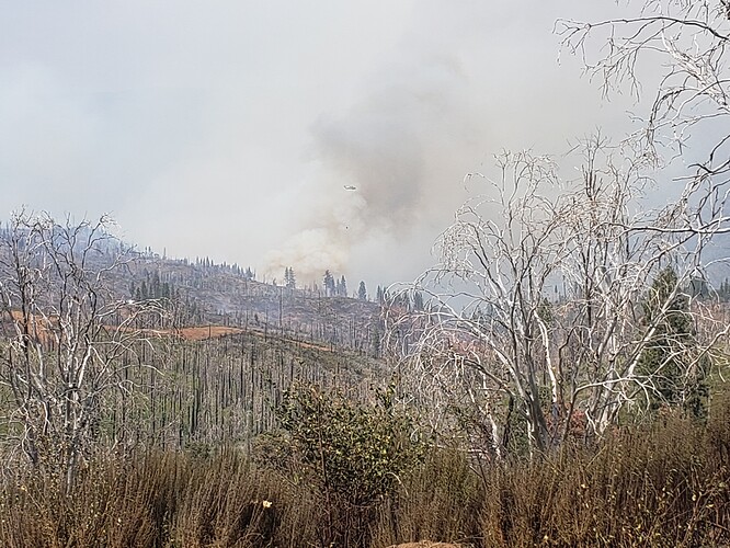
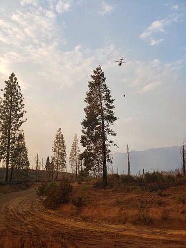
Helco activities all morning (and into the afternoon) have been drops in Div. K and J. A mobile retardant base has been moved in closer to the lines to aid the penetration of the water into the fuels.
AA patrolled the fire this morning. Nothing critical to report. Back on the ground at air base.
Objectives are to pretty much secure the fire in branch one and check the fire moving towards devils gulch
Live shot… Seems to have calmed down a little
If you end up being able to post more id be interested to see
And a UAS all sharing the same airspace
And nirops was way above.
The Oak Fire is 19,156 acres and 39% contained.
Also there’s a contingency map on the server today. Hadn’t seen it before. It also has the sections for those of us listening to the radio traffic. I can’t post the jpeg I made here because it’s too big.
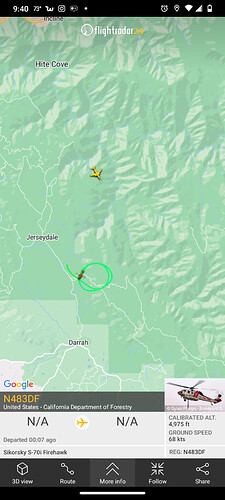
Lakota? Looks an S-70i CAL-FIRE Hawk.
Ah i reread your post the Hawk you have posted below doing drops.
I dont see the Lakota on your map? They broadcasting adsb? I also dont see it on the 222. Should be a UH-72
edit - they have added it on todays IAP.

