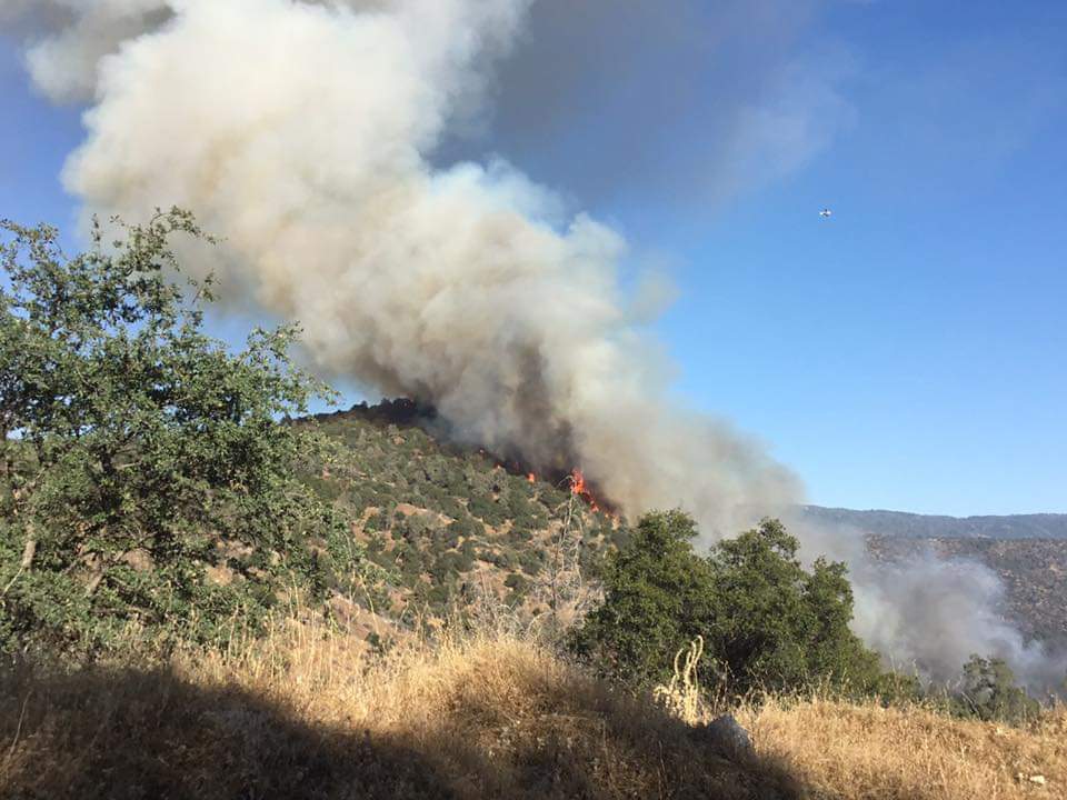
State ID:CA
3 letter designator:MMU
Fire name:Power
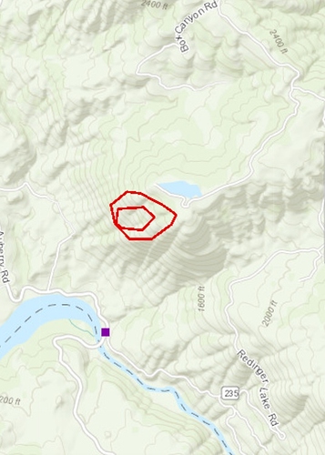
Location: rd 222 and rd 235
Reported acres:2
Rate of spread:slow
Report on Conditions:
Structure threat: unknown
Resources:
Hazards:
Weather:
Radio channels: MMU Local2, AirTactics 6
Scanner link:
Webcam link:
Agency Website:
IC ordering 10 type 3 engines, 2 crews, 2 dozers. 2 additional tankers + 1 addl copter aswell. Possibly a 2nd fire in the area. Power Fire
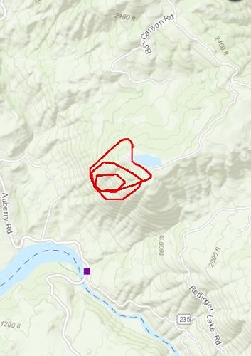
Dangerous rate of spread… Already 100 acres… Potential for 500 acres
Meadow lakes cam seems to be pointed at it:
http://www.alertwildfire.org/sierra/index.html?camera=Axis-MeadowLakes&v=81e003f
Dont know if this is the MMU fire… but this cam has it as well:
http://www.alertwildfire.org/sierra/index.html?camera=Axis-MeadowLakes&v=81e003f
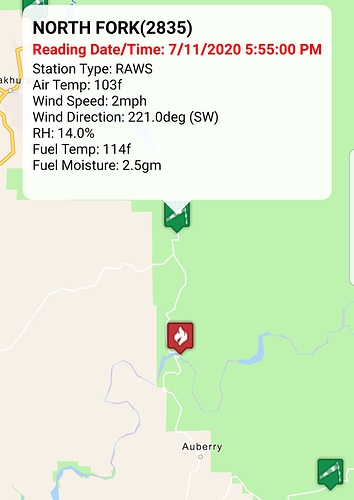
RAWS north fork;
97 temp, 15 rh, wind 2-8mph @ 255 degrees, fuel temp 98, fuel stick 3
Owens looking east has the base
http://www.alertwildfire.org/sierra/index.html?camera=Axis-OwensMtn&v=81e003f
No wind. At least we have that.
Immediate structure threat, however I am not sure exactly where.
Spot fire to the north #LarkFire
IC advised the fire will go extended attack and has potential for a major incident. Currently 4 Tankers assigned. There are 2 fires in the area, 1 is not doing much and 1 is.
Units are going direct on the right flank, and requesting bucket drops to keep them engaged.
Aircraft that were diverted to the Woodville Incident have been returned to the Power incident.
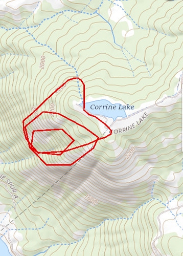
New IC on the Powers gave a report, but I didn’t catch it all. Calling it 50 acres, several structures destroyed, and more are immediately threatened.
Current aircraft assigned to both the Lark and Power
AA 2AL, 15
T-76, 78, 79, 80, 82, 83, 160
H-520
Type 1 helicopter 1CG, 1HT

