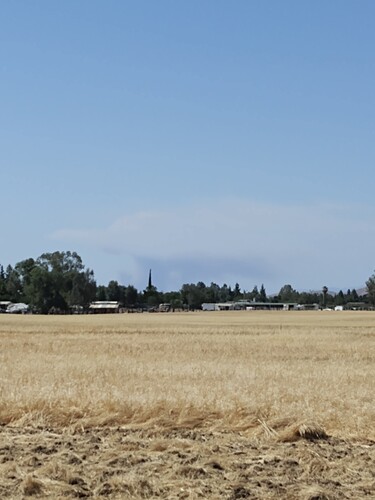
http://www.alertwildfire.org/sierra/index.html?camera=Axis-Bullion&v=fd40729
AA430, T82, T83, HC95, HC304 enroute
AA will be AA430 from Fresno
30 acres, MROS unknown, potential of 500 acres
IA thread here
The Deadwood cam shows it nearly in the West Fork Chowchilla river drainage 
Will the fire want to run towards Awahnee in the river drainage or will it want to run more towards the east?
It will move towards awahnee some but still more or less head east toward deadwood mountain.
Hope I’m wrong, but I believe I just heard one of the divisions say a structure was burning
Unfortunately you are not wrong
Heard the same
Just going to throw a little history from this area on this date 1961.
Those who ignore history are doomed to repeat it. Fire history matters for perspective and planning
Isn’t this the Q&D section? D is for discussion correct?
You should switch to the IA thread
Yet, someone who could be deployed tomorrow on this might read what @TheBrushSlasher posted and could save a life or two. History does repeat itself…Feel free to start the history thread…
Solid stuff there Brush Slasher!
I disagree

