State ID:CA
3 letter designator:MNF
Fire name:Nail
Location: Fouts Springs area (just SE of Gray Pine CG, Nail Track OHV area, Section 4 here)
Reported acres: 1-3
Rate of spread: Making a push up hill
Report on Conditions: Brush, midslope, not in any timber yet. Started by an ATV. Hope to catch this once aircraft gets put up. A type 2 copter (205GH) just arrived Orland this morning I believed assigned to MNF so that’ll likely be first up.
Scanner link: http://scancal.org/live.html has MNF Fire, Admin and air freqs
Webcam link: http://www.alertwildfire.org/shastamodoc/index.html?camera=Axis-SaintJohn2&v=81e003f has the top smoke
1 Like
230pm update: 5 acres, spotting ahead down canyon. Burning upper 3rd of slope. Ground access concerns due to safety issues getting engines under the fire. New plan try to keep it in check by aircraft and rethink the ground access.
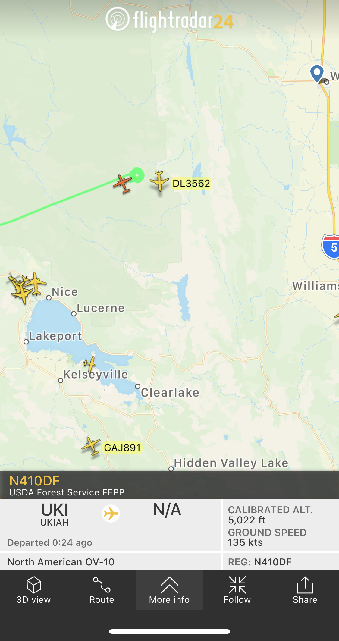
Ukiah T90 AA110 overhead, Fortuna has 96 inbound it appears. MNF Copter 5GH out of Orland. 2addl tankers requested total of 4.
Significant heat on GOES17
1 Like
Is this in the Ranch Fire scar
It’s just outside the Ranch. New start in LNU just diverted the next closest tankers.
Also Sutter Buttes swung its cam around which can look right up Stony Creek, but lots of valley haze.
1 Like
1600: Sounds and looks like they got the upper hand with the smoke dissipating, not making it over the southern spur of St. John and GOES17 IR has cooled significantly. Edit: “holding at 25 acres so far, 2 tankers on load and return”
Unless something major changes, this will be my last update.
4 Likes