Aircraft launching from Ramona for Border 10
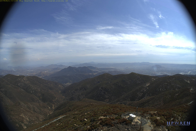
Smoke Visible on the OtayMountain Cam
http://www.alertwildfire.org/sdge/index.html
This is in Tin Can Canyon on the Southside of Otay Mtn. Access is off the Border Road SE of Donavan Prison. These typically start at the Border and burn up hill into Tin Can.
Per Cal Fire this is 1 acre and still on the South side of the Border fence.
Picking up some steam, still South of the Border. MVU now saying it is 1/2 mile south of the Border. it does seem to be making a run at Otay Mtn.
AA is reordering the S-2’s from Ramona and a type 1 copter. Copter 9 was added by dispatch.
The fire is currently running right along the south side of the border in an easterly fashion.
Fire has crossed the border 1/10th of an acre in the U.S. Potential for 50-100 acres.
5-10 acres in the U.S. Slow to moderate rate of spread.
Well it’s made it to White Cross and is paralleling the border road
25 acres on the U.S. side.
IC ordered an additional resources that were filled with
E 3373 3382 3388 3398 + 1 other
2 La Cima and 2 rainbow crews.
WT 85
If they keep it south of the border road they have a good chance to pick it up, if it gets north of the border road could go extended.
No easy ground access north of the border road until it crest Otay peak.

