Fire in Ramona off of Fernbrook Dr
Smoke showing in Woodson cam:
http://hpwren.ucsd.edu/cameras/I/wc-e-mobo-c.html
Another view
http://www.alertwildfire.org/sdge/index.html?camera=Axis-Woodson
MVU 2
TAC 5/8
Fire in Ramona off of Fernbrook Dr
Smoke showing in Woodson cam:
http://hpwren.ucsd.edu/cameras/I/wc-e-mobo-c.html
Another view
http://www.alertwildfire.org/sdge/index.html?camera=Axis-Woodson
MVU 2
TAC 5/8
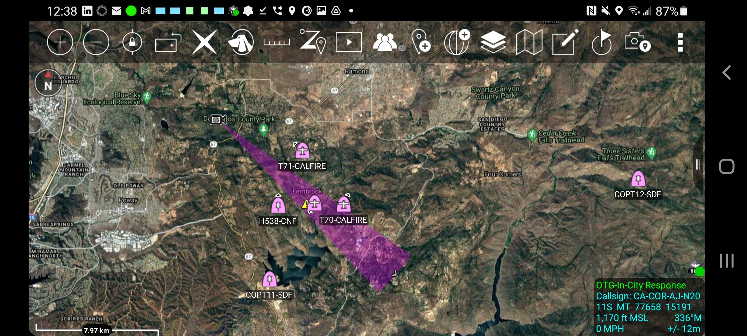
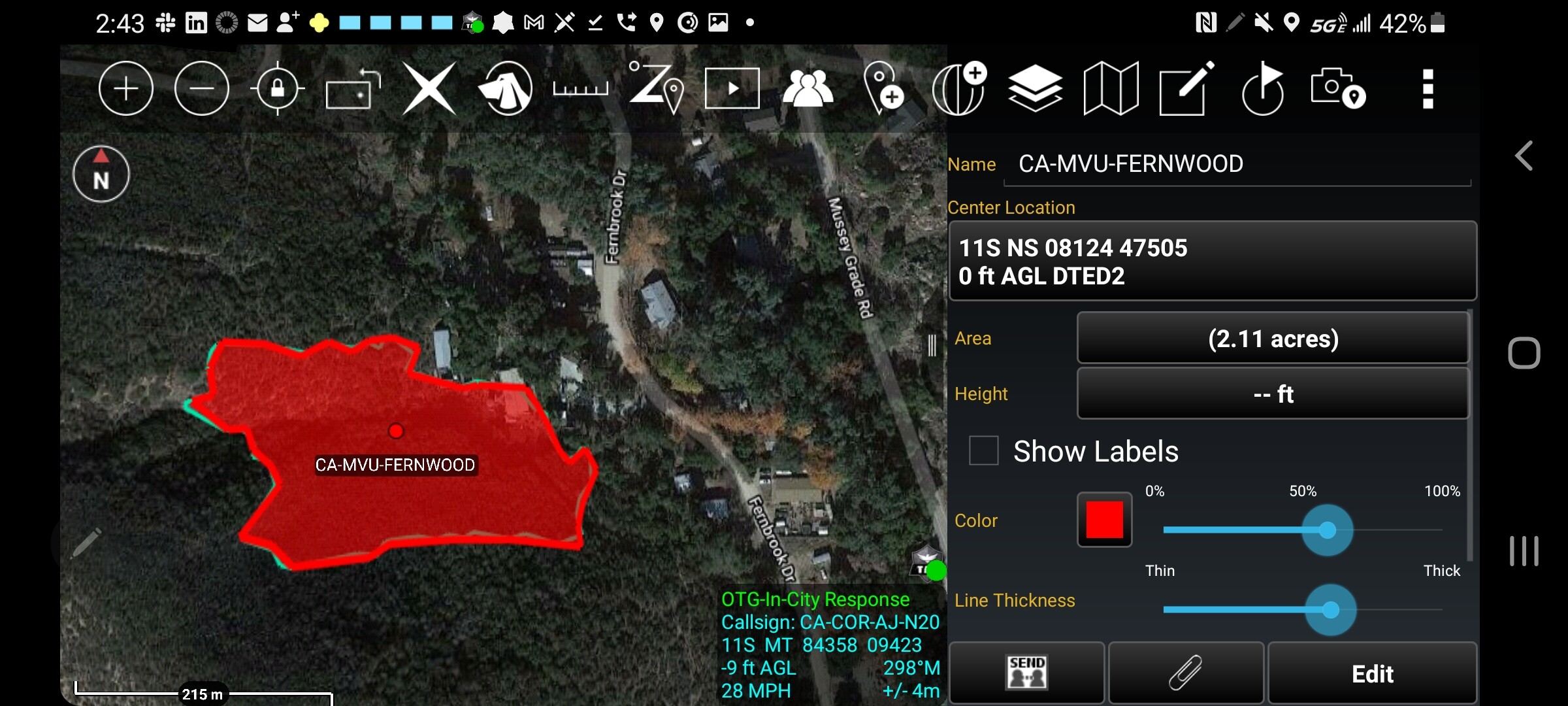
2 acres, Heavy fuels, potential for 200 with an immediate structure threat
Fire is boxed in with retardant. Looks like 2-3 acres with heavy Mop up.
Map a 2 acre fire? Is that really worth the aviation risk? What am I missing here.
Its an R&D-T&E project getting in some reps. They were already airborne at the fire in RRU. They are at 11000 MSL - 10223 AGL