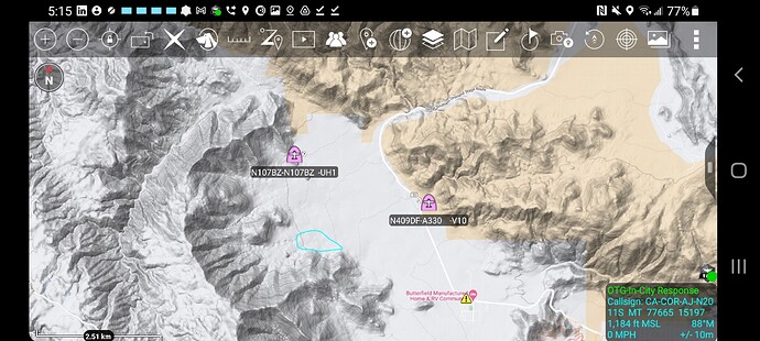
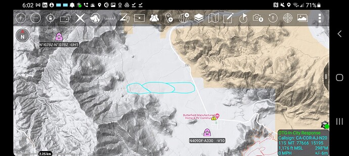
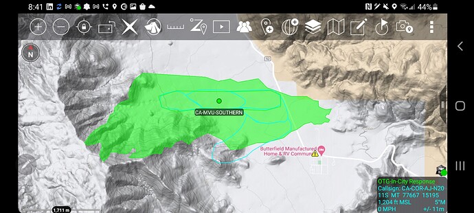
State ID:CA
3 letter designator:MVU
Fire name:Southern
Location:Great Southern Overland Stage Route (Julian)
Reported acres:
Rate of spread:
Report on Conditions:
Structure threat:Butterfield Ranch
Resources:
Hazards:
Weather:
Radio channels:
Scanner link:
Webcam link:ALERTWildfire | SDGE Website:
This fire looks to have a big wind pushing it down into the Desert floor. Smoke is layed over horizontal and looks to be a decent size fire.
West of Agua Caliente County Park - Structures may be threatened at the Butterfield Manufactured Home & RV Community. IC has requested SDSO and State Parks to head there and notify residents to evacuate. All the Ramona aircraft are working the fire.
North MT. Laguna Cam
http://hpwren.ucsd.edu/cameras/I/ml-n-mobo-c.html
West winds look to be cranking with a lot of downslope 
40 plus acres with a critical rate of spread.
70 and 71 back on base Ramona unable to drop due to the wind. Copter 301 lifting from Hemet enroute to the fire. Currently over the fire AA-330, Copter 12, Copter 129, and Helitanker 729.
AA-330 reporting an immediate structure threat and this will be an extended attack fire.
Looking like a few spots outside of this thing 
What scanner can I use to listen in ?
50 acres and just jumped Southern Overland Rd.
The fire is headed eastbound and residences east of Mason Valley have been evacuated. immediate structure threat to communities of Butterfield and Mason Valley.
Update on how many acres and potential resource orders ?
Just saw 1200 acres. Not sure how accurate that is though.
Fire is now 1200 acres backed by 35 mph winds. 500 residents evacuated with 3 structures destroyed. Tankers are still unable to drop due to winds.
1,500 acres
2900 acres, 0% containment. 40-60MPH winds were observed last night.


