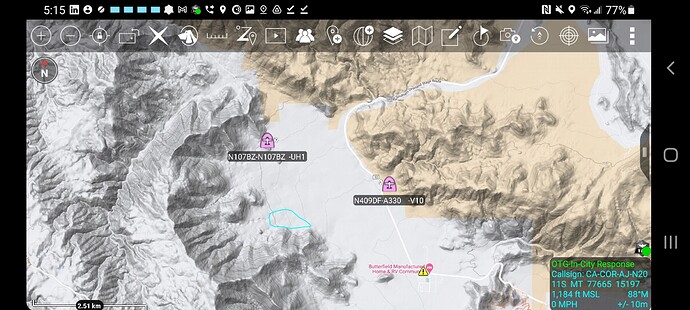
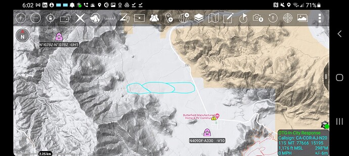
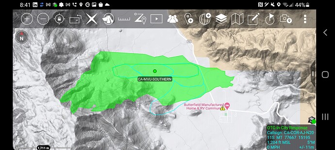
70 and 71 back on base Ramona unable to drop due to the wind. Copter 301 lifting from Hemet enroute to the fire. Currently over the fire AA-330, Copter 12, Copter 129, and Helitanker 729.
AA-330 reporting an immediate structure threat and this will be an extended attack fire.
Looking like a few spots outside of this thing 
What scanner can I use to listen in ?
50 acres and just jumped Southern Overland Rd.
The fire is headed eastbound and residences east of Mason Valley have been evacuated. immediate structure threat to communities of Butterfield and Mason Valley.
Update on how many acres and potential resource orders ?
Just saw 1200 acres. Not sure how accurate that is though.
Fire is now 1200 acres backed by 35 mph winds. 500 residents evacuated with 3 structures destroyed. Tankers are still unable to drop due to winds.
1,500 acres
2900 acres, 0% containment. 40-60MPH winds were observed last night.
Per Calfire MVU 2900 acres 0%. Fireighters working hard but dealing with 40-60mph overnight.
AA is over the fire, and the 2 tankers from Ramona are just about overhead as well.
Per Calfire, fire is 5,148 acres with 25% containment
6500 per last CF report. Still 25%
I think acreage back to 5,184 Monday morning due to better mapping


