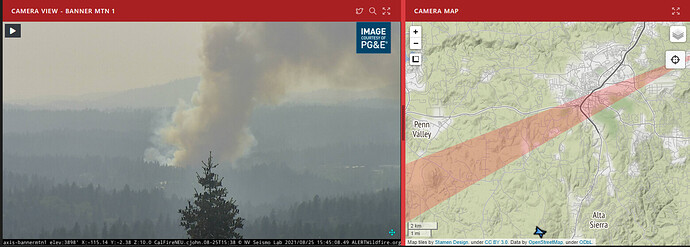
Anyone with info on a new start showing on the Banner mountain cam?
TCU Airoli?
Penn Valley area is going to be NEU, not TCU
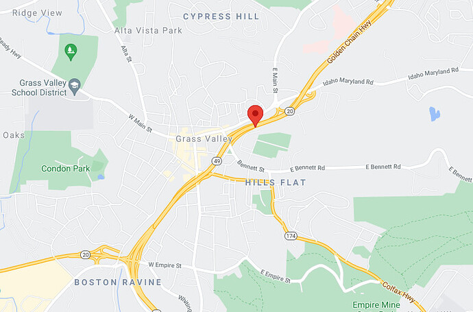
Bennet Fire. Between Idaho Maryland and Bennet St.
LNU - Boggs Mountain Copter 104 just dispatched to this incident.
25 Acres, rapid rate of spread, multiple structures threatened
From the Banner Mtn. cam, there is a significant spot in front of the main fire
I’m near the airport, seems to be picking up steam
Tnkr 88, 93, AC 90 over it.
Going for them.
- Road Access
- Fast turnaround from GVAA
Not going for them.
Spots
AC 90? Not familiar with that resource.
Fed AA out of GOO
Flightradar24 shows it over the fire, with the tankers… I’m not sure exactly what it is/does. Rockwell 690B pops up when you click on the icon.
AA17 a federal Air Attack
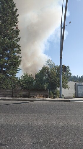
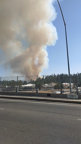
Looks to be looking from 49 and the Brunswick overpass.
Exactly. Looks like the wind shifted a little. Traffic almost at a standstill


