Press conference
https://m.facebook.com/CALFIRENEU/videos/437114524683151
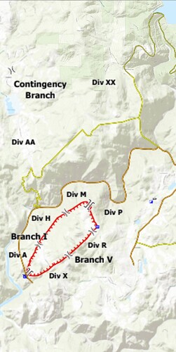
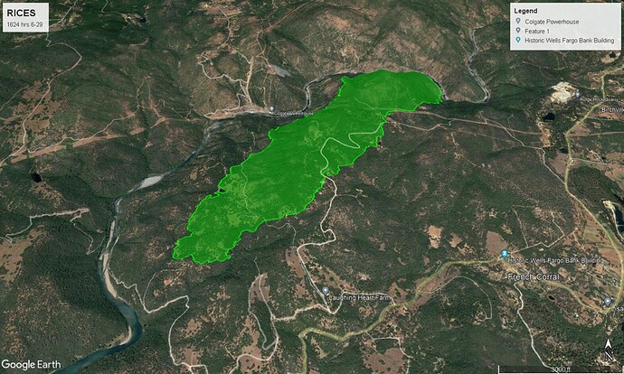
Mapped at 510 acres
Jun 28th, 11:59:06 PM
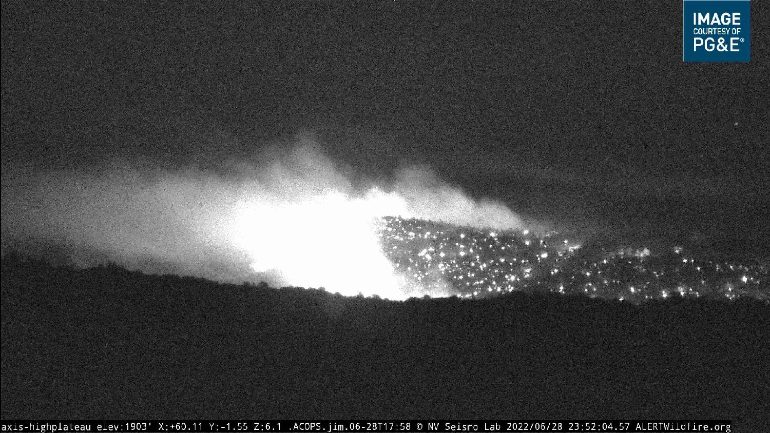
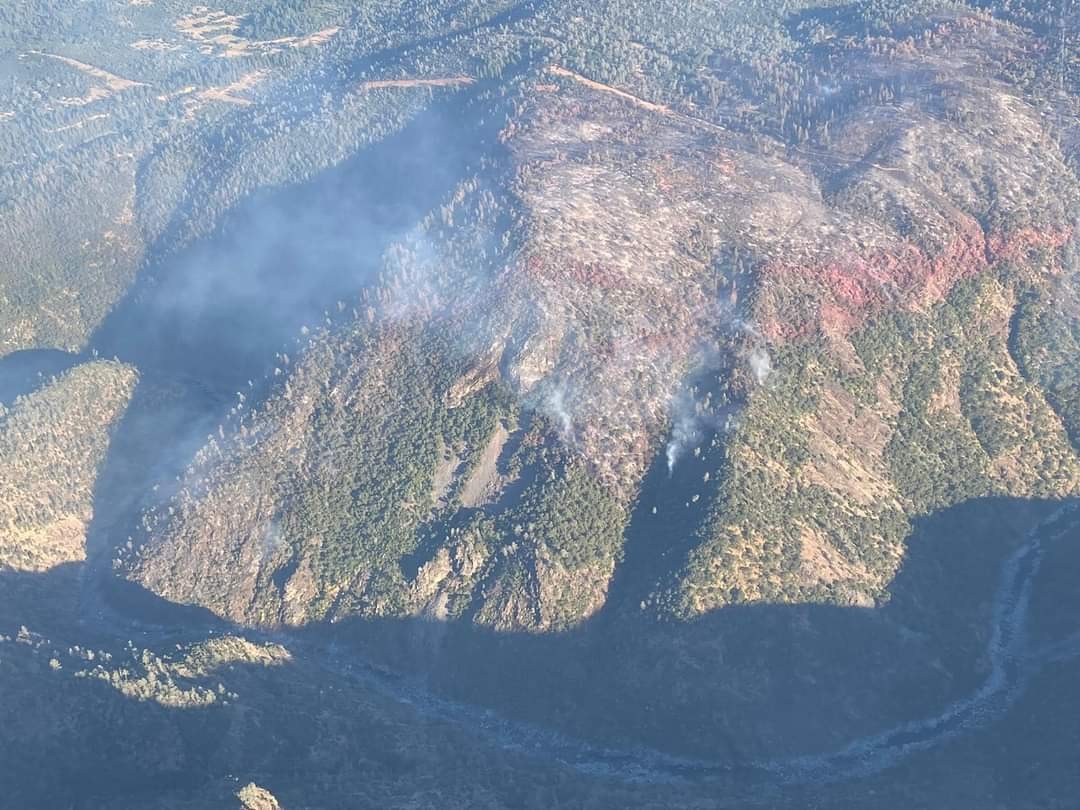
Nothing new reported in the past couple hours. Fire continues to be active above the Yuba River and along the Eastern to S/E edge.
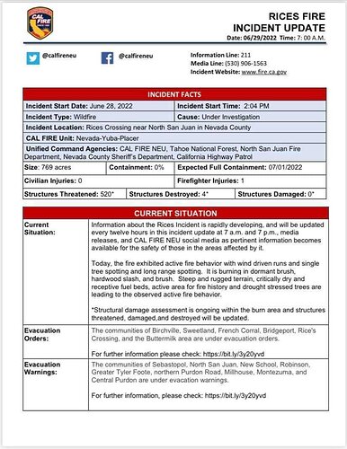
769 acres this morning
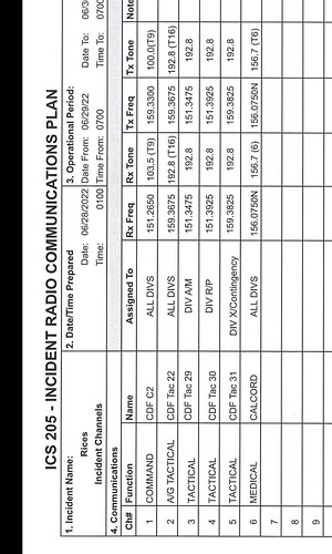
WATCH OUT if you’re pre-programming your radios for assignment off this 205, CDF Tac 22 is 159.405, not 159.3675. I believe the 205 has the typo. The actual assignment is truly CDF Tac 22.
7:29:53 AM
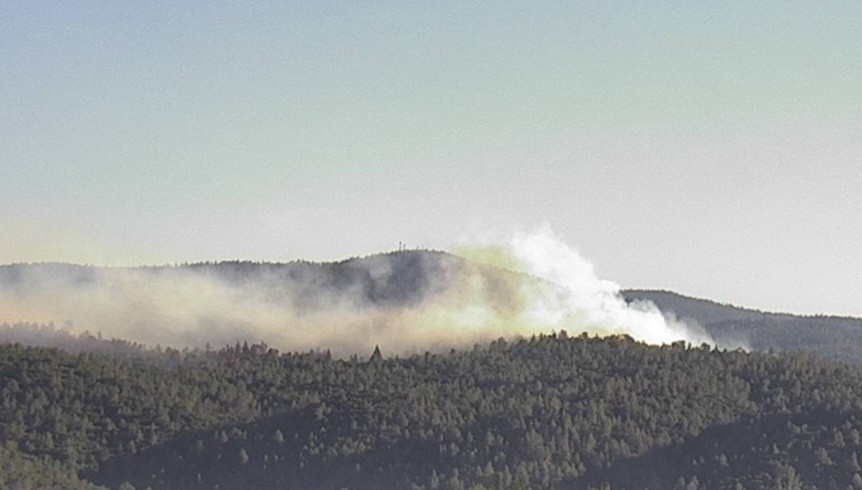
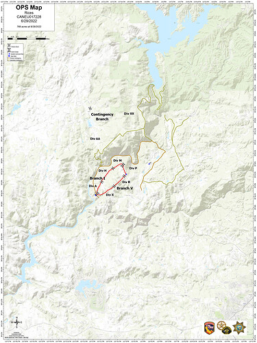
As of this morning the fire is 769 Acres and 0% Contained. Fire remains active along the northern and eastern edges in and around the Yuba River drainage.
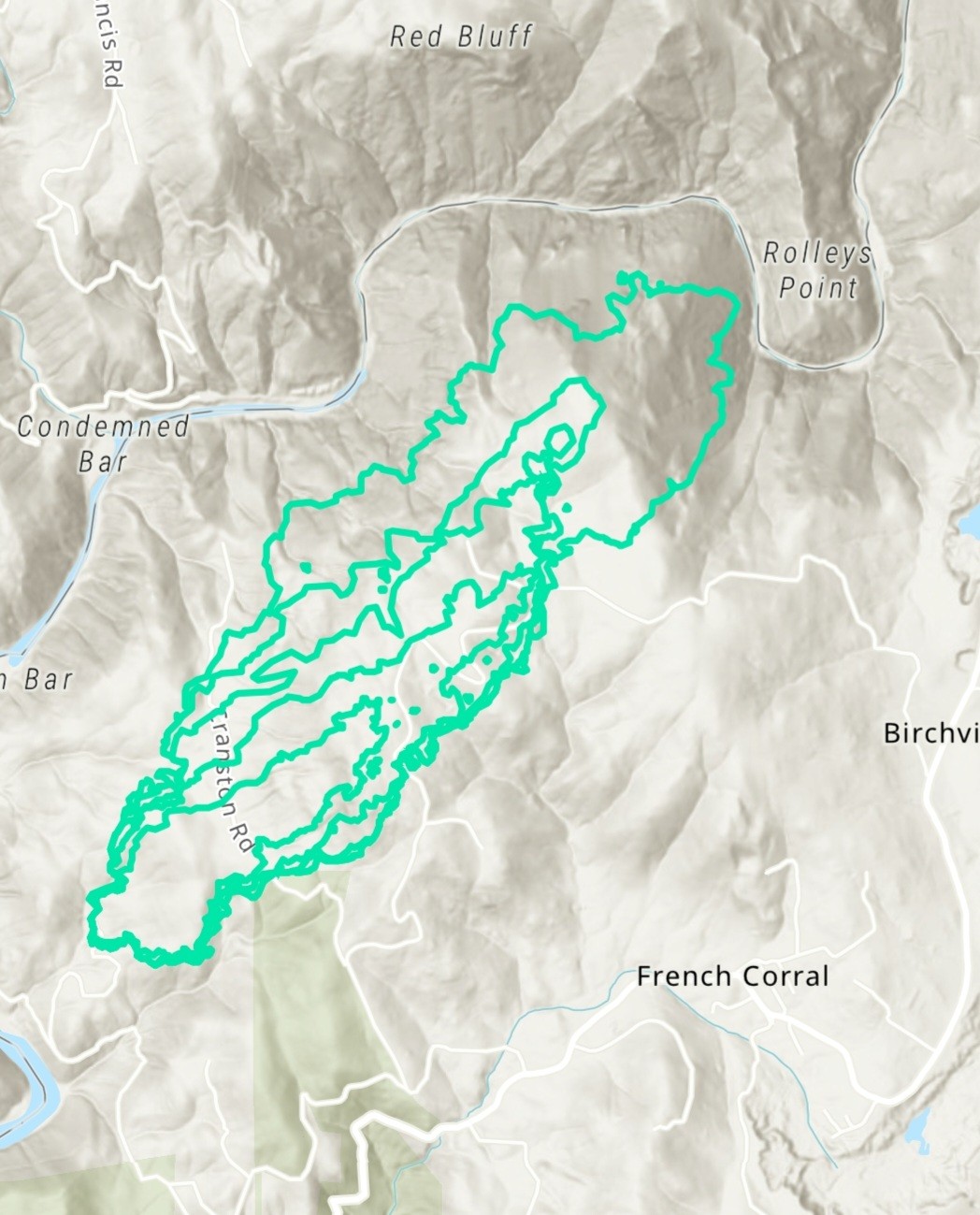
Interactive GIS map for #RicesFire northwest of Grass Valley CA. MODIS/VIIRS heat detection data always at least 3 hours old, locations approximate, sometimes false positive. #CAfire #CAwx
Open #GISsurfer map: bit.ly/3y41QpB
Also FIRIS video from this morning
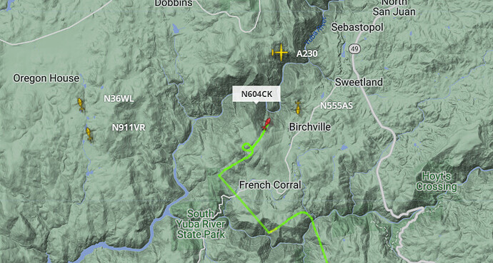
Initial aircraft on incident 08:46 PDT.
AA: AA230
Rotary Wing: N55AS, N911VR, N36WL, N604CK
Fixed Wing: N/A
Rotary Wing Media: N/A
Fire: Rice’s Aircraft Update (courtesy of Flightradar 24)
Updated: 10:00 Hrs. PDT 6/29/22
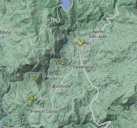
AA: AA230
Rotary Wing: N55AS, N604CK
Fixed Wing: T88
Rotary Wing Media: N/A
Wildfires California 2022 Updates
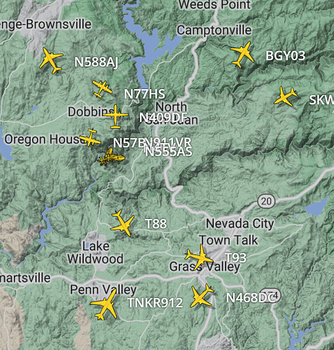
Fire: Rice’s Aircraft Update (courtesy of Flightradar 24)
Updated: 13:35 Hrs. 6/29/22
AA: AA230, N409DF (Calfire Otter) N47B (Calfire AA Beech C-12 Huron-Mapping?),
Rotary Wing: N555AS, N588AJ, N471CH, N911VR,
Fixed Wing: T88, N77HS, N588AJ, T93, N293EA (McDonnell Douglas MD-87), NKR912 (DC10)
Rotary Wing Media: N4TV
I’ll work on my spelling for the aircraft, my apologies for the errors… At least it sounds like this fire settled down nicely, but the crews will still be very busy for the next few operation periods. Walking the line will be a joy.
If it hasn’t already been posted:
https://drive.google.com/drive/folders/1BLGb-ntrz88zRxnHYQwCwMaFsyb7N-bE

