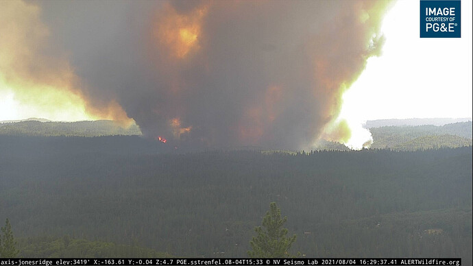
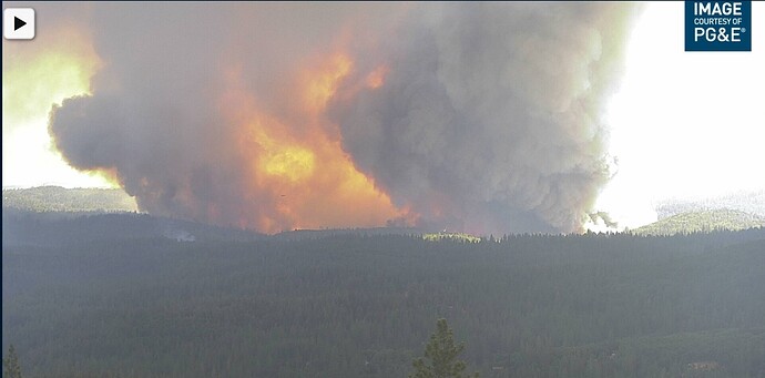
Knowing the heights of the trees in there (>75 ft.), those have to be 200 foot tall flames, easy
4 Likes
AA stated 40 to 60 feet, guessing above the canopy
1 Like
Thank you sir
Its scratchy, but still up…
1 Like
http://www.alertwildfire.org/tahoe/index.html?camera=Axis-JonesRidge&v=fd40731
3 hour time lapse show outrageous growth.
500 acres per AA, spot out front 1 mile near Rollins Lake. Helicopters working the spot with no other resources available to assist
2 Likes
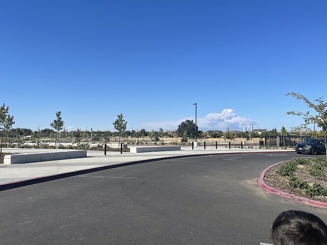
Huge column visible from Sac
1 Like
Possible new start near Grass Valley AAB/ECC
2 Likes
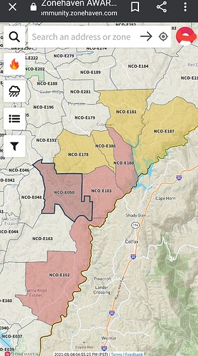
Nev County Evacmap. They have Zonehaven up an running.
https://community.zonehaven.com/?latlon=39.13016098915432,-120.98122332797595&z=11.364088840770682&selected=NCO-E050
1 Like
AA updated his estimate to between 800 and 1000 acres. Places the fire front at Clydesdale Road.
2 Likes
My house is on Meyer rd anyone that has command/tac that hears any structures involved please let me know.


