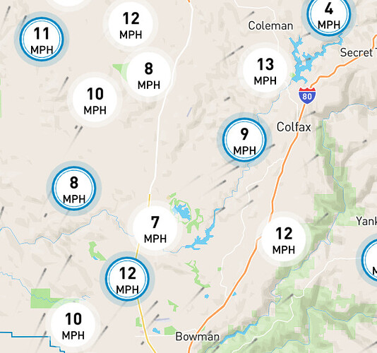
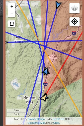
Lowell Fire, 2015 I think. Burned Bear River Canyon from Gold Run and Alta. Burned up to just south of Hwy 20.
Not all fires seem to get uploaded into SCOUT…still under development, so confidence is 90% …I zoom out a bit and the 49fire that was in Auburn is not there…
I was on that one too…and I do not see it either
Lowell was a good ways north of this one. Long time local, in 2013 maybe there was about 100 acres in Dogbar. No other history.
There hasn’t been a fire in that entire area since 1935. Lowell was 5 miles NE. everything else in the last 65 years has been 40 acres of less.
Thats unfortunate. But I do agree the closest in recent memory is the Lowell fire, still not in this area. I can’t think of any fires that I know of in the past 40 years in this area.
I live 2 miles down canyon, watching this thing like a hawk
Anyone have intel in colfax? My wife’s parents live in colfax along tracks. They are evacuating. I am hearing spotting near Rollins and colfax high school
Dog Bar was 2014. Stopped at Rolpholm Rd on Mt Olive. the left shoulder of the River is hitting that scar now.
Current fire front is all of Mt Olive from Clydesdale to 174 essentially. Spots up the slight valley behind the CP elementary school by Last Mile Dr and Mtn. Lion Rd.
Other than Lowell, there have been no significant fires in between Colfax and Grass Valley since at least 2003 (personal knowledge), lots of IA but nothing big. A couple 100ish acre fires in the Dog Bar/Magnolia area but nothing with a significant scar. This area is RIPE!
I sincerely hope it didn’t get into lode star as someone mentioned. The back side of Alta Sierra is steep, overgrown and over populated. A fire running through A.S. would be a true disaster
Lived at Dog Bar & Magnolia from early 80’s to 99. Lots of smaller and several medium incidents in that era. Fire bug went up and down Magnolia during the 49er fire 
Worked on a project a couple years ago looking into how to build better wildfire spread models to use in the WUI. We picked Nevada City/Alta Sierra Area because it was widely-felt to be the worst WUI in the Sierra.
Alta Sierra would probably be the worst case. Little fire history, and thousands of homes with 2 or 3 egress routes only. Have family and friends there, already getting worked up as they are already getting ash fall
https://www.wrh.noaa.gov/fire2/cafw/cafwfzone_dh_printer.php?sid=STO&zone=267
Not a favorable weather forecast
Banner Mtn camera 3 hr WOW
Not at all 

