CA-NOD-Doyle??

Hwy 395 in area of Doyle. S2’s off Chico and Grass Valley, Copter 506 (covering Quincy currently).

Fort Sage camera has it right behind part of the radio tower - good south wind on it in the flats. A couple fires in this area the past few days.

EDIT: CHP CAD has it as a structure/shed on fire, then a vehicle involved into the veg. Google Maps approx street location at Cowboy Joe Rd.

BC3215 from blm is IC
Looks like 2 C130s off McClellan headed that way.

Another fire in the herlong area.

The fire near Doyle is visible in the Alertwildfire Fort Sage camera. It doesn’t look like it is doing much yet.

Doyle RAWS at 12pm has 90F, winds SSW10G26, RH13.

In addition to the two C130’s, looks like a T1 copter off Chester just lifted also.

edited original post with better location from CHP CAD. Also per CHP it has jumped 395. Appears all fixed wing reloading out of Reno-Stead.

It looks like a VLAT is on order and pending in the cue. Saw one of the 130’s launch out of MCC about an hr ago…

1 Like

1500: Fire lost steam - good stop on the ground. Some fixed wing returning, copters on a fuel cycle, smoke on fire cam is pretty much gone in last 15min. CHP requesting caltrans for guardrail damage and heavy retardant on the pavement.

1 Like

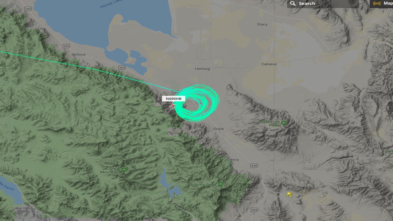
Doyle Fire - According to CalFire the blaze is at 150 acres in size with multiple aircraft working overhead. The fire has jumped the highway and has burned about 5 acres on the east side of the roadway.

Evacuations are underway for Cowboy Joe, Bernice, old Highway, Irwin and Hudspeth road.

The Lassen County Sheriff’s Office has ordered mandatory evacuations in areas including Cowboy Joe Road and the north end of old Hwy road in Doyle.

If you are in the evacuation are you need to leave immediately.

If you are near it - you need to be prepared to leave. A temporary evacuation center has been set up at the Doyle senior center.

200 acres
https://inciweb.nwcg.gov/incident/6437