
Great park Irvine.
4 Likes
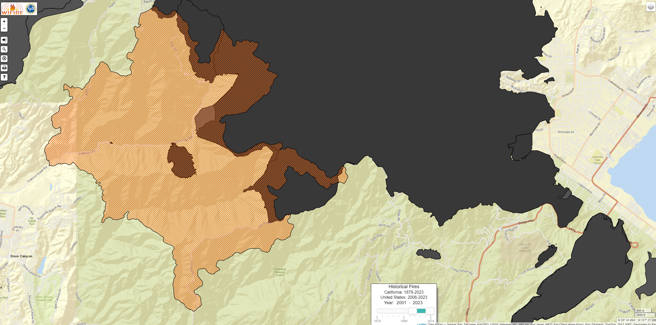
Mapped by Intel 24 as 9,333 acres.
2 Likes
That chunk of growth to the south in Hot Springs Canyon is a gnarly piece of terrain in a Roadless Area. Last recorded fire in the upper watershed was in 1980 with the Indian Fire
4 Likes
Div F pulling resources off the hill due to fire behavior
3 Likes
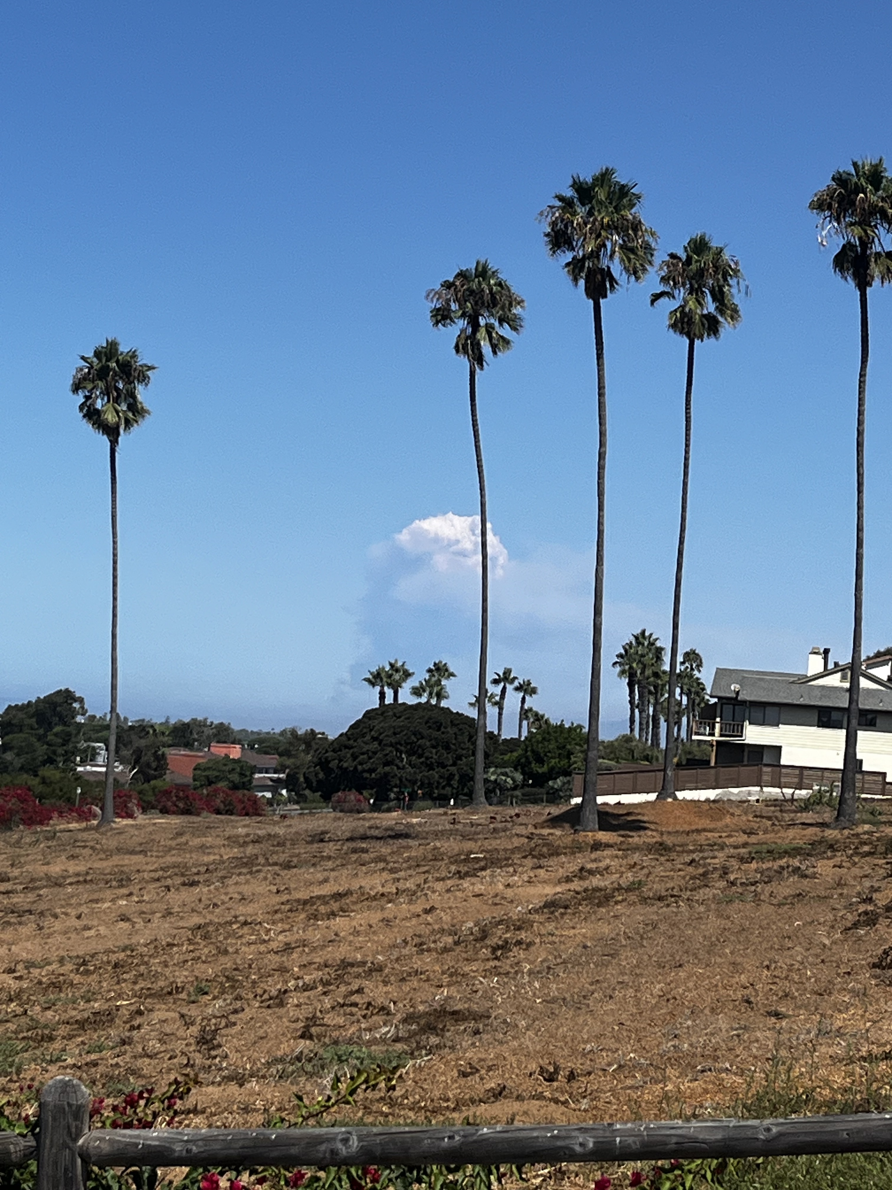
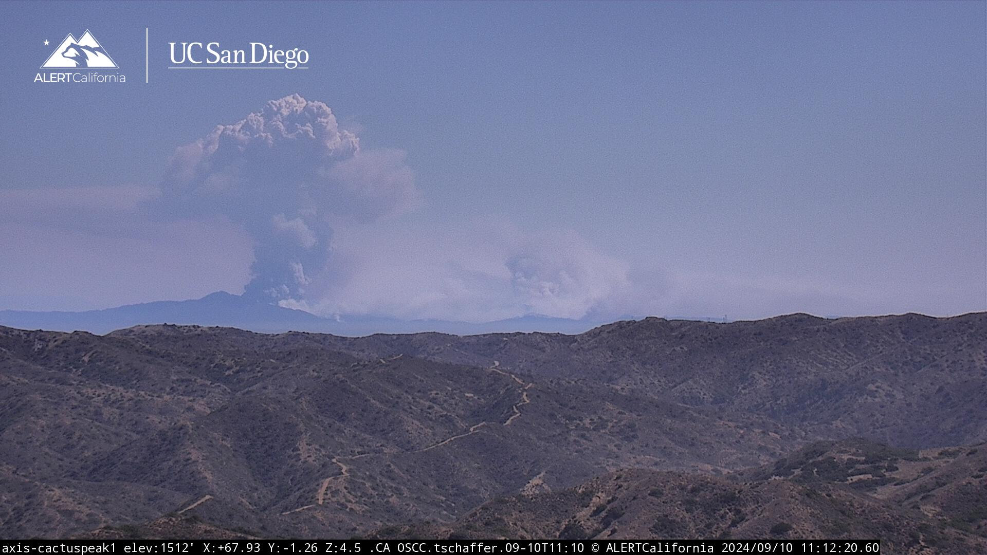
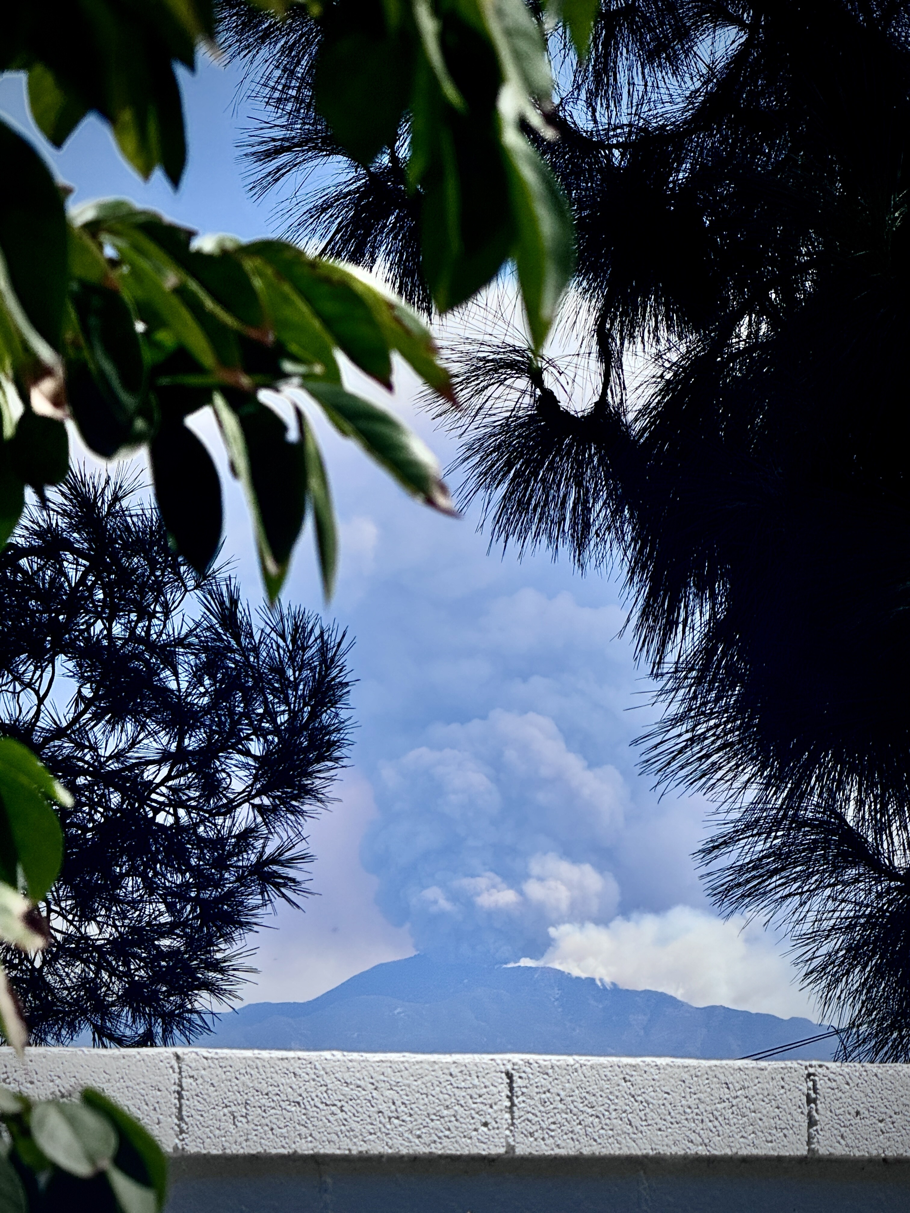
From Cactus Peak on Catalina
10 Likes
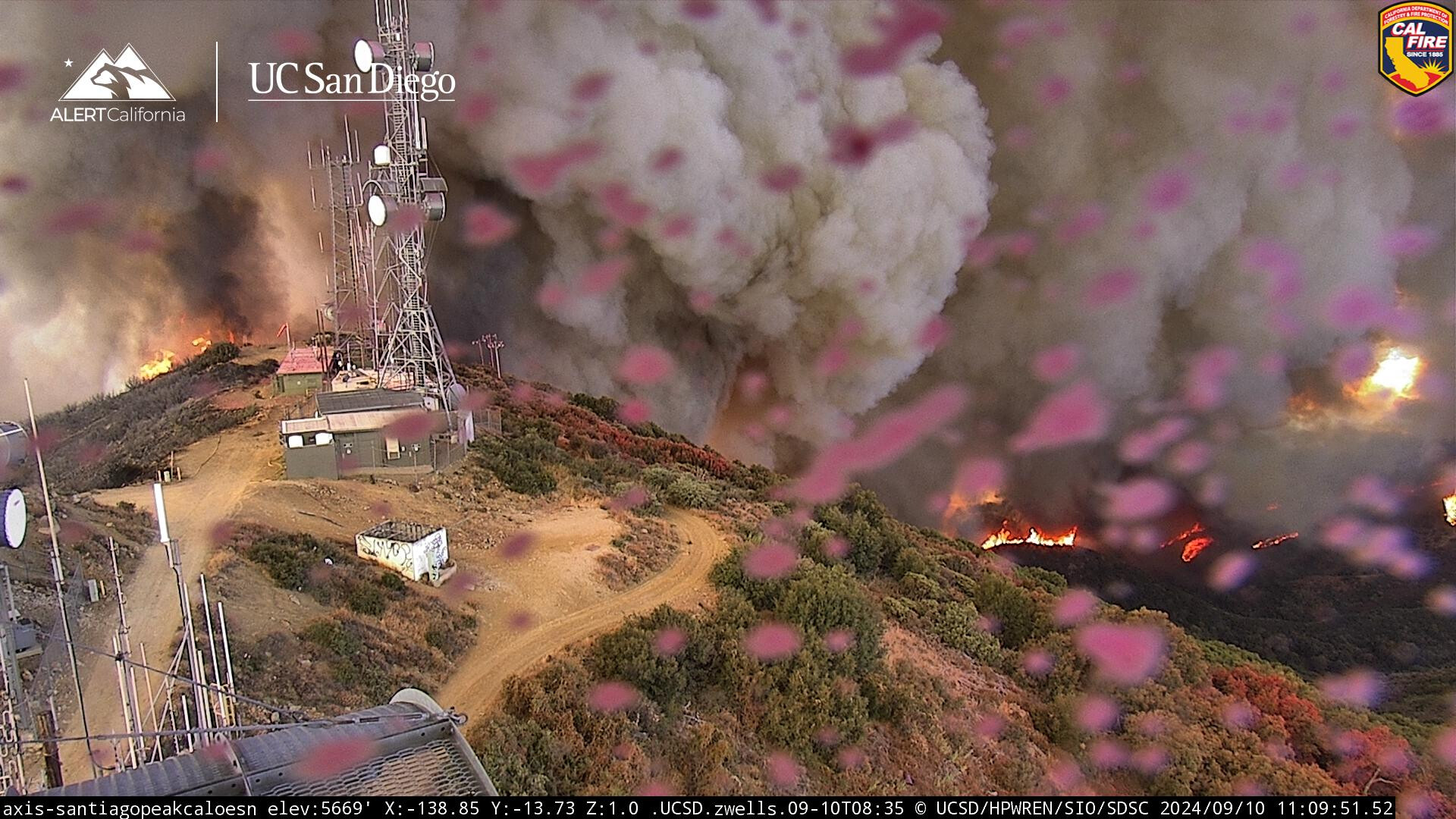
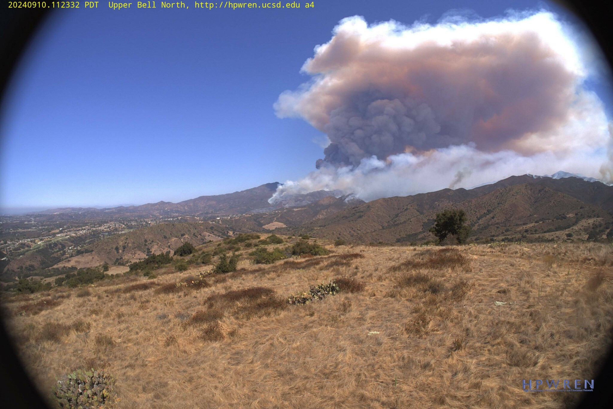
From Upper Bell Cyn, just South of the fire looking North, North of the Ortega Hwy, as it nears the top of Santiago Peak.
2 Likes
Div B and F are redeployment resources for structure defense in Silverado canyon and modjeska. Asking AA to advise how much time they have to determine evac warning or order
2 Likes

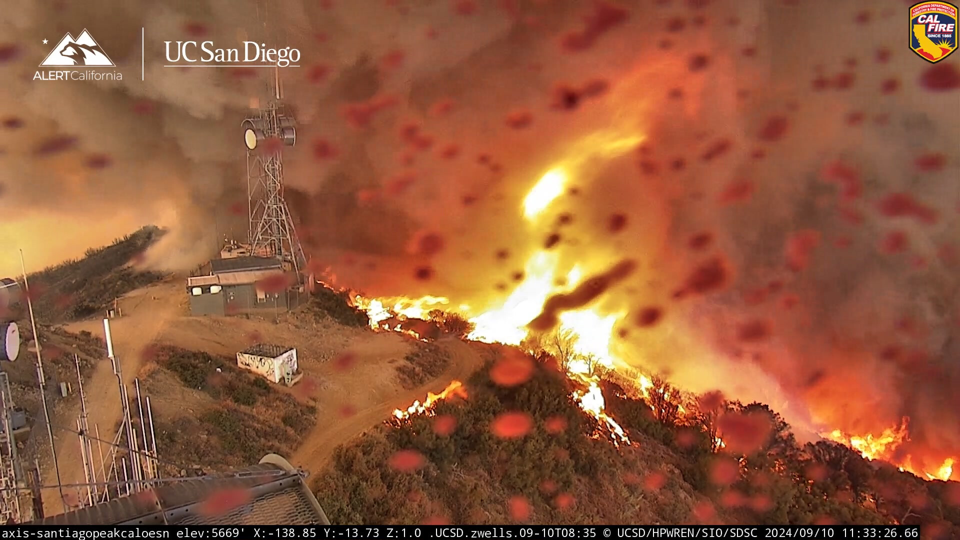
The 15 min loop on Santiago N shows it burn past as the cam operator follows the fire front. Pretty good watch, now we shall see if everything holds while it cools down up there.
5 Likes
2 AT diverted to the line fire which continues to make a large run up canyon in the big bear direction
3 Likes
RVC starting to move equipment into the Elsinore area
2 Likes
Interesting the first few days of the holy there wasn’t much going on. This fire being near the same area seems to be a very different story. Not a whole lot of defensible space clearing done then either unfortunately.
3 Likes
RVC moving lots of single resource engines to AberHill Park in Elsinore
6 Type one strike teams requested to Aberhill Park also
Air Attack states fire will be at the 74 in a hour and doubtful to hold it
4 Likes
That’s a hell of a run.
4 Likes
I was hoping the Holy Fire would hold it. While it did, to a point. The swath of fire on the southern flank simply exploded all the way around the old scar. I had hoped that fire crews could button up the line to the south right into the scar and it would be a done deal. But this thing is frighteningly impressive in its tenacity.
The fireline is well capable of sending itself all the way out to Lake Elsinore with this alignment. These fires in SoCal will become infamous.
5 Likes
Based on the smoke from the Elsinore side, the onshore winds are now pushing pretty good and the fire will probably run more to the east now from it. Smoke rolling down off the Ortegas with the wind rather than building a column. Some light winds just starting in Elsinore 10-20 MPH.
5 Likes
fire has crosed ortega hwy at long canyon.
slop over is 15 acres, air attack unable to drop air tankers
5 Likes