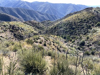
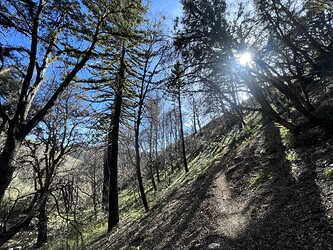
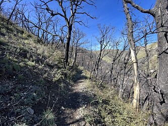
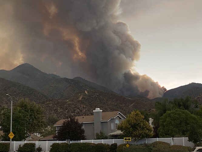
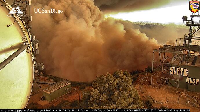
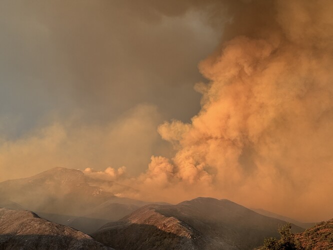
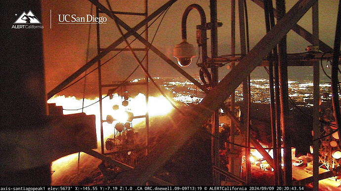
The Jim 2022 scar may have a fighting chance in slowing/stopping on the top slope. Here are some photos in the scar in January of this year .
Who is responsible for maintenance on the communication towers? There should not be this amount of vegetation around vital equipment! This is crazy.
Hate to say it but see it on most large fires across the state, the towers get neglected out side of the fenced in areas until they are threatened
Calfire Air Tactics 6 is the current air tac channel - 151.310
UTF on both VLATS and 2 LATS.
1 LAT eta 18:39
I’m down in Robinson Ranch above Trabuco, dozers working some contingency line for the suburbs but this fire looks halfway to Lake Elsinore from the base of Santiago. Fire behavior is still “sporty” and would love to hear what the old timers think this fire will do direction wise…
Each individual site owner is responsible for inside the perimeter fence. Depending on the property owner, outside of the fence varies. If it is state owned land it’s easy, fed owned or private owned can be touchy.
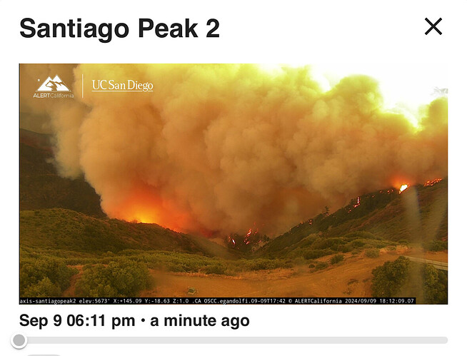
Based on the footage from the cams, it looks like crews arrived at the Santiago repeater site a short time ago.
In SDU, I worked for HPWREN after retiring helping to install tower hardware. We were active that all the Comm sites used take defensive space seriously.
These million dollar Comm sites across the country still fail to have limited defensive space. Maybe the mountain top lease/owners should charge higher fees and provide such defensive space?
They are making plenty of space right now
The fire has slopped over Main divide. Advising the size is hard to tell but best guess is 10-15 acres.
The ultimate define irony moment:
INTEL24 onscene for a mapping mission.
Any good scanner links? I can’t find anything that is viable.
Wow! nice slope reversal towards the heal
