Wildfire Intel
CA-PNF-Gold Complex? (Mill and Smith)
California & Hawaii Hotlist
Questions and Discussion
NVPFE
July 23, 2024, 1:49am
61
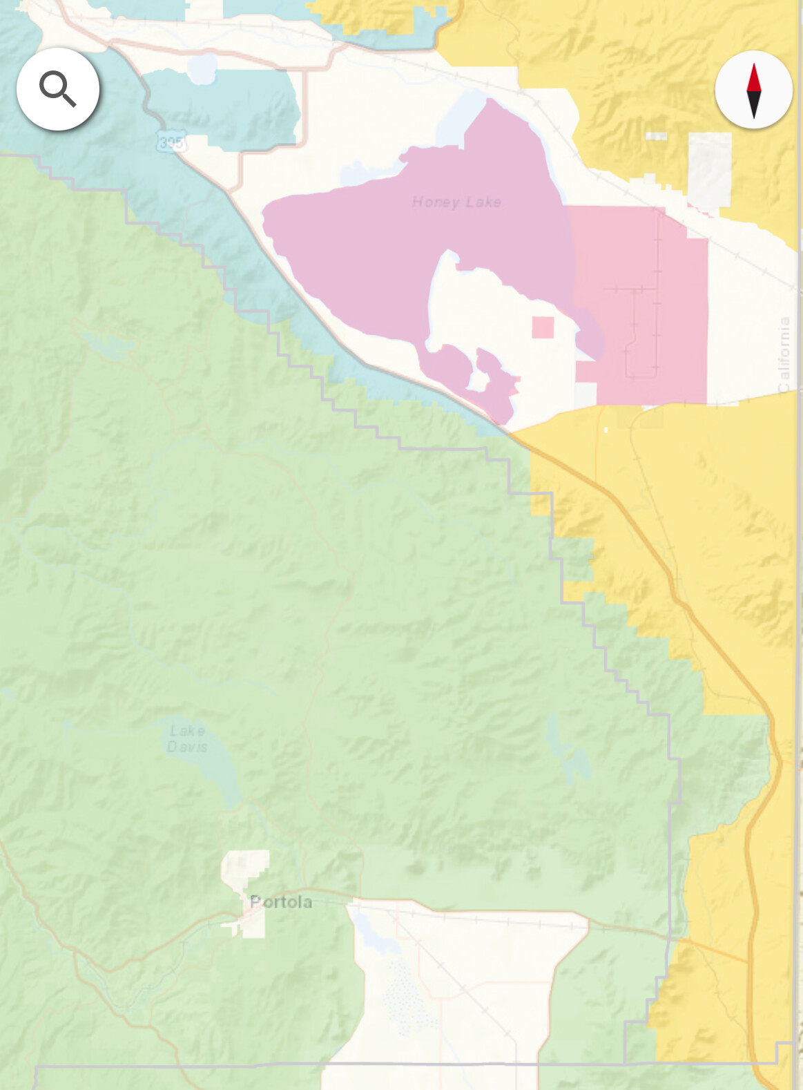
image
1163×1578 207 KB
DPA map, the blue up by Doyle is the closest SRA DPA
4 Likes
show post in topic