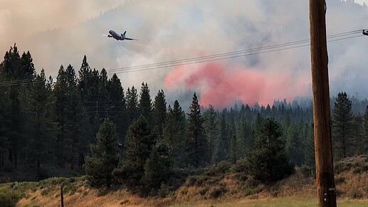
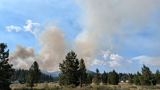
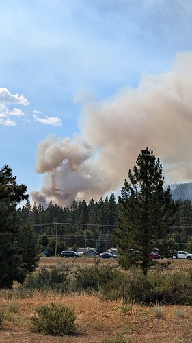
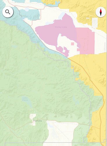
Looks like Intel 12 is headed that way for mapping
I live here! There was a front that came through with very little rain, lots of lightning. The Smith one has me worried for my house. Still got a ways to go, I’ll post some pictures!
Stay safe and prayers for you.
Beckwourth Fire District was supposed to hire a new Chief. Welcome to the new district…
Is the fire growth, particularly on the Smith, slowing or am I merely exhibiting wishful thinking?
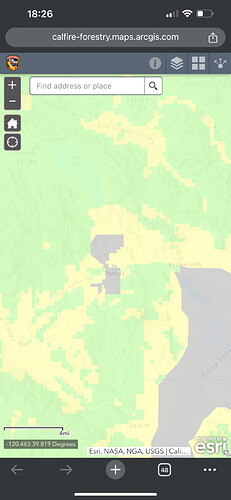
For anyone familiar with the boundaries in this area, is it all FRA for a while?
Been deployed around there a couple of times. seems like it’s all Feds. Dixie fire had a spike camp out there, also the walker fire a few years ago also had a fed spike camp in and around smith moutain.
I was recently at Rico’s for Mexican food in Portola, and the new chief was, too, along with others from the BFD who were passing along info about personnel and events relating to the department. He was introduced to three CHP officers sitting at the table next to mine. Welcome to the mountains, indeed.
I live outside of Greenville. It’s scary dry around the country and region this year.
Thats ownership, the DPA layer shows as all FRA to the state line.
Got a decent wind sheer on the column, assuming it’s due to temp inversion layer with the column capping at roughly the same elevation.
After the drops it seems to have calmed down a little but I’m home prepping now so I don’t have as good of an angle for pictures/seeing it as from Delleker today
Anyone heard some resource requests yet?
LMU sent 5 engines immediate need.
I should know better. Thanks. I don’t show a DPA layer in that map viewer. Do you?
nothing crazy, just ordered a VLAT
T-911 inbound, AA655 in tow (assuming relief AA).
FIRIS 12 still mapping over the Mill
Tankers 88, 89, 95, 104, and 210 assigned
Edit: Add Tanker 167 into the mix
Firis mapped all 3 fires together as one. 683 acres.
