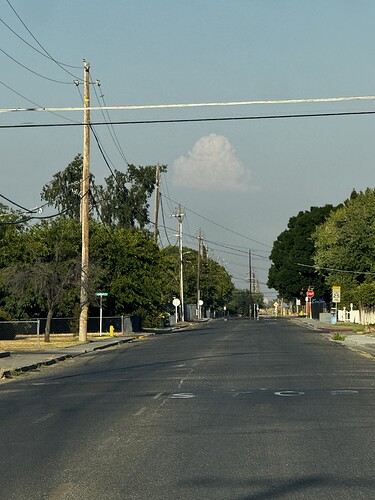
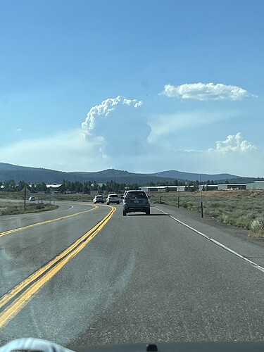
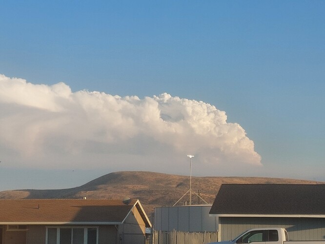
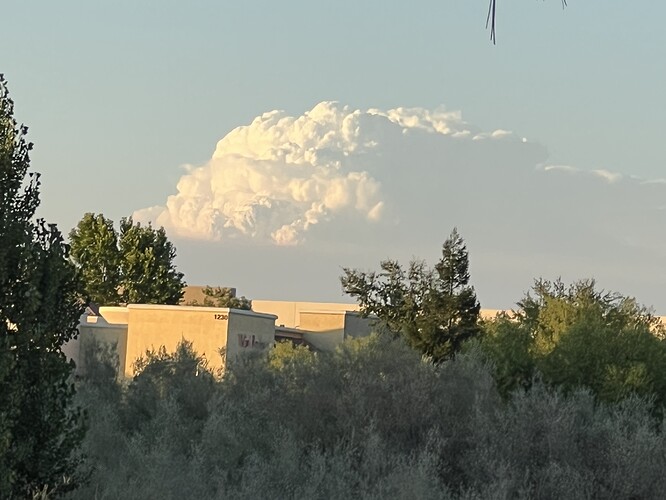
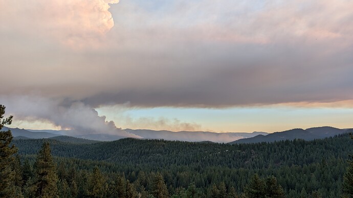
Poking through the haze in the valley floor. From Orland
California CIIMT 10, the only Federal IMT available, is pre-positioned in So Cal. May want to start heading north.
General statement would be Plumas Co is FRA
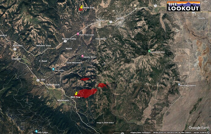
Thanks pyrogeography, my friends that live at Clio Trestle really appreciate this awesome tech.
Tankers 01, 03, 103, 104, 167, 210, 911, 88, 89, 93, 94 95
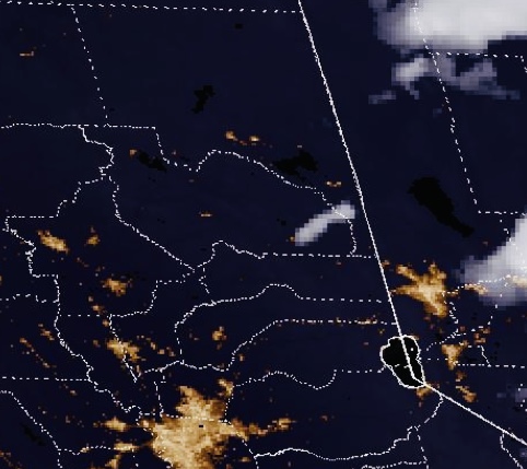
**GOES Satellite**
Residences near Davis Lake too. Even mentioned the valley just north of Davis Lake too.
I just heard a Plumas Co SO unit report smoke in the Genessee Valley too. They think drift smoke.
It’s making a mess out there… Dangit!
https://calfire-forestry.maps.arcgis.com/home/index.html
It is on page 2
Not far from Lake Davis
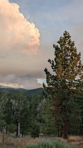
The Smith had me really worried for a while. The first one has both (Mill to the left, large, Smith barely visible to the right). The second one is the Mill smoke column from my house.
8 pm update from North Ops: 1,288 acres grass, 0% contained with a continued rapid rate of spread and spotting ahead of the fire. The communities of Portola, Delleker, Mabie, Clio and surrounding areas are threatened. Evacuation Orders and Warnings have been issued. Highway 89 and County Rd. A15 is closed in the fire area.
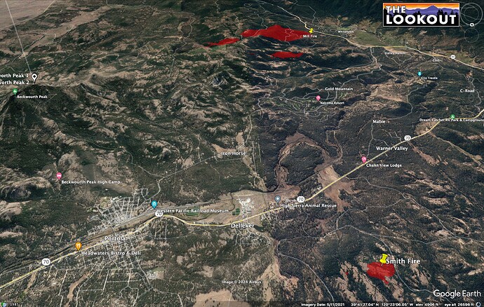
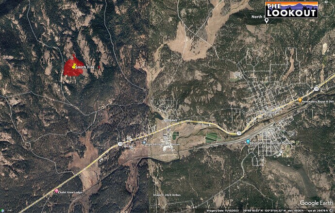
I think they’ll wrap Smith tonight. It looks like it has decent access, and the S2s really made some early hay on it in the grass understory. It wasn’t as aligned with the winds this afternoon.
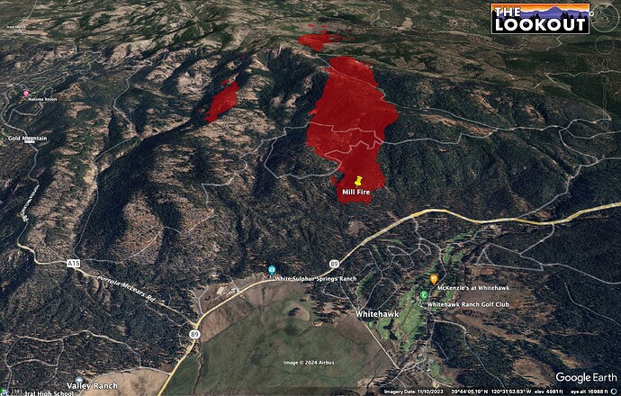
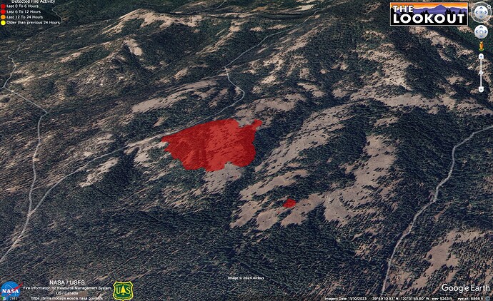
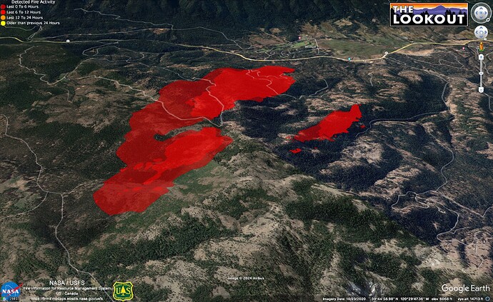
The more northern of the two fires in Mill is just now pushing the first major ridge. From the 6 hour loop on Beckwourth peak, It looks like Mill Fire started as 3 separate fires, with one being on top of the ridge.
19:30 FIRIS image, below - the right hand fire is at the ridge, now.
https://ops.alertcalifornia.org/cam-console/1608
Sounds like LMU and some local Gov Charlie’s were sent up there, I’m sure a ton of fed resources as well. I’m curious when the big order and team will be sent
Believe I just heard 9162C sent immediate need, they were covering LNU
